geocat.ch
swissTLMRegio Hydrography
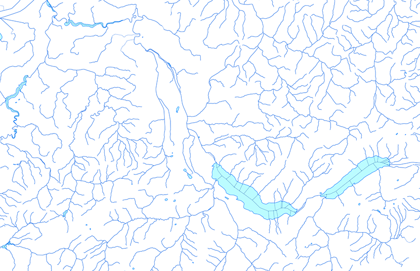
The topic Hydrography contains the different features connected to water. It consists of 6 feature classes and one table. The lines of "FlowingWater" and "StagnantWater" and the points of "GWK_FW_Node" are connected with each other according to a so called edge-node structure. Edges (lines) are connected to each other with nodes (points). Every edge has therefore exactly two nodes at its end. Edges and Nodes together build a geometric network. In collaboration with the Federal Office for Water and Geology (BWG), the edges and nodes in Switzerland were structured and addressed according to GEWISS (the Swiss Water Information System). For this reason, the so called GEWISS-Attributes were integrated. A Feature Class with information on waterfalls, locks and other objects was integrated into this topic.
Simple
- Alternate title
-
Hydrology swissTLMRegio
- Date (Publication)
- 2012-02-24
- Date (Revision)
- 2025-12-02
- Identifier
- ch.swisstopo.vec200-hydrography
- Other citation details
-
Part of the swissTLMRegio dataset
- Status
- Completed
Point of contact
- Spatial representation type
- Vector
Spatial resolution
Equivalent scale
- Denominator
- 200000
- Topic category
-
- I Inland waters
Extent
Extent
- Description
-
swissTLMRegio
Identifier
- Code
))

- Maintenance and update frequency
- Annually
- Hierarchy level
- Dataset
- geocat.ch
-
-
GIS (Geographic Information System)
-
- geocat.ch
-
-
river
-
- geocat.ch
-
-
landscape model
-
- geocat.ch
-
-
opendata.swiss
-
- GEMET - INSPIRE themes, version 1.0
-
-
Hydrography
-
Geographical names
-
- GEMET
-
-
water (geographic)
-
bank (land)
-
- GEMET
-
-
geographic information system
-
- GEMET
-
-
lake
-
- GEMET
-
-
brook
-
- geocat.ch
-
-
FSDI Federal Spatial Data Infrastructure
-
- GEMET
-
-
nomenclature
-
Associated resource
- Association Type
- Reference to a master resource of which this one is a part
- Metadata Reference
Associated resource
- Title
-
Topografisches Landschaftsmodell (Landesvermessung)
- Association Type
- Reference to a master resource of which this one is a part
- Language
- English
- Character encoding
- UTF8
- Language
- Deutsch
- Character encoding
- UTF8
- Supplemental Information
-
The topics Transportation, Hydrography, Landcover, Buildings, Miscellaneous, Names and Administrative boundaries collectively form the dataset swissTLMRegio .
- Basic Geodata
- true
- Basic Geodata ID
-
38.13
- Basic Geodata Legal Level
- Federal
- Distribution format
-
-
ESRI Personal Geodatabase (Personal-GDB)
-
AutoCAD DXF (DXF)
-
ESRI Shapefile (SHP)
-
INTERLIS 2 (XTF)
-
OGC Geopackage (GPKG)
-
Point of contact
- Title
-
INTERLIS 2 (XTF)
- Date
Digital transfer options
- OnLine resource
-
Vorschau map.geo.admin.ch
Preview map.geo.admin.ch
Digital transfer options
- OnLine resource
-
ch.swisstopo.vec200-hydrography
WMS-FSDI service, layer "Hydrology swissTLMRegio"
Digital transfer options
- OnLine resource
-
ch.swisstopo.vec200-hydrography
WMTS-FSDI service, layer "Hydrology swissTLMRegio"
Digital transfer options
Digital transfer options
Digital transfer options
Digital transfer options
- OnLine resource
-
RESTful API von geo.admin.ch
RESTful API from geo.admin.ch
- Statement
-
Based on a 1:200 000 scale. Geometric precision: 20-60 m.
- Hierarchy level
- Dataset
- Topology level
- Full planar graph
- Geometric object type
- Point
- Geometric object count
- 12780
- Geometric object type
- Curve
- Geometric object count
- 31595
- Geometric object type
- Surface
- Geometric object count
- 2504
- Reference system identifier
- EPSG:21781
- Reference system identifier
- EPSG:2056
- Maintenance and update frequency
- Annually
- Date
- 2026-10-15
- Date type
- nextUpdate
Metadata
- Metadata identifier
- f22843ce-ee17-43b3-adc8-ad7015043984
- Language
- Deutsch
- Character encoding
- UTF8
- Language
- Français
- Character encoding
- UTF8
- Language
- Italiano
- Character encoding
- UTF8
- Language
- English
- Character encoding
- UTF8
- Language
- Rumantsch
- Character encoding
- UTF8
Point of contact
Type of resource
- Resource scope
- Tile
- Name
-
Topic
- Metadata linkage
-
https://www.geocat.ch/geonetwork/srv/api/records/f22843ce-ee17-43b3-adc8-ad7015043984
- Date info (Creation)
- 2008-04-23T12:00:00Z
- Date info (Revision)
- 2026-04-13T09:15:49.835854Z
Metadata standard
- Title
-
eCH-0271