geocat.ch
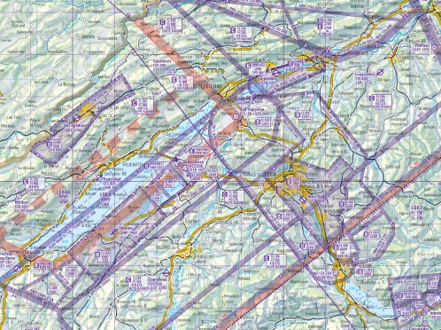
Map of restricted and danger areas 1:350'000
Die Sperr- und Gefahrenzonenkarte ist eine Planungskarte welche Flugsicherheitszonen und Luftraumklassen enthält. Sie ist entstanden in Zusammenarbeit zwischen der skyguide, der swisstopo und der Schweizer Luftwaffe und ist auf die Bedürfnisse der Operationen der Schweizer Luftwaffe zugeschnitten. Die Karte wird einmal im Jahr auf das Datum der Luftraumstrukturänderung der Schweiz herausgegeben.
Simple
- Alternate title
-
Map of restricted and danger areas
- Date (Publication)
- 2026-03-19
- Edition
-
37. Ausgabe
- Edition date
- 2026-03-19T00:00:00
- Identifier
- ch.vbs.sperr-gefahrenzonenkarte
Owner
- Topic category
-
- P Transportation
Extent
Extent
- Description
-
Aeronautical Chart 1:350'000
- Geographic identifier
- GLDK
))

- Maintenance and update frequency
- Annually
Editor
- geocat.ch
-
-
air navigation
-
- GEMET
-
-
armed forces
-
- geocat.ch
-
-
FSDI Federal Spatial Data Infrastructure
-
Resource constraints
- Classification
- Unclassified
- Language
- Deutsch
- Character encoding
- UTF8
- Distribution format
-
-
andere Formate auf Anfrage
-
Digital transfer options
- OnLine resource
-
Vorschau map.geo.admin.ch
Preview map.geo.admin.ch
Digital transfer options
- OnLine resource
-
ch.vbs.sperr-gefahrenzonenkarte
WMS-FSDI service, layer "Map of restricted and danger areas"
Digital transfer options
- OnLine resource
-
ch.vbs.sperr-gefahrenzonenkarte
WMTS-FSDI service, layer "Map of restricted and danger areas"
Metadata
- Metadata identifier
- ef594c48-dcc6-4e22-894d-db65873637a3
- Language
- Deutsch
- Character encoding
- UTF8
- Language
- Français
- Character encoding
- UTF8
- Language
- Italiano
- Character encoding
- UTF8
- Language
- Rumantsch
- Character encoding
- UTF8
- Language
- English
- Character encoding
- UTF8
Processor
Type of resource
- Resource scope
- Dataset
- Metadata linkage
-
https://www.geocat.ch/geonetwork/srv/api/records/ef594c48-dcc6-4e22-894d-db65873637a3
- Date info (Creation)
- 2018-01-24T09:32:51Z
- Date info (Revision)
- 2026-06-15T09:16:41.148319Z
Metadata standard
- Title
-
eCH-0271