 geocat.ch
Hecken, Feld- und Ufergehölze
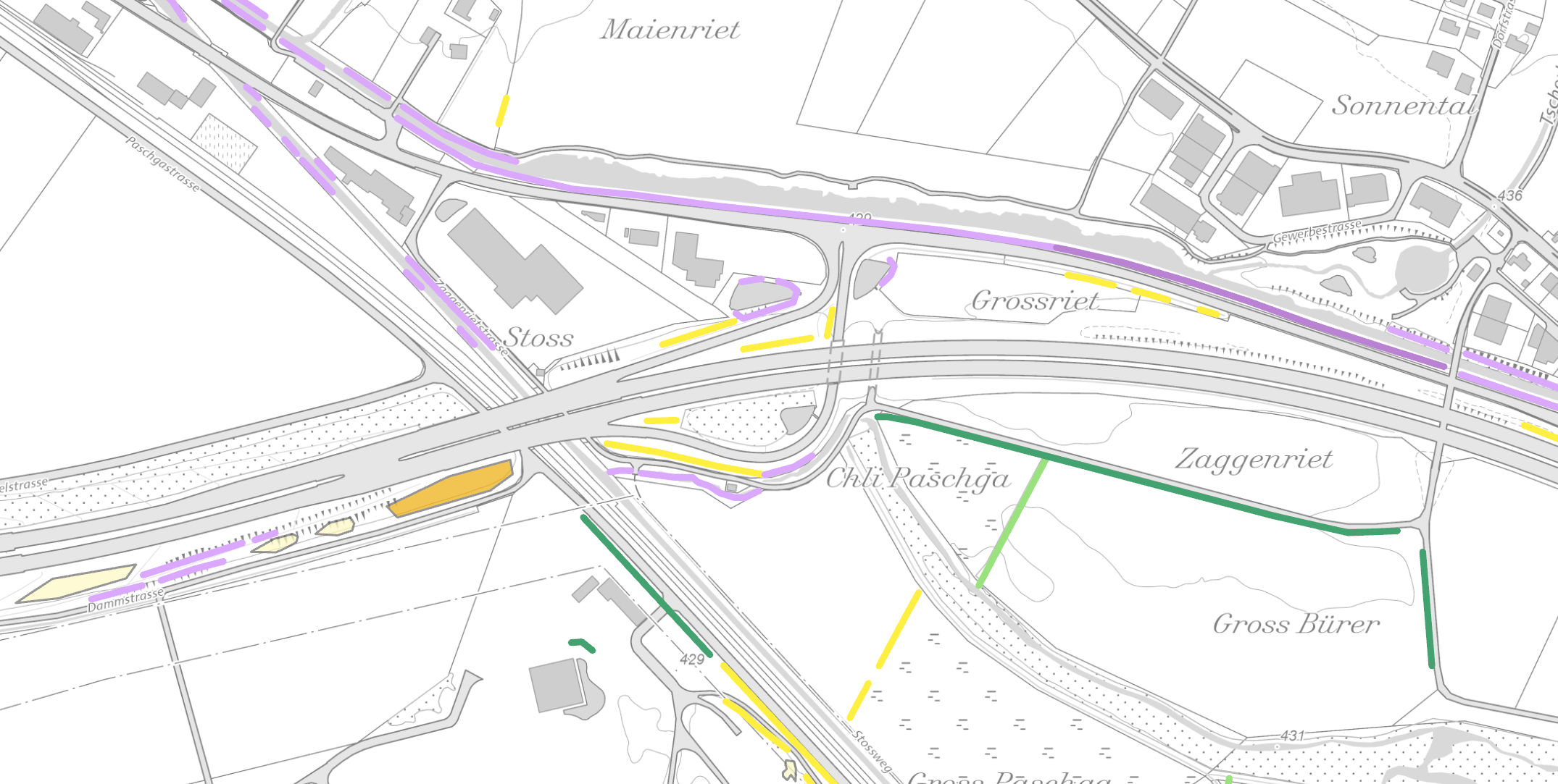
Zustandserfassung von Hecken-, Feld- und Ufergehölzen (ausserhalb Basiswald und Siedlungsgebiet) im Jahr 2019 auf der Grundlage von Luftbildern.
Simple
- Date (Creation)
- 2024-04-11
- Date (Revision)
- 2026-06-21
- Other citation details
-
Natur- und Landschaftsschutz
- Purpose
-
Das kantonale Heckenmonitoring soll Aufschluss über den Zustand der Hecken-, Feld- und Ufergehölze im Kanton St.Gallen im Jahr 2019 geben. Die Inventarisierung soll Grundlage für den Schutz und die Erhaltung der ökologisch wertvollen Landschaftselemente schaffen.
partner
- Hours of service
-
Mo. - Fr. von 8:00 - 17:00 Uhr
- Spatial representation type
- Vector
Extent
Extent
- Description
-
Kanton St.Gallen
))
- Maintenance and update frequency
- As needed
- geocat.ch
-
-
Bestockung
-
Resource constraints
- Access constraints
- Other restrictions
- Other constraints
-
B = beschränkt öffentlich
Resource constraints
- Classification
- Unclassified
- Language
- Deutsch
- Subtopic Category
- L2 Nature and Landscape Protection
- Distribution format
-
-
ESRI Shapefile
-
Distributor
- Hours of service
-
Mo. - Fr. von 8:00 - 17:00 Uhr
Digital transfer options
- Statement
-
Das Inventar basiert auf der kantonsweiten Luftbildbefliegung (swisstopo) von 2019.
- Hierarchy level
- Dataset
- Reference system identifier
- CH1903+_LV95 / EPSG 2056
Metadata
- Metadata identifier
- ee4f93dd-36a8-4930-93b6-913edc614f3a-8371
- Language
- Deutsch
- Character encoding
- UTF8
Resource provider
- Hours of service
-
Mo. - Fr. von 8:00 - 17:00 Uhr
Type of resource
- Resource scope
- Dataset
- Date info (Revision)
- 2026-06-21T01:15:41+02:00
Metadata standard
- Title
-
GM03 Core
)))
