geocat.ch
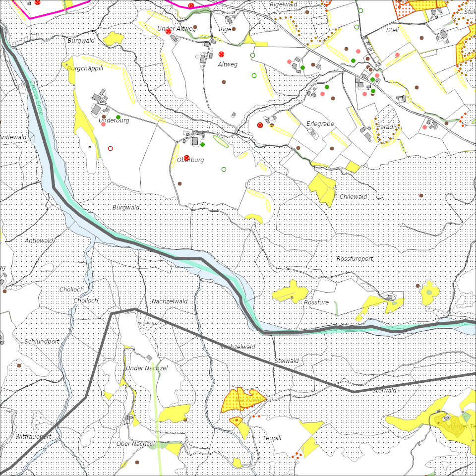
Ökologische Vernetzungsprojekte
Landwirtschaftliche Vernetzungsprojekte zur Erhaltung und Förderung der natürlichen Artenvielfalt auf der landwirtschaftlichen Nutzfläche.
Simple
Informazioni di identificazione
- Titolo alternativo
-
VNPROJXX_COL
- Data (Creazione)
- 2025-12-25
- Formato di presentazione
- Mappa digitale
- Finalità
-
Das Ziel von Vernetzungsprojekten ist es, die natürliche Artenvielfalt auf der landwirtschaftlichen Nutzfläche zu erhalten und zu fördern. Dafür werden Biodiversitätsförderflächen (BFF) so platziert und bewirtschaftet, dass günstige Bedingungen für die Entwicklung und Verbreitung von Tieren und Pflanzen entstehen. Beiträge für die Vernetzung werden ausgerichtet, wenn die Flächen nach den Vorgaben eines vom Kanton genehmigten regionalen Vernetzungsprojektes angelegt und bewirtschaftet werden. Ein Vernetzungsprojekt dauert jeweils acht Jahre. Die Beiträge werden zu 90 % vom Bund und zu 10 % von der Standortgemeinde übernommen.Im Kanton Luzern gibt es rund 55 lokale Vernetzungsprojekte, welche die landwirtschatliche Nutzfläche zu 96 % abdecken.Ca. drei Viertel aller Landwirtschaftsbetriebe im Kanton Luzern machen in einem Vernetzungprojekt mit und setzen somit Massnahmen zu Gunsten der Ziel- und Leitarten um.
- Status
- In corso
Punto di contatto
Servizio responsabile
- Nome dell'ente
-
Kanton Luzern, Abteilung Geoinformation
- Telefono
-
041 228 51 83
Indirizzo
- Risorsa online
- https://geoportal.lu.ch/ ( https )
- Ruolo
- Publisher
Punto di contatto
Servizio responsabile
- Nome dell'ente
-
Dienststelle Landwirtschaft und Wald (lawa)
- Telefono
-
041 349 74 00
Indirizzo
- Ruolo
- Owner
- Cognome
-
Dienststelle Landwirtschaft und Wald (lawa)
- Abbreviazione dell'organizzazione
-
lawa
- Frequenza di aggiornamento
- Secondo necessità
-
geocat.ch
-
-
opendata.swiss
-
Artenschutz
-
Biodiversität
-
Lebensraum
-
Naturschutz
-
- Vincoli di accesso
- none
- Vincoli di fruibilità
- Proprietà intellettuale dei dati
- Limitazione d’uso
-
öffentlich zugängliche Geobasisdaten
- Vincoli di accesso
- none
- Vincoli di fruibilità
- none
- Limitazione d’uso
-
Freie Nutzung. Quellenangabe ist Pflicht
- Identificatore aggregato del dataset
- 44ea453b-428a-43c0-b061-7ea0df419f00
- Tipo di associazione
- Larger work citation
- Tipo di rappresentazione spaziale
- undefined
- Lingua dei metadati
- Deutsch
- Set dei caratteri dei metadati
- UTF8
- Tema
-
- L Protezione dell'ambiente e della natura
- L2 Protezione della natura e del paesaggio
- Descrizione
-
Kanton Luzern
))
- Formato di distribuzione
-
-
ESRI Geodatabase (.gdb)
(
)
-
ESRI Shapefile (.shp)
(
)
-
OGC GeoPackage (.gpkg)
(
)
-
ESRI Geodatabase (.gdb)
(
)
Distributore
Servizio responsabile
- Nome dell'ente
-
Dienststelle Raum und Wirtschaft (rawi)
- Telefono
-
041 228 51 83
Indirizzo
- Risorsa online
- https://geoportal.lu.ch ( https )
- Ruolo
- Point of contact
- Nome
-
Geodaten
- Cognome
-
Kanton Luzern
- Abbreviazione dell'organizzazione
-
rawi
- Risorsa online
-
Datenshop
(
https
)
Produktansicht Geodatenshop
- Livello
- Set di dati
- Genealogia del dato – Processo di produzione
-
unbekannt
- Identificatore del sistema di riferimento
- CH1903+
Metadata
- Lingua dei metadati
- Deutsch
- Set dei caratteri dei metadati
- UTF8
- Livello gerarchico
- Set di dati
- Data dei metadati
- 2025-11-15
- Nome dello Standard dei metadati
-
GM03 2+
Contatto
Servizio responsabile
- Nome dell'ente
-
Dienststelle Raum und Wirtschaft (rawi)
- Telefono
-
041 228 51 83
Indirizzo
- Città
-
Luzern
- Codice postale
-
6002
- Nazione
-
CH
- Via
-
Murbacherstrasse
- Numero
-
21
- Risorsa online
- https://geoportal.lu.ch ( https )
- Ruolo
- Point of contact
- Nome
-
Joelle
- Cognome
-
Linggi
- Abbreviazione dell'organizzazione
-
rawi
- Frequenza di aggiornamento
- Secondo necessità