geocat.ch
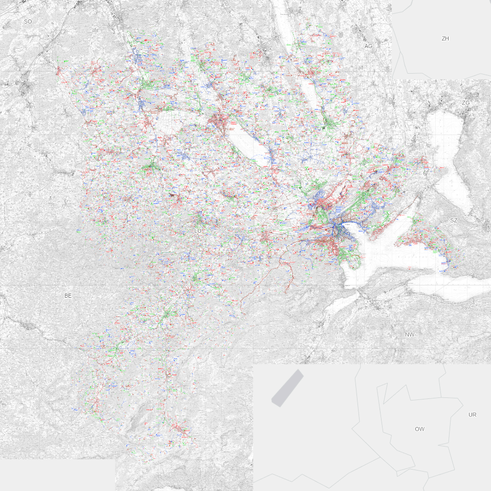
Wasserversorgungsatlas (2006)
Wasserversorgungsatlas (WVA): Inventar der Wasserversorgungsanlagen und Grundwasservorkommen des Kantons Luzern
Simple
Identification info
- Alternate title
-
WVATLXXX_DS
- Date (Creation)
- 2002-07-04
- Presentation form
- Digital map
- Purpose
-
Der Wasserversorgungsatlas ist als Führungsinstrument bei der Versorgung mit Trinkwasser in Notlagen erforderlich. Er beschränkt sich inhaltlich auf das Wesentliche und vermittelt einen übergeordneten, schnellen und in einer Notsituation entscheidenden Überblick.
- Status
- On going
Point of contact
Responsible party
- Organisation name
-
Kanton Luzern, Abteilung Geoinformation
- Voice
-
041 228 51 83
Address
- City
-
Luzern
- Postal code
-
6002
- Country
-
CH
- Electronic mail address
- Streetname
-
Murbacherstrasse
- Streetnumber
-
21
- Website
- https://geoportal.lu.ch/ ( https )
- Role
- Publisher
Point of contact
Responsible party
- Organisation name
-
Dienststelle Raum und Wirtschaft (rawi)
- Voice
-
041 228 51 83
Address
- City
-
Luzern
- Postal code
-
6002
- Country
-
CH
- Electronic mail address
- Streetname
-
Murbacherstrasse
- Streetnumber
-
21
- Website
- https://geoportal.lu.ch ( https )
- Role
- Owner
- Last Name
-
Dienststelle Raum und Wirtschaft (rawi)
- Organisation Acronym
-
rawi
- Maintenance and update frequency
- As needed
-
geocat.ch
-
-
Gebäude und Anlagen
-
Grundwasser
-
Leitung
-
Leitungskataster
-
Naturgefahren
-
Risiken
-
Schadenereignis
-
Trinkwasser
-
Ver- und Entsorgung
-
- Access constraints
- Restricted
- Use constraints
- Restricted
- Use limitation
-
beschränkt öffentlich zugängliche Geobasisdaten
- Access constraints
- none
- Use constraints
- none
- Use limitation
-
Beschränkt öffentlich zugängliche Geobasisdaten ("Zugangsberechtigungsstufe B") gemäss §7, Art. 21 GeoIV. Jegliche Nutzung nur Zweckgebunden mit Bewilligung der zuständigen Stelle. Quellenangabe ist Pflicht.
- Aggregate Datasetindentifier
- f72f93eb-8710-4868-b242-2cf6087b13b7
- Association Type
- Larger work citation
- Spatial representation type
- Grid
- Denominator
- 25000
- Language
- Deutsch
- Character set
- UTF8
- Topic category
-
- Q Utilities, Supply, Disposal, Communication
- Q2 Water and Waste Systems
- Description
-
Kanton Luzern
))
- Distribution format
-
-
Tagged Image File Format (.tif)
(
6.0
)
-
Tagged Image File Format (.tif)
(
6.0
)
Distributor contact
Responsible party
- Organisation name
-
Dienststelle Raum und Wirtschaft (rawi)
- Voice
-
041 228 51 83
Address
- City
-
Luzern
- Postal code
-
6002
- Country
-
CH
- Electronic mail address
- Streetname
-
Murbacherstrasse
- Streetnumber
-
21
- Website
- https://geoportal.lu.ch ( https )
- Role
- Point of contact
- First Name
-
Geodaten
- Last Name
-
Kanton Luzern
- Organisation Acronym
-
rawi
- OnLine resource
-
Datenshop
(
https
)
Produktansicht Geodatenshop
- Hierarchy level
- Dataset
- Statement
-
Grundlagen: Landeskarte 1:25'000 (LK25)
- Reference system identifier
- CH1903+
Content Information
Metadata
- Metadata language
- Deutsch
- Character set
- UTF8
- Hierarchy level
- Dataset
- Date stamp
- 2025-09-03
- Metadata standard name
-
GM03 2+
Metadata author
Responsible party
- Organisation name
-
Dienststelle Raum und Wirtschaft (rawi)
- Voice
-
041 228 51 83
Address
- City
-
Luzern
- Postal code
-
6002
- Country
-
CH
- Electronic mail address
- Streetname
-
Murbacherstrasse
- Streetnumber
-
21
- Website
- https://geoportal.lu.ch ( https )
- Role
- Point of contact
- First Name
-
Marius
- Last Name
-
Menz
- Organisation Acronym
-
rawi
- Maintenance and update frequency
- Not planned