geocat.ch
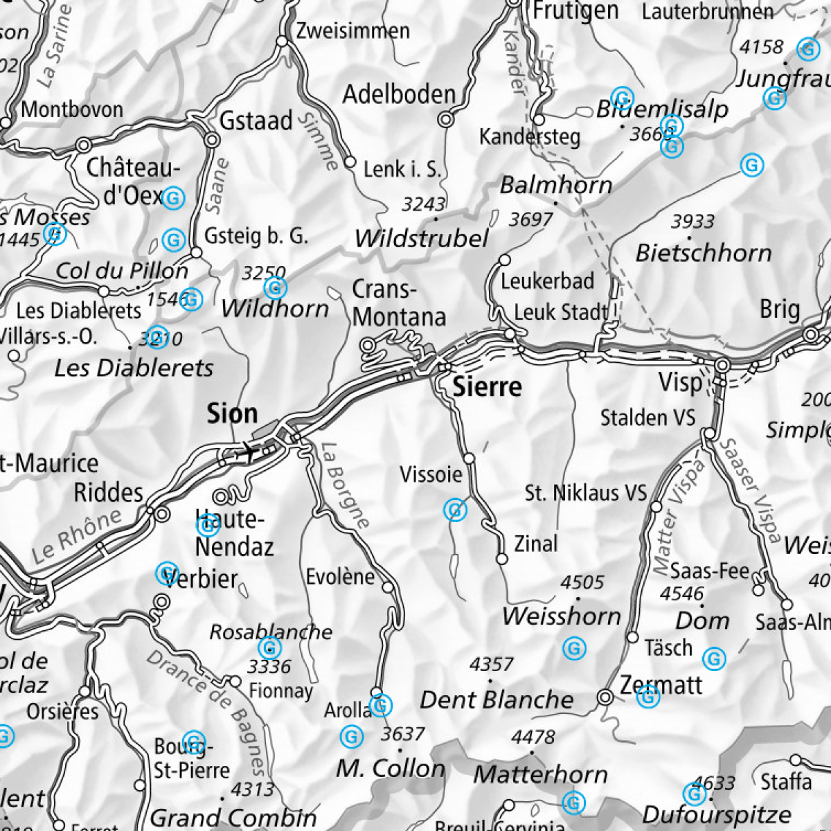
Mountain landing sites: specially designated landing sites situated above 1100 m altitude
Mountain landing sites are landing fields that are located outside an aerodrome at over 1100 m altitude and that have no infrastructure. They are used for instruction and training purposes, and to transport tourists. The authoritative list of mountain landing sites approved by the FOCA with specific additional information is published in the Swiss aeronautical publication in the VFR Manual under AGA 3-3-1. Use of mountain landing sites by fixed-wing aircraft: only if the site is suitable. Use of mountain landing sites by helicopters: outlanding may take place within a reasonable distance, i.e. within a radius of up to 400 m from the point determined by the coordinates within the limits of the topographical description (Swiss Federal Council decision of 7 May 1980). Please note: This is not an official aeronautical data publication. The information provided does not necessarily reflect the latest operational data.
Simple
- Alternate title
-
Mountain landing sites
- Date (Creation)
- 2016-06-23T00:00:00
- Date (Publication)
- 2025-03-20T00:00:00
- Identifier
- ch.bazl.gebirgslandeplaetze
Point of contact
- Spatial representation type
- Vector
Spatial resolution
Equivalent scale
- Denominator
- 5000
Spatial resolution
Equivalent scale
- Denominator
- 1000000
- Topic category
-
- P Transportation
Extent
Extent
- Description
-
Switzerland
))

Extent
Extent
- Description
-
Liechtenstein
))

- Maintenance and update frequency
- Unknown
- geocat.ch
-
-
air navigation
-
airfield
-
linked data
-
opendata.swiss
-
- GEMET
-
-
air traffic
-
mountain range
-
- geocat.ch
-
-
FSDI Federal Spatial Data Infrastructure
-
Resource constraints
- Use constraints
- Other restrictions
- Other constraints
- Opendata BY: Open use. Must provide the source.
- Language
- Deutsch
- Character encoding
- UTF8
- Distribution format
-
-
ESRI Shapefile (SHP)
-
OGC Geopackage (GPKG)
-
Digital transfer options
- OnLine resource
-
Vorschau map.geo.admin.ch
Preview map.geo.admin.ch
Digital transfer options
Digital transfer options
- OnLine resource
-
Linked Data Dienst BGDI
Digital transfer options
Digital transfer options
- OnLine resource
-
Linked Data
Digital transfer options
Digital transfer options
- OnLine resource
-
RESTful API von geo.admin.ch
RESTful API from geo.admin.ch
Digital transfer options
- OnLine resource
-
ch.bazl.gebirgslandeplaetze
WMTS-FSDI service, layer "Mountain landing sites"
Digital transfer options
- Geometric object type
- Point
- Reference system identifier
- EPSG:2056
Metadata
- Metadata identifier
- d31ecd5b-e00c-430b-ab2e-d9148a199b9c
- Language
- Deutsch
- Character encoding
- UTF8
- Language
- Français
- Character encoding
- UTF8
- Language
- Italiano
- Character encoding
- UTF8
- Language
- English
- Character encoding
- UTF8
- Language
- Rumantsch
- Character encoding
- UTF8
Point of contact
Type of resource
- Resource scope
- Dataset
- Metadata linkage
-
https://www.geocat.ch/geonetwork/srv/api/records/d31ecd5b-e00c-430b-ab2e-d9148a199b9c
- Date info (Creation)
- 2016-06-24T15:19:39Z
- Date info (Revision)
- 2026-06-15T08:54:04.700432Z
Metadata standard
- Title
-
eCH-0271