geocat.ch
2000-Watt Sites
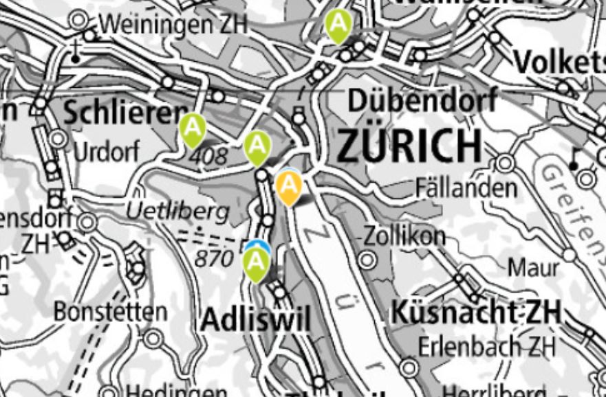
The 2000-Watt Sites label is used for certifying residential areas that are able to demonstrate a sustainable use of resources for the construction, operation and renovation of buildings, and the mobility associated with their operation. The certificate is structured on the basis of the Energy City label in combination with the Swiss Engineers and Architects Association’s Energy Efficiency Path for Buildings. For a housing development project, an application for a certificate may already be submitted at an early stage, and the label will then be issued after an assessment has been made of the project objectives and the binding agreement governing compliance with the specified objectives. A certificate for a housing development can be issued until such time as more than 50 percent of the building surface area has been handed over for the specified new purpose. This therefore means that the development has to demonstrably meet the criteria attached to the new certificate when in operation. The label is based on an assessment of the management system, communication and cooperation, the construction of the building and its operation, supply and disposal, as well as mobility.
Simple
- Alternate title
-
2000-Watt Sites
- Date (Creation)
- 2014-07-01T00:00:00
- Date (Revision)
- 2025-03-05T04:05:08.921694
- Identifier
- ch.bfe.energiestaedte-2000watt-areale
Point of contact
Spatial resolution
Equivalent scale
- Denominator
- 2500
Spatial resolution
Equivalent scale
- Denominator
- 100000
- Topic category
-
- Q Utilities communication
Extent
Extent
- Description
-
Switzerland
))

- Maintenance and update frequency
- Unknown
- geocat.ch
-
-
opendata.swiss
-
- geocat.ch
-
-
FSDI Federal Spatial Data Infrastructure
-
Resource constraints
- Use constraints
- Other restrictions
- Other constraints
- Opendata BY: Open use. Must provide the source.
- Language
- Deutsch
- Character encoding
- UTF8
- Subtopic Category
- Q1 Energy
- Distribution format
-
-
INTERLIS 2 (XTF)
-
OGC Geopackage (GPKG)
-
TEXT, comma separated (CSV)
-
Digital transfer options
- OnLine resource
-
Csv
Csv
Digital transfer options
- OnLine resource
-
Gepackage
Gepackage
Digital transfer options
- OnLine resource
-
Interlis
Interlis
Digital transfer options
- OnLine resource
-
ch.bfe.energiestaedte-2000watt-areale
WMS-FSDI service, layer "2000-Watt Sites"
Digital transfer options
- OnLine resource
-
swisstopo REST API
swisstopo REST API
- Geometric object type
- Surface
- Reference system identifier
- EPSG:2056
Metadata
- Metadata identifier
- d11e76bf-7df2-4057-8fa8-71a0a19523ea
- Language
- Deutsch
- Character encoding
- UTF8
- Language
- Français
- Character encoding
- UTF8
- Language
- Italiano
- Character encoding
- UTF8
- Language
- English
- Character encoding
- UTF8
- Language
- Rumantsch
- Character encoding
- UTF8
Point of contact
Type of resource
- Resource scope
- Dataset
- Metadata linkage
-
https://www.geocat.ch/geonetwork/srv/api/records/d11e76bf-7df2-4057-8fa8-71a0a19523ea
- Date info (Creation)
- 2014-06-26T11:46:56Z
- Date info (Revision)
- 2026-04-13T09:45:06.597822Z
Metadata standard
- Title
-
eCH-0271