geocat.ch
Geological Map of Switzerland 1:500000
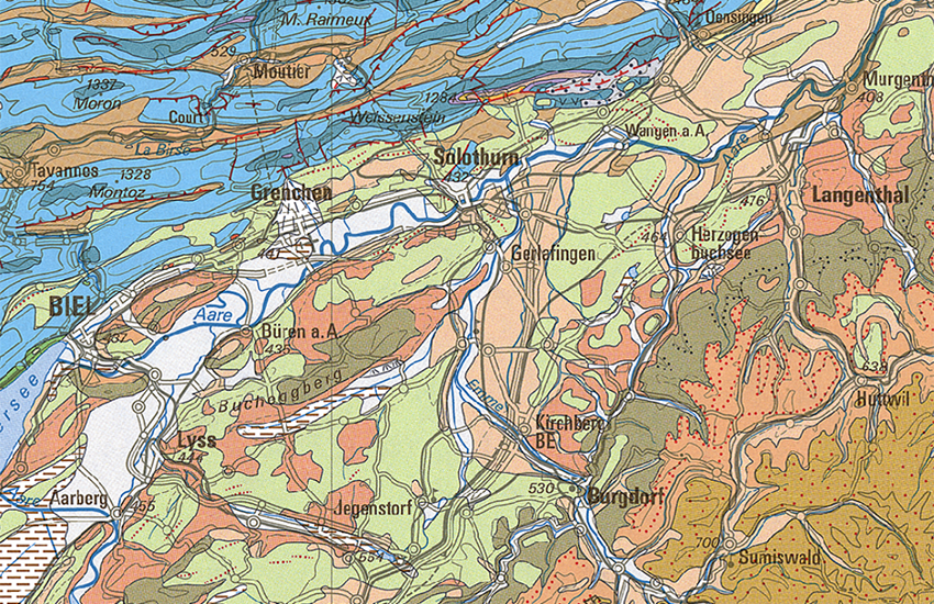
The 1:500,000 Geological Map of Switzerland covers the whole of Switzerland and adjoining parts of neighbouring countries. It gives an overview of the distribution of the uppermost rock strata occurring in Switzerland. Therefore, it provides an important data base and functions as a tool for gaining a better understanding of our environment in the scope of sustainable development. It is an essential aid for education in the fields of environmental and earth sciences, as well as natural hazards.
Simple
- Alternate title
-
Geology 500
- Date (Publication)
- 2005-12-31
- Date (Creation)
- 1980-01-01T00:00:00
- Identifier
- ch.swisstopo.geologie-geologische_karte
- Presentation form
- Hardcopy map
- Presentation form
- Digital map
- Name
-
GeoKarten 500
- Purpose
-
Übersicht über die Geologie der Schweiz
- Status
- Completed
Distributor
Point of contact
Owner
- Spatial representation type
- Grid
- Spatial representation type
- Vector
- Spatial representation type
- paperMap
Spatial resolution
Equivalent scale
- Denominator
- 500000
- Topic category
-
- F Geoscientific information
Extent
Extent
- Description
-
National Map 1:500'000
- Geographic identifier
- NM500
))

- Maintenance and update frequency
- As needed
- Duration of Conservation
- 275
- Appraisal of Archival Value
- A
- Reason for Archiving Value
- Evidence of business practice
- geocat.ch
-
-
official geodata
-
well-consolidated rock
-
e-geo.ch
-
Conservation and archiving planning AAP - Confederation
-
geologic map
-
opendata.swiss
-
- GEMET
-
-
earth science
-
stone
-
sedimentation (geology)
-
- geocat.ch
-
-
FSDI Federal Spatial Data Infrastructure
-
Associated resource
- Title
-
Geological maps
- Association Type
- Reference to a master resource of which this one is a part
- Language
- Deutsch
- Character encoding
- UTF8
- Language
- Français
- Character encoding
- UTF8
- Supplemental Information
-
Dieses Produkt ist Bestandteil der Serie der Geokarten 500 und ist als Druckversion (gefalzt oder plano), Pixelkarte oder Vektordatensatz erhältlich.
- Subtopic Category
- F1 Geology
- Basic Geodata
- true
- Basic Geodata ID
-
46.4
- Basic Geodata Legal Level
- Federal
- Basic Geodata Responsibility Level
- Federal
- Basic Geodata Access Level
- A
- Distribution format
-
-
analog
-
GeoTIFF (GEOTIFF)
-
ESRI Shapefile (SHP)
-
Digital transfer options
- OnLine resource
-
Vorschau map.geo.admin.ch
Preview map.geo.admin.ch
Digital transfer options
- OnLine resource
-
ch.swisstopo.geologie-geologische_karte
WMS-FSDI service, layer "Geology 500"
Digital transfer options
- OnLine resource
-
ch.swisstopo.geologie-geologische_karte
WMTS-FSDI service, layer "Geology 500"
Digital transfer options
Digital transfer options
Digital transfer options
Digital transfer options
Digital transfer options
- OnLine resource
-
RESTful API von geo.admin.ch
RESTful API from geo.admin.ch
- Statement
-
Gegenüber der vorhergehenden Ausgabe, die vor mehr als 25 Jahren erschien, zeigt die aktuelle Auflage einen deutlich verbesserten Detaillierungsgrad. Die neuen und überarbeiteten geologischen Daten der letzten Jahrzehnte sind in die aktuelle Auflage mit eingeflossen. Die detailliertere Legende ist dank eines überarbeiteten Layouts nun leichter lesbar und damit besser verständlich. Topografische Basis ist die Landeskarte 1:500'000 aus dem Jahr 2005.
- Hierarchy level
- Dataset
- Reference system identifier
- Referenzsystem entsprechend der zugrundeliegenden topographischen Karte (CH1903)
Metadata
- Metadata identifier
- ca917a71-dcc9-44b6-8804-823c694be516
- Language
- Deutsch
- Character encoding
- UTF8
- Language
- Français
- Character encoding
- UTF8
- Language
- Italiano
- Character encoding
- UTF8
- Language
- English
- Character encoding
- UTF8
- Language
- Rumantsch
- Character encoding
- UTF8
Point of contact
Type of resource
- Resource scope
- Dataset
- Metadata linkage
-
https://www.geocat.ch/geonetwork/srv/api/records/ca917a71-dcc9-44b6-8804-823c694be516
- Date info (Creation)
- 2009-10-14T12:00:00Z
- Date info (Revision)
- 2026-06-05T09:29:26.164956Z
Metadata standard
- Title
-
eCH-0271