geocat.ch
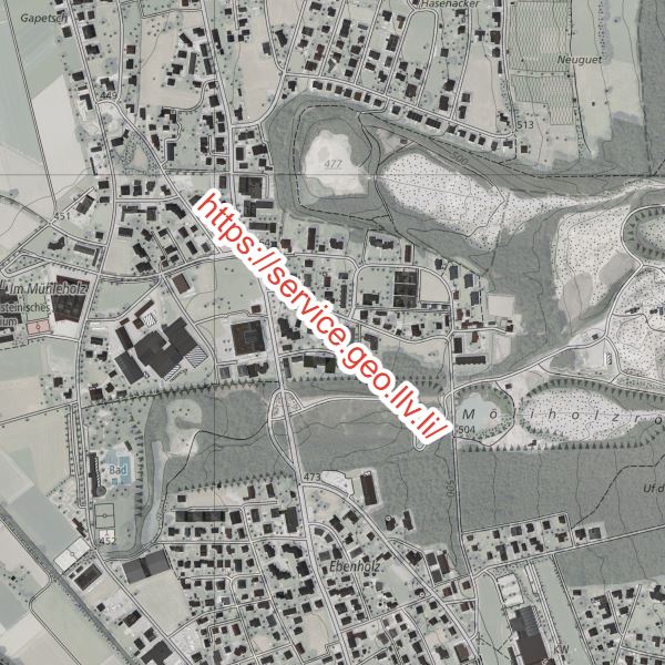
Geodatenportal der Liechtensteinischen Landesverwaltung
Online-Karten, Metadaten und Geodatendienste der Liechtensteinischen Landesverwaltung
Simple
- Date (Publication)
- 2013-08-24
- Identifier
- https://metadata.geo.llv.li/ca4f354f-7055-44e0-a09c-cd390a9b5ef8
- Purpose
-
Zugang GDI, Information
Point of contact
- Hours of service
-
8:00-11:30 und 13:30-17:00
Extent
Extent
- Description
-
Liechtenstein
))

- Maintenance and update frequency
- Unknown
Resource format
- Title
-
Tagged Image File Format (TIFF)
- Date
- geocat.ch
-
-
geodata
-
INSPIRE
-
geoservice
-
- GEMET - INSPIRE themes, version 1.0
-
-
Orthoimagery
-
- INSPIRE Service taxonomy
-
-
humanGeographicViewer
-
humanCatalogueViewer
-
- Räumlicher Anwendungsbereich
-
-
National
-
Resource constraints
- Access constraints
- Other restrictions
- Other constraints
- no limitations to public access
- Country
- LI
- Legislation Type
- Ordinance
- Legislation Level
- national
- Title
-
Verordnung vom 30. August 2011 über die Gebühren für die Nutzung der Geodateninfrastruktur Liechtenstein
- Alternate title
-
GDI-Gebührenverordnung (GDI-GebV)
- Date (Creation)
- 2010-12-08
Resource constraints
- Use limitation
-
Zugangs- und Nutzungsbedingungen
- Use constraints
- Other restrictions
- Other constraints
-
keine
- Service Version
-
1.3.0
- Coupling Type
- Loose
Contains Operations
- Operation Name
-
OnlineKarte
- Distributed computing platform (DCP)
- WebServices
- Connect Point
-
Geodatenportal
- Name
-
Geodatemportal
- Type name
-
Kartenviewer
- Optionality
- true
- Repeatability
- true
- Distribution format
-
-
Portable Network Graphics (PNG)
-
JPEG (JPG)
-
Digital transfer options
- Hierarchy level
- Service
- Other
-
Services
Report
Result
- Title
-
COMMISSION REGULATION (EU) No 1089/2010 of 23 November 2010 implementing Directive 2007/2/EC of the European Parliament and of the Council as regards interoperability of spatial data sets and services
- Date (Publication)
- 2010-12-08
- Explanation
-
nicht geprüft
- Pass
- false
- Statement
-
GDI-FL
- Hierarchy level
- Service
- Other
-
Services
- Reference system identifier
- http://www.opengis.net/def/crs/EPSG/0/4258
- Reference system identifier
- http://www.opengis.net/def/crs/EPSG/0/21782
- Maintenance and update frequency
- As needed
Metadata
- Metadata identifier
- ca4f354f-7055-44e0-a09c-cd390a9b5ef8
- Language
- Deutsch
- Character encoding
- UTF8
- Language
- Français
- Character encoding
- UTF8
- Language
- Italiano
- Character encoding
- UTF8
- Language
- English
- Character encoding
- UTF8
- Language
- Rumantsch
- Character encoding
- UTF8
Point of contact
- Hours of service
-
8:00-11:30 und 13:30-17:00
Owner
- Hours of service
-
8:00-11:30 und 13:30-17:00
Type of resource
- Resource scope
- Service
- Name
-
ViewService
- Metadata linkage
-
https://www.geocat.ch/geonetwork/srv/api/records/ca4f354f-7055-44e0-a09c-cd390a9b5ef8
- Date info (Creation)
- 2018-05-04T12:23:07Z
- Date info (Revision)
- 2026-05-05T12:36:03.858882Z
Metadata standard
- Title
-
eCH-0271