geocat.ch
Plans CartoJuraLéman - WMTS
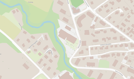
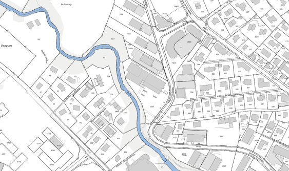
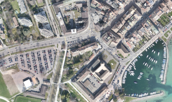
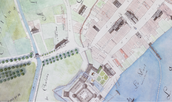
CartoJuraLéman propose différents plans pour mettre en valeur vos géodonnées, tels que des fonds de plan, plans altimétriques, plans historiques et orthophotos.
Ces informations sont dépourvues de fois publique.
Simple
- Date (Creation)
- 2023-04-13
Point of contact
- Maintenance and update frequency
- Unknown
Resource constraints
- Use limitation
-
La dénomination officielle de chaque couche (le titre) doit toujours être utilisée lors d'une intégration dans une application (ex. guichet cartographique).
- Service Version
-
1.0.0
Digital transfer options
- OnLine resource
-
Géoservice
Voir comment accéder à ce géoservice et son détail sur viageo.ch
Metadata
- Metadata identifier
- ca41395f-c059-4366-b792-cfb15b766698
- Language
- Français
- Character encoding
- UTF8
Point of contact
Type of resource
- Resource scope
- Service
- Name
-
Service
- Date info (Revision)
- 2023-04-13
Metadata standard
- Title
-
GM03 2+