geocat.ch
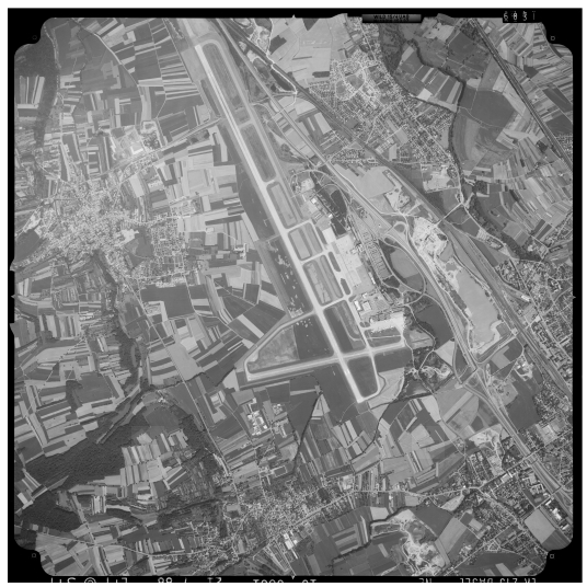
Digital aerial photographs
swisstopo's aerial photograph archive is an unique cultural asset which contains more than 600 000 images on film and in digital form. swisstopo's aerial photography is primarily used for the revision of national mapping and the production of the SWISSIMAGE orthophotomosaic product. The aerial images provide high resolution vertical views of the earth's surface. They contain a wealth of information and provide a valuable resource for the investigation of dynamic processes, for all kinds of documentation and as a basis for planning and development.
Simple
- Date (Creation)
- 1927-01-01
- Topic category
-
- A Imagery base maps earth cover
Extent
Extent
- Description
-
Switzerland
))

Extent
Extent
- Description
-
Liechtenstein
))

- Maintenance and update frequency
- Unknown
- GEMET
-
-
aerial photograph
-
aerial photograph
-
Resource constraints
- Other constraints
- Opendata BY: Open use. Must provide the source.
- Language
- Deutsch
- Character encoding
- UTF8
- Subtopic Category
- A1 Base Maps, Landscape Models
- Basic Geodata
- true
- Basic Geodata ID
-
36.1
- Basic Geodata Legal Level
- Federal
- Distribution format
-
-
Cloud Optimized GeoTIFF (TIFF / TIF)
-
Tagged Image File Format (TIFF)
-
Digital transfer options
- OnLine resource
-
LUBIS-Viewer
Digital transfer options
- OnLine resource
-
Bilder website
Digital transfer options
- OnLine resource
-
Datenbezug
Metadata
- Metadata identifier
- c5d1d409-02d5-432b-88ba-bc3ebcee28d8
- Language
- Deutsch
- Character encoding
- UTF8
- Language
- Français
- Character encoding
- UTF8
- Language
- Italiano
- Character encoding
- UTF8
- Language
- English
- Character encoding
- UTF8
Point of contact
Type of resource
- Resource scope
- Dataset
- Metadata linkage
-
https://www.geocat.ch/geonetwork/srv/api/records/c5d1d409-02d5-432b-88ba-bc3ebcee28d8
- Date info (Creation)
- 2009-10-14T12:00:00Z
- Date info (Revision)
- 2026-04-13T09:16:45.851752Z
Metadata standard
- Title
-
GM03 2+