geocat.ch
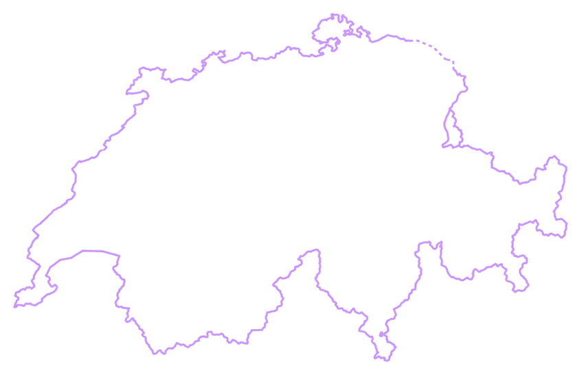
swissBOUNDARIES3D national boundaries
swissBOUNDARIES national boundaries constitute the borders of Switzerland and the principality of Liechtenstein. swissBOUNDARIES3D national boundaries is a derivate of the parent dataset swissBOUNDARIES3D.
Simple
- Alternate title
-
National boundaries
- Date (Revision)
- 2025-12-18
- Date (Publication)
- 2026-01-01
- Identifier
- ch.swisstopo.swissboundaries3d-land-flaeche.fill
Point of contact
Spatial resolution
Equivalent scale
- Denominator
- 10000
- Topic category
-
- D Boundaries
Extent
Extent
- Description
-
Switzerland
))

Extent
Extent
- Description
-
Liechtenstein
))

- Maintenance and update frequency
- Annually
- Maintenance note
-
swissBOUNDARIES3D is updated annually. Updating is based on the information of the Cadastral Surveying (CS) and the Federal Statistical Office (FSO).
- GEMET - INSPIRE themes, version 1.0
-
-
Administrative units
-
- geocat.ch
-
-
opendata.swiss
-
national border
-
- geocat.ch
-
-
FSDI Federal Spatial Data Infrastructure
-
Resource constraints
- Use constraints
- Other restrictions
- Other constraints
-
NonCommercialAllowed-CommercialAllowed-ReferenceRequired
Associated resource
- Association Type
- Reference to a master resource of which this one is a part
- Metadata Reference
Associated resource
- Title
-
Administrative boundaries (national survey)
- Association Type
- Reference to a master resource of which this one is a part
- Language
- Deutsch
- Character encoding
- UTF8
- Language
- Français
- Character encoding
- UTF8
- Language
- English
- Character encoding
- UTF8
- Basic Geodata
- true
- Basic Geodata ID
-
39.3
- Basic Geodata Legal Level
- Federal
- Included with dataset
- 0
- Title
-
swissBOUNDARIES3D Grenzen Schweizweit in 3D
- Date (Publication)
- 2026-01-01
- Distribution format
-
-
ESRI Shapefile (SHP)
-
ESRI File Geodatabase FileGDB (GDB)
-
AutoCAD DXF (DXF)
-
INTERLIS 2 (XTF)
-
OGC Geopackage (GPKG)
-
Digital transfer options
- OnLine resource
-
Vorschau map.geo.admin.ch
Preview map.geo.admin.ch
Digital transfer options
- OnLine resource
-
ch.swisstopo.swissboundaries3d-land-flaeche.fill
WMS-FSDI service, layer "National boundaries"
Digital transfer options
- OnLine resource
-
ch.swisstopo.swissboundaries3d-land-flaeche.fill
WMTS-FSDI service, layer "National boundaries"
Digital transfer options
Digital transfer options
Digital transfer options
- OnLine resource
-
map.geo.admin.ch
Digital transfer options
- OnLine resource
-
RESTful API von geo.admin.ch
RESTful API from geo.admin.ch
Digital transfer options
- OnLine resource
-
Linked Data
Digital transfer options
- OnLine resource
-
Linked Data Dienst (via SPARQL)
- Geometric object type
- Curve
- Geometric object type
- Surface
- Reference system identifier
- EPSG:2056
Metadata
- Metadata identifier
- c5bd42e6-033f-4d43-a398-320b42538798
- Language
- Deutsch
- Character encoding
- UTF8
- Language
- Français
- Character encoding
- UTF8
- Language
- Italiano
- Character encoding
- UTF8
- Language
- English
- Character encoding
- UTF8
- Language
- Rumantsch
- Character encoding
- UTF8
Point of contact
Type of resource
- Resource scope
- Dataset
- Metadata linkage
-
https://www.geocat.ch/geonetwork/srv/api/records/c5bd42e6-033f-4d43-a398-320b42538798
- Date info (Creation)
- 2011-10-20T16:09:38Z
- Date info (Revision)
- 2026-04-13T09:15:42.893187Z
Metadata standard
- Title
-
eCH-0271