geocat.ch
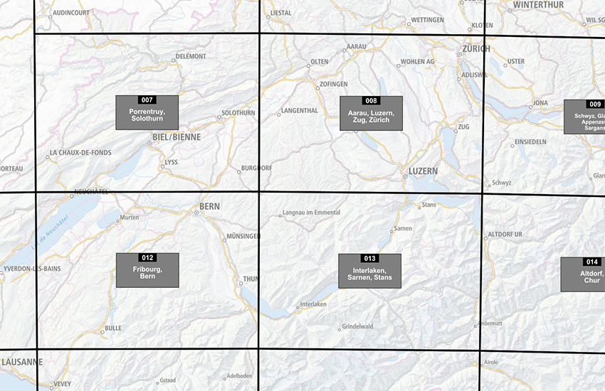
Sheet Division of the Dufour Map
The Topographical Map 1:100 000 (Dufour Map) is the first modern official map series of Switzerland. It was produced between 1845 and 1865 with revisions up to 1939. The dataset "Sheet Division of the Dufour Map" shows the perimeter, number and name of each sheet of the map 1:25 000. The sheets with protruding areas on the printed maps are shown by bigger areas than a standard map. The title sheet and the map sheets Fort de l'Ecluse, Rheineck and Bergamo have been merged with a neighbouring map sheet.
Simple
- Alternate title
-
Division Dufour Map Raster
- Date (Publication)
- 1865-12-31
- Identifier
- ch.swisstopo.hiks-dufour.metadata
Owner
Spatial resolution
Equivalent scale
- Denominator
- 25000
- Topic category
-
- A Imagery base maps earth cover
Extent
Extent
- Description
-
Switzerland
))

Extent
Extent
- Description
-
Dufour Map
- Geographic identifier
- TM
))

- Maintenance and update frequency
- Unknown
- geocat.ch
-
-
FSDI Federal Spatial Data Infrastructure
-
Resource constraints
- Use constraints
- Other restrictions
- Other constraints
-
-- URL Nutzungsbedingungen (s. Handbuch)
Resource constraints
- Use limitation
-
-- gebührenpflichtig --
Associated resource
- Association Type
- Resource is a description of associated resource
- Metadata Reference
Associated resource
- Title
-
Historical maps
- Association Type
- Reference to a master resource of which this one is a part
- Language
- Deutsch
- Character encoding
- UTF8
- Subtopic Category
- A1 Base Maps, Landscape Models
- Distribution format
-
-
ESRI Shapefile (SHP)
-
Digital transfer options
- OnLine resource
-
Vorschau map.geo.admin.ch
Preview map.geo.admin.ch
Digital transfer options
- OnLine resource
-
ch.swisstopo.hiks-dufour.metadata
WMS-FSDI service, layer "Division Dufour Map Raster"
Digital transfer options
- OnLine resource
-
Shop
Digital transfer options
- OnLine resource
-
Carte Dufour digitale
Digital transfer options
- OnLine resource
-
map.geo.admin.ch
Digital transfer options
- OnLine resource
-
RESTful API von geo.admin.ch
RESTful API from geo.admin.ch
- Geometric object type
- Surface
- Reference system identifier
- EPSG:21781
Metadata
- Metadata identifier
- bfa9994f-c8b1-4dc1-90b2-fe1211bf2d22
- Language
- Deutsch
- Character encoding
- UTF8
- Language
- Français
- Character encoding
- UTF8
- Language
- Italiano
- Character encoding
- UTF8
- Language
- English
- Character encoding
- UTF8
- Language
- Rumantsch
- Character encoding
- UTF8
Custodian
Type of resource
- Resource scope
- Dataset
- Metadata linkage
-
https://www.geocat.ch/geonetwork/srv/api/records/bfa9994f-c8b1-4dc1-90b2-fe1211bf2d22
- Date info (Creation)
- 2016-04-27T14:27:52Z
- Date info (Revision)
- 2026-06-15T07:24:01.120402Z
Metadata standard
- Title
-
eCH-0271