 geocat.ch
Hydrogeologische Berichte
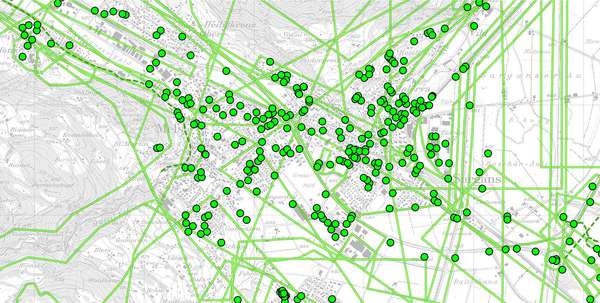
Abgrenzung von Gebieten, auf die sich Berichte des Hydrogeologischen Archivs im AWE beziehen.
Simple
- Date (Creation)
- 2014-02-03
- Date (Revision)
- 2026-06-21
- Other citation details
-
Gewässer
- Purpose
-
Grundlage (Information) für Nachführung der Grundwasserkarte und der Gewässerschutzkarte
- Status
- On going
partner
Amt für Raumentwicklung und Geoinformation - geodaten@sg.ch
Lämmlisbrunnenstrasse 54
St. Gallen
9001
CH
Homepage
- Hours of service
-
Mo. - Fr. von 8:00 - 17:00 Uhr
- Spatial representation type
- Vector
Spatial resolution
Equivalent scale
- Denominator
- 25000
Spatial resolution
- Spatial resolution
- 100 m
- Topic category
-
- I Inland waters
Extent
Extent
- Description
-
Kanton St.Gallen
N
S
E
W
))
- Maintenance and update frequency
- Annually
- GEMET
-
-
Hydrologie
-
Geologie
-
Resource constraints
- Access constraints
- Other restrictions
- Other constraints
-
B = beschränkt öffentlich
Resource constraints
- Classification
- Unclassified
- Language
- Deutsch
- Distribution format
-
-
ESRI Shapefile
-
andere Formate auf Anfrage
-
Distributor
Amt für Raumentwicklung und Geoinformation - geodaten@sg.ch
Lämmlisbrunnenstrasse 54
St. Gallen
9001
CH
Homepage
- Hours of service
-
Mo. - Fr. von 8:00 - 17:00 Uhr
Digital transfer options
- Statement
-
2011 - 2012
- Hierarchy level
- Dataset
- Reference system identifier
- CH1903+_LV95 / EPSG 2056
Metadata
- Metadata identifier
- bf3b9c65-88c6-430e-9fa2-2d42a59003f6-8371
- Language
- Deutsch
- Character encoding
- UTF8
Resource provider
Amt für Raumentwicklung und Geoinformation - geodaten@sg.ch
Lämmlisbrunnenstrasse 54
St. Gallen
9001
CH
Homepage
- Hours of service
-
Mo. - Fr. von 8:00 - 17:00 Uhr
Type of resource
- Resource scope
- Dataset
- Date info (Revision)
- 2026-06-21T01:15:46+02:00
Metadata standard
- Title
-
GM03 Core
)))
