geocat.ch
swissSURFACE3D Raster, the digital surface model of Switzerland
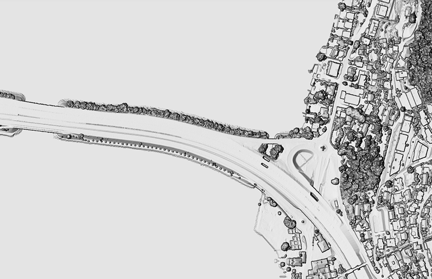
swissSURFACE3D Raster is a digital surface model (DSM) which represents the earth's surface including all stable and visible landscape elements such as soil, natural cover, woods and all sorts of constructive works. swissSURFACE3D Raster is produced in 1 km2 tiles. The tiles are numbered based on the coordinates in kilometers of their southwestern corner.
Simple
- Alternate title
-
swissSURFACE3D Raster
- Date (Creation)
- 2019-02-06
- Identifier
- ch.swisstopo.swisssurface3d-raster
Owner
- Topic category
-
- C Elevation
Extent
Extent
- Description
-
SWISSIMAGE 10 cm
- Geographic identifier
- SWISSIMAGE 10 cm
))

- Maintenance and update frequency
- Unknown
- GEMET
-
-
relief (land)
-
laser
-
vegetation
-
altitude
-
- GEMET - INSPIRE themes, version 1.0
-
-
Elevation
-
- geocat.ch
-
-
LIDAR (Light Detection And Ranging)
-
raster data
-
Airborne-Laser-Scanning
-
opendata.swiss
-
FSDI Federal Spatial Data Infrastructure
-
Resource constraints
- Use constraints
- Other restrictions
- Other constraints
- Opendata BY: Open use. Must provide the source.
Associated resource
- Association Type
- Reference to a master resource of which this one is a part
- Metadata Reference
Associated resource
- Association Type
- Reference to a master resource of which this one is a part
- Metadata Reference
Associated resource
- Association Type
- Reference to a master resource of which this one is a part
- Metadata Reference
Associated resource
- Association Type
- Reference to a master resource of which this one is a part
- Metadata Reference
- Language
- Deutsch
- Character encoding
- UTF8
- Basic Geodata
- true
- Basic Geodata ID
-
41.7
- Basic Geodata Legal Level
- Federal
- Distribution format
-
-
GeoTIFF (GEOTIFF)
-
GRID ASCII (XYZ)
-
Digital transfer options
- Number of dimensions
- 25
- Cell geometry
- Area
- Transformation parameter availability
- true
- Reference system identifier
- EPSG:2056
Metadata
- Metadata identifier
- bd4f6bf2-6622-4a16-a6c8-37326ebc9012
- Language
- Deutsch
- Character encoding
- UTF8
- Language
- Français
- Character encoding
- UTF8
- Language
- Italiano
- Character encoding
- UTF8
- Language
- English
- Character encoding
- UTF8
- Language
- Rumantsch
- Character encoding
- UTF8
Custodian
Type of resource
- Resource scope
- Dataset
- Metadata linkage
-
https://www.geocat.ch/geonetwork/srv/api/records/bd4f6bf2-6622-4a16-a6c8-37326ebc9012
- Date info (Creation)
- 2020-12-16T10:21:02Z
- Date info (Revision)
- 2026-06-15T09:17:46.927375Z
Metadata standard
- Title
-
eCH-0271