geocat.ch
Kantonale Partizipationsvorhaben
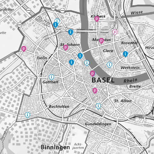
Entwicklungen im Quartier und in der Stadt haben einen direkten Einfluss auf das Lebensumfeld der Bevölkerung. Die Identifikation der Bevölkerung mit Plätzen, Einrichtungen und Angeboten in der Stadt führt zu Interesse und Anspruch der Teilhabe und Teilnahme an Entwicklungsprozessen. Gemäss § 55 der Kantonsverfassung vom 23. März 2005 und dem Partizipationsgesetz von Basel-Stadt, soll die Quartierbevölkerung von den Behörden partizipativ in die Entwicklungsprozesse einbezogen werden, welche sie besonders betreffen, in räumlicher Nähe liegen oder bedeutende Auswirkungen auf das Zusammenleben im Quartier und den öffentlichen Raum haben.
Semplice
- Data (Creazione)
- 2024-11-05T00:00:00
- Stato
- Completato
Proprietario
- Tipo di rappresentazione spaziale
- Vettoriale
- Categoria ISO
-
- M Società
Estensione
Estensione
- Descrizione
-
Cantone di Basilea Città (BS)
))

- Frequenza di aggiornamento
- Secondo necessità
- GEMET
-
-
partecipazione
-
Vincoli sulle risorse
- Altri vincoli
-
Die Geodaten sind öffentlich zugänglich. (Zugangsberechtigungsstufe [A] = öffentlich)
- Altri vincoli
-
Es gelten die Nutzungsbedingungen für Geodaten des Kantons Basel-Stadt. ( http://www.geo.bs.ch/agb)
- Lingua
- Deutsch
- Codifica dei caratteri
- UTF8
- Geodati di base
- false
- Livello legale dei geodati di base
- Cantonal
- Formato (codifica)
-
-
ESRI Shapefile (SHP)
-
INTERLIS 2 (XTF)
-
ESRI File Geodatabase FileGDB (GDB)
-
OGC Geopackage (GPKG)
-
Distributore
- Orario di servizio
-
Mo - Do: 8:00 bis 12:00, 13:30 bis 16:30, Fr: 8:00 bis 12:00, 13:30 bis 16:00
Opzioni di trasferimento digitale
- Risorsa online
-
MapBS
Öffentliches Auskunftssystem des Kantons Basel-Stadt
Opzioni di trasferimento digitale
- Risorsa online
-
Geodaten-Shop
Öffentlich zugänglicher Geodaten-Downloaddienst des Kantons Basel-Stadt
Opzioni di trasferimento digitale
- Risorsa online
-
WMS BS
Die derzeit im WMS BS verfügbaren Datenebenen entsprechen, bis auf wenige Ausnahmen, den Geodaten, welche auch in MapBS dargestellt sind. Der WMS BS ist kostenlos nutzbar und bietet Zugriff auf öffentliche sowie beschränkt öffentliche Geodaten, wobei gegebenenfalls Benutzername und Passwort benötigt werden (Zugangsdaten von MapBS).
Opzioni di trasferimento digitale
- Risorsa online
-
WFS BS
Die derzeit im WFS BS verfügbaren Datenebenen entsprechen, bis auf wenige Ausnahmen, den Geodaten, welche auch in MapBS dargestellt sind. Der WFS BS ist kostenlos nutzbar und bietet Zugriff auf öffentliche sowie beschränkt öffentliche Geodaten, wobei gegebenenfalls Benutzername und Passwort benötigt werden (Zugangsdaten von MapBS).
Opzioni di trasferimento digitale
- Risorsa online
-
Modellbeschreibung
Modellrepository
- Nome del sistema di riferimento
- CH1903+ / LV95/EPSG: 2056
Metadati
- Identificativo della scheda
- b9f6d43d-0a64-4360-ac5d-bd0fd132de3f
- Lingua
- Deutsch
- Codifica dei caratteri
- UTF8
- Lingua
- Français
- Codifica dei caratteri
- UTF8
- Lingua
- Italiano
- Codifica dei caratteri
- UTF8
- Lingua
- English
- Codifica dei caratteri
- UTF8
Custode
Tipo di risorsa
- Ambito di applicazione della risorsa
- Set di dati
- Collegamento ai metadati
-
https://www.geocat.ch/geonetwork/srv/api/records/b9f6d43d-0a64-4360-ac5d-bd0fd132de3f
- Informazioni sulla data (Creazione)
- 2024-10-15T09:31:10.109Z
- Informazioni sulla data (Revisione)
- 2026-04-13T09:18:27.575994Z
Standard dei metadati
- Titolo
-
eCH-0271