geocat.ch
Division special geological maps Vector
The Special Geological Maps (GSK) are available at scales between 1:25,000 and 1:100,000. They are defined on the basis of geographical or thematic perspectives. They provide information about regional geological conditions and highlight selected subjects. They represent an important tool for geologists, engineers, planners, public authorities, scientists and schools. Some of the sheets are not currently available.
Simple
- Alternate title
-
Division GSK Vector
- Date (Publication)
- 2011-01-01
- Identifier
- ch.swisstopo.geologie-spezialkarten_schweiz_vector.metadata
- Presentation form
- Digital map
- Status
- Completed
Distributor
Point of contact
- Spatial representation type
- Grid
- Spatial representation type
- paperMap
- Topic category
-
- F Geoscientific information
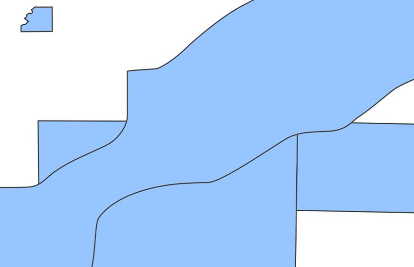
Extent
Extent
- Description
-
Switzerland
))

- Maintenance and update frequency
- Not planned
- GEMET
-
-
earth science
-
sedimentation (geology)
-
stone
-
- geocat.ch
-
-
geologic map
-
special zone
-
- geocat.ch
-
-
FSDI Federal Spatial Data Infrastructure
-
Associated resource
- Association Type
- Reference to a master resource of which this one is a part
- Metadata Reference
Associated resource
- Title
-
Geologisches Kartenwerk
- Association Type
- Reference to a master resource of which this one is a part
- Language
- Deutsch
- Character encoding
- UTF8
- Language
- Français
- Character encoding
- UTF8
- Supplemental Information
-
Einige Karten sind vergriffen.
- Subtopic Category
- F1 Geology
- Basic Geodata
- true
- Basic Geodata ID
-
46.2
- Basic Geodata Legal Level
- Federal
- Distribution format
-
-
ESRI Shapefile (SHP)
-
Digital transfer options
- OnLine resource
-
Vorschau map.geo.admin.ch
Preview map.geo.admin.ch
Digital transfer options
- OnLine resource
-
ch.swisstopo.geologie-spezialkarten_schweiz_vector.metadata
WMS-FSDI service, layer "Division special geological maps Vector"
Digital transfer options
Digital transfer options
- OnLine resource
-
-
Digital transfer options
- OnLine resource
-
RESTful API von geo.admin.ch
RESTful API from geo.admin.ch
- Statement
-
Verschiedene geologische und tektonische Karten in Massstäben zwischen 1:25'000 und 1:250'000 ergänzen den Geologischen Atlas der Schweiz und die Geokarten 1:500'000. Publiziert zwischen 1923 und 1999.
- Hierarchy level
- Dataset
- Reference system identifier
- Referenzsystem entsprechend der zugrundeliegenden topographischen Karte (CH1903)
Metadata
- Metadata identifier
- b15b89ac-d7e5-412c-bd4a-5077c935806c
- Language
- Deutsch
- Character encoding
- UTF8
- Language
- Français
- Character encoding
- UTF8
- Language
- Italiano
- Character encoding
- UTF8
- Language
- English
- Character encoding
- UTF8
- Language
- Rumantsch
- Character encoding
- UTF8
Point of contact
Type of resource
- Resource scope
- Dataset
- Metadata linkage
-
https://www.geocat.ch/geonetwork/srv/api/records/b15b89ac-d7e5-412c-bd4a-5077c935806c
- Date info (Creation)
- 2015-10-16T17:24:01Z
- Date info (Revision)
- 2026-04-13T09:25:01.891487Z
Metadata standard
- Title
-
eCH-0271