 geocat.ch
Wanderwege
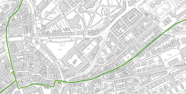
Der Geodatensatz beinhaltet sowohl die Wanderwegnetze, die in Abschnitte gleicher Attributierung unterteilt sind, als auch Routen und die Standorte der Wegweiser.
Simple
- Date (Creation)
- 2014-04-10
- Date (Revision)
- 2026-06-21
- Other citation details
-
Verkehr
- Status
- On going
partner
Amt für Raumentwicklung und Geoinformation - geodaten@sg.ch
Lämmlisbrunnenstrasse 54
St. Gallen
9001
CH
Homepage
- Hours of service
-
Mo. - Fr. von 8:00 - 17:00 Uhr
- Spatial representation type
- Vector
Spatial resolution
Equivalent scale
- Denominator
- 25000
- Topic category
-
- P Transportation
Extent
Extent
- Description
-
Kanton St.Gallen
N
S
E
W
))
- Maintenance and update frequency
- Monthly
- geocat.ch
-
-
opendata.swiss
-
Resource constraints
- Access constraints
- Other restrictions
- Other constraints
-
A = öffentlich
Resource constraints
- Classification
- Unclassified
- Language
- Deutsch
- Distribution format
-
-
ESRI Shapefile
-
DXF
-
Distributor
Amt für Raumentwicklung und Geoinformation - geodaten@sg.ch
Lämmlisbrunnenstrasse 54
St. Gallen
9001
CH
Homepage
- Hours of service
-
Mo. - Fr. von 8:00 - 17:00 Uhr
- Statement
-
Die Geometrie liegt auf der Basis von Vec25- und TLM-Daten. Wo diese nicht zur Verfügung steht, werden anhand des Übersichtsplanes 1:10'000 zusätzliche Linien digitalisiert.
- Hierarchy level
- Dataset
- Reference system identifier
- CH1903+_LV95 / EPSG 2056
Metadata
- Metadata identifier
- afd211be-ca8a-40ab-b664-52dbcb4ef444-8371
- Language
- Deutsch
- Character encoding
- UTF8
Resource provider
Amt für Raumentwicklung und Geoinformation - geodaten@sg.ch
Lämmlisbrunnenstrasse 54
St. Gallen
9001
CH
Homepage
- Hours of service
-
Mo. - Fr. von 8:00 - 17:00 Uhr
Type of resource
- Resource scope
- Dataset
- Date info (Revision)
- 2026-06-21T01:15:39+02:00
Metadata standard
- Title
-
GM03 Core
)))
