geocat.ch
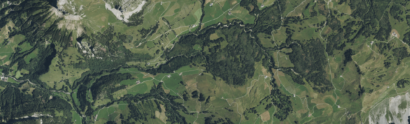
Luftbild
Luftbilder sind fotografische Abbildungen der Erdoberfläche aus der Vogelperspektive. Unter geodienste.ch werden Luftbilder (Orthofotos) als Darstellungsdienst (WMS) angeboten. Dieser eignet sich insbesondere zur Orientierung als Hintergrund in Onlinekarten. Es handelt sich um ein BETA-Angebot.
Simple
- Date (Creation)
- 2023-06-09
Resource provider
- Topic category
-
- A Imagery base maps earth cover
Extent
Extent
- Description
-
Switzerland
N
S
E
W
))

- Maintenance and update frequency
- Unknown
- geocat.ch
-
-
geodienste.ch
-
canton
-
raster data
-
orthophoto
-
geoservice
-
- GEMET
-
-
aerial photograph
-
raster
-
- Language
- Deutsch
- Character encoding
- UTF8
- Subtopic Category
- A3 Aerial and Satellite Imagery
- Basic Geodata
- false
- Basic Geodata Legal Level
- Cantonal
- Distribution format
-
-
ZIP
-
Digital transfer options
- OnLine resource
-
daten
geodienste.ch WMS Luftbild (Raster)
Digital transfer options
- OnLine resource
-
Datenbezug
Metadata
- Metadata identifier
- ab3f65c9-d44c-458a-9486-feefcf85980a
- Language
- Deutsch
- Character encoding
- UTF8
- Language
- Français
- Character encoding
- UTF8
- Language
- Italiano
- Character encoding
- UTF8
- Language
- English
- Character encoding
- UTF8
Resource provider
Type of resource
- Resource scope
- Dataset
- Metadata linkage
-
https://www.geocat.ch/geonetwork/srv/api/records/ab3f65c9-d44c-458a-9486-feefcf85980a
- Date info (Creation)
- 2025-06-12T13:34:42.623Z
- Date info (Revision)
- 2026-06-15T08:17:10.311881Z
Metadata standard
- Title
-
eCH-0271