geocat.ch
Zivilschutz
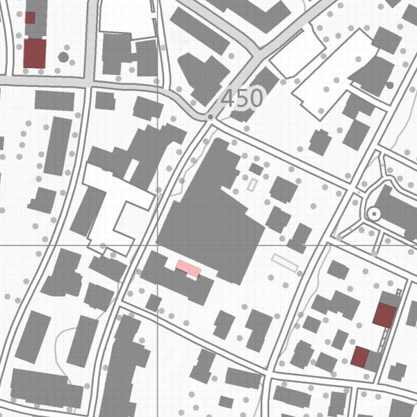
Öffentliche und Private Schutzraumbauten in Liechtenstein. Die räumlich darstellbaren Schutzbauten werden in diesem Datensatz als Invantar aufgezeigt und sind nur mit Bewilligung des Amtes für Bevölkerungsschutz (ABS) erhältlich. Die weiteren Informationen werden beim ABS verwaltet.
Simple
- Alternate title
-
Schutzraumdokumentation
- Date (Creation)
- 2011-02-03
- Identifier
- https://metadata.geo.llv.li/a95fdc76-55a7-43fa-92c9-84ac9424ad21
- Purpose
-
Information für Behörden und Private
- Status
- On going
Point of contact
- Hours of service
-
8:00-11:30 und 13:30-17:00
- Spatial representation type
- Vector
Spatial resolution
Equivalent scale
- Denominator
- 500
Spatial resolution
- Spatial resolution
- 0.1 m
- Topic category
-
- M Society
Extent
Extent
- Description
-
Liechtenstein
))

- Maintenance and update frequency
- As needed
Resource format
- Title
-
INTERLIS 1 (ITF)
- Date
- geocat.ch
-
-
geodata
-
INSPIRE
-
protection structure
-
- GEMET
-
-
civilian protection
-
- GEMET - INSPIRE themes, version 1.0
-
-
Human health and safety
-
- Räumlicher Anwendungsbereich
-
-
National
-
Resource constraints
- Access constraints
- Restricted
- Country
- LI
- Title
-
Geoinformationsgesetz
- Alternate title
-
GeoIG
- Date (Creation)
- 2010-12-15
- mco:otherCitationDetails
-
Art. 12 Abs. 1: Öffentliche Sicherheit
Resource constraints
- Use limitation
-
gebührenpflichtig
- Use constraints
- License
- Country
- LI
- Legislation Type
- Ordinance
- Legislation Level
- national
- Title
-
Verordnung über die Gebühren für die Nutzung der Geodateninfrastruktur Liechtenstein
- Alternate title
-
GDI-Gebührenverordnung (GDI-GebV)
- Date (Creation)
- 2011-08-30
- Language
- Deutsch
- Character encoding
- UTF8
- Basic Geodata
- false
- Included with dataset
- 0
- Title
-
Datenmodell Zivilschutz
- Date (Creation)
- 2011-02-07
- Website
-
--URL zum Objektkatalog --
- Distribution format
-
-
ESRI Shapefile (SHP)
-
INTERLIS 1 (ITF)
-
AutoCAD DXF (DXF)
-
Point of contact
- Hours of service
-
8:00-11:30 und 13:30-17:00
- Fees
-
Bereitstellungsgebühr CHF 60.50 pro 30 Min. sowie Nutzungsgebühr CHF 5.- pro Ebene u. angef. km2
Digital transfer options
- OnLine resource
-
Geodatenportal
Geodatenportal der Liechtensteinischen Landesverwaltung
- Hierarchy level
- Dataset
Report
Result
- Title
-
VERORDNUNG (EG) Nr. 1089/2010 DER KOMMISSION vom 23. November 2010 zur Durchführung der Richtlinie 2007/2/EG des Europäischen Parlaments und des Rates hinsichtlich der Interoperabilität von Geodatensätzen und -diensten
- Date (Publication)
- 2010-12-08
- Explanation
-
Gemäss INSPIRE Bestandteil des Themas "Versorgungswirtschaft und staatliche Dienste"
- Pass
- false
- Statement
-
Konstruktion auf der Grundlage der Amtlichen Vermessung
- Hierarchy level
- Dataset
- Topology level
- Full planar graph
- Geometric object type
- Surface
- Geometric object count
- 150
- Reference system identifier
- http://www.opengis.net/def/crs/EPSG/0/2056
- Reference system identifier
- http://www.opengis.net/def/crs/EPSG/0/4936
- Maintenance and update frequency
- As needed
Metadata
- Metadata identifier
- a95fdc76-55a7-43fa-92c9-84ac9424ad21
- Language
- Deutsch
- Character encoding
- UTF8
- Language
- Français
- Character encoding
- UTF8
- Language
- Italiano
- Character encoding
- UTF8
- Language
- English
- Character encoding
- UTF8
Point of contact
- Hours of service
-
8:00-11:30 und 13:30-17:00
Type of resource
- Resource scope
- Dataset
- Metadata linkage
-
https://www.geocat.ch/geonetwork/srv/api/records/a95fdc76-55a7-43fa-92c9-84ac9424ad21
- Date info (Creation)
- 2011-02-03T13:13:11Z
- Date info (Revision)
- 2026-05-05T12:37:26.974147Z
Metadata standard
- Title
-
eCH-0271