geocat.ch
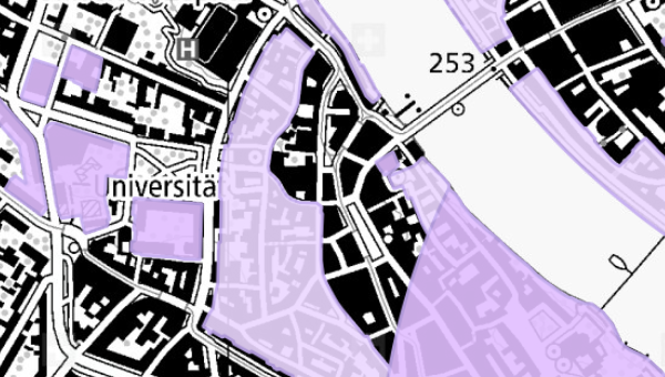
Planungszonen
Die Planungszone (Art. 27 RPG) bezeichnet ein Gebiet, in dem Nutzungspläne erlassen oder geändert werden müssen. Die Planungszone wird von einer Behörde erlassen und ist sofort mit deren Erlass rechtswirksam. In einem mit Planungszone bezeichnetem Gebiet darf nichts unternommen werden, das die (zukünftige) Nutzungsplanung präjudizieren würde. Die Daten basieren auf dem MGDM Planungszonen (ID 76.1, Version 1.1).
Simple
- Date (Creation)
- 2020-01-09
Resource provider
- Topic category
-
- E Planning cadastre
Extent
Extent
- Description
-
Switzerland
))

- Maintenance and update frequency
- Daily
- geocat.ch
-
-
geodienste.ch
-
minimum geodata model MGDM
-
official geodata
-
canton
-
- GEMET
-
-
federal law
-
physical planning
-
- Language
- Deutsch
- Character encoding
- UTF8
- Subtopic Category
- E1 Spatial Planning, Spatial Development
- Basic Geodata
- true
- Basic Geodata ID
-
76.1
- Basic Geodata Legal Level
- Federal
- Distribution format
-
-
STAC
-
OGC Web Map Service (WMS)
-
OGC Web Feature Service (WFS)
-
OGC Geopackage (GPKG)
-
ESRI Shapefile (SHP)
-
Digital transfer options
- OnLine resource
-
Dokumentation
Report on the implementation of services, data, and attributes.
Digital transfer options
- OnLine resource
-
Daten
WMS
Digital transfer options
- OnLine resource
-
Datenbezug
Data access
Digital transfer options
- OnLine resource
-
STAC
STAC
- Reference system identifier
- EPSG:2056
Metadata
- Metadata identifier
- a3eefbdc-1820-4fcb-bf97-9a4072af9180
- Language
- Deutsch
- Character encoding
- UTF8
- Language
- Français
- Character encoding
- UTF8
- Language
- Italiano
- Character encoding
- UTF8
- Language
- English
- Character encoding
- UTF8
Resource provider
Type of resource
- Resource scope
- Dataset
- Metadata linkage
-
https://www.geocat.ch/geonetwork/srv/api/records/a3eefbdc-1820-4fcb-bf97-9a4072af9180
- Date info (Creation)
- 2020-01-09T00:00:00.000Z
- Date info (Revision)
- 2026-06-20T23:06:12.65055Z
Metadata standard
- Title
-
GM03_2