geocat.ch
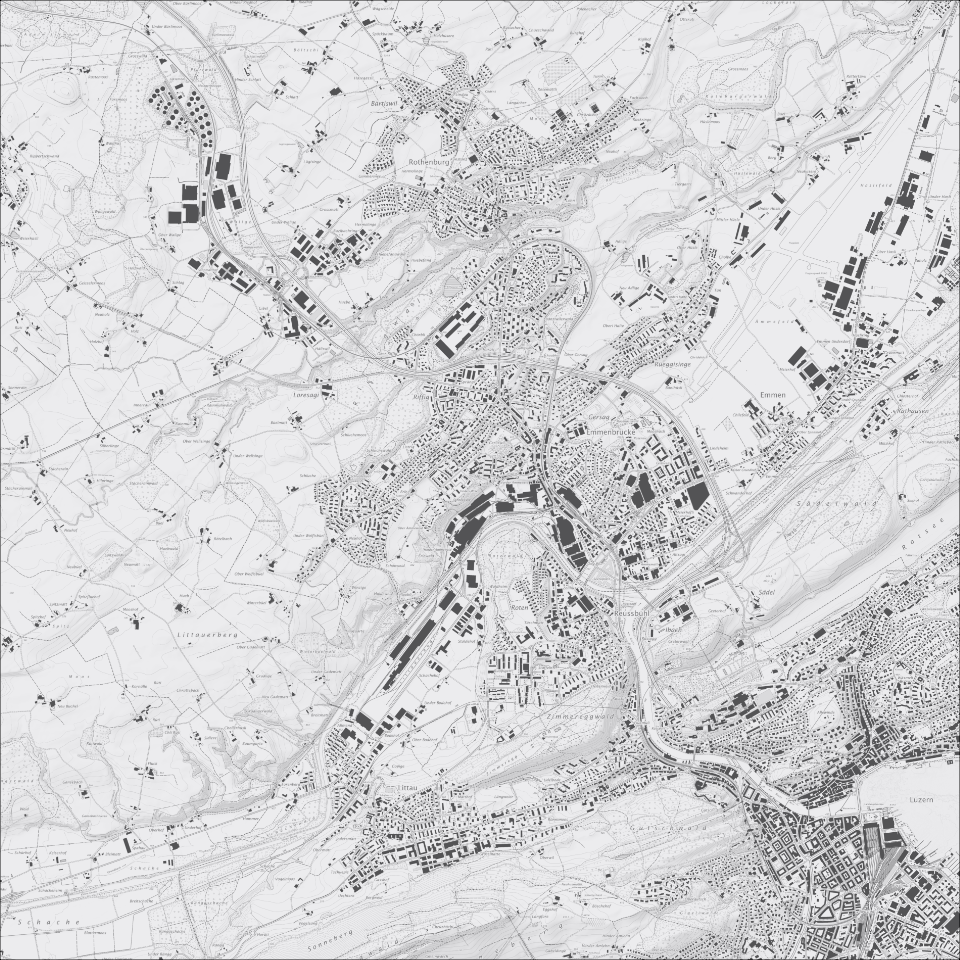
Übersichtsplan 1:10'000 (UP10), mit schattiertem Relief
Übersichtsplan 1:10'000, Graustufen, mit schattiertem Relief: geometrischer Plan im Massstab 1:10'000, der wenig generalisiert ist. Der Übersichtsplan schliesst die Lücke zwischen dem Landeskartenwerk und dem Grundbuchplan.
Simple
Identification info
- Alternate title
-
UP10RELI_DS
- Date (Creation)
- 2025-11-11
- Presentation form
- Digital map
- Purpose
-
Übersichtsplan aus Daten der Amtlichen Vermessung kombiniert mit geglättetem schattiertem Terrainmodell abgeleitet aus dem DTM-AV (2002/03). Das topographische Planwerk enthält Gebäude, Strassen und Wege, Eisenbahnen, Gewässer, Wald, Höhenlinien und -koten, Lokalnamen und weitere Informationen. Der Übersichtsplan wird für den Massstab 1:10`000 erstellt und liegt flächendeckend in digitaler Form vor.
Neben der schwarz-weissen Version wird vom Übersichtsplan auch eine farbige Version erstellt. Damit eignet er sich einerseits für die Überlagerung mit thematischen Plänen (wie zum Beispiel dem Zonenplan), andererseits auch als eigenständige topografische Karte. Die Aktualisierung erfolgt automatisiert, anhand der Daten der amtlichen Vermessung und Zusatzdaten.
- Status
- On going
Point of contact
Responsible party
- Organisation name
-
Kanton Luzern, Abteilung Geoinformation
- Voice
-
041 228 51 83
Address
- City
-
Luzern
- Postal code
-
6002
- Country
-
CH
- Electronic mail address
- Streetname
-
Murbacherstrasse
- Streetnumber
-
21
- Website
- https://geoportal.lu.ch/ ( https )
- Role
- Publisher
Point of contact
Responsible party
- Organisation name
-
Dienststelle Raum und Wirtschaft (rawi)
- Voice
-
041 228 51 83
Address
- City
-
Luzern
- Postal code
-
6002
- Country
-
CH
- Electronic mail address
- Streetname
-
Murbacherstrasse
- Streetnumber
-
21
- Website
- https://geoportal.lu.ch ( https )
- Role
- Owner
- Last Name
-
Dienststelle Raum und Wirtschaft (rawi)
- Organisation Acronym
-
rawi
- Maintenance and update frequency
- Biannually
-
geocat.ch
-
-
opendata.swiss
-
Amtliche Vermessung/AV
-
Basiskarte
-
Geländemodell
-
Referenzsystem
-
Topographie
-
Kartenwerk
-
- Access constraints
- none
- Use constraints
- Copyright
- Use limitation
-
öffentlich zugängliche Geobasisdaten
- Access constraints
- none
- Use constraints
- none
- Use limitation
-
Freie Nutzung. Quellenangabe ist Pflicht
- Aggregate Datasetindentifier
- f39e3c03-a4b6-4d2c-8435-c3fe7426360f
- Association Type
- Larger work citation
- Spatial representation type
- Grid
- Denominator
- 10000
- Language
- Deutsch
- Character set
- UTF8
- Topic category
-
- A Base Maps, Land Cover, Aerial and Satellite Imagery
- A1 Base Maps, Landscape Models
- Description
-
Kanton Luzern
))
- Distribution format
-
-
Tagged Image File Format (.tif)
(
6.0
)
-
Tagged Image File Format (.tif)
(
6.0
)
Distributor contact
Responsible party
- Organisation name
-
Dienststelle Raum und Wirtschaft (rawi)
- Voice
-
041 228 51 83
Address
- City
-
Luzern
- Postal code
-
6002
- Country
-
CH
- Electronic mail address
- Streetname
-
Murbacherstrasse
- Streetnumber
-
21
- Website
- https://geoportal.lu.ch ( https )
- Role
- Point of contact
- First Name
-
Geodaten
- Last Name
-
Kanton Luzern
- Organisation Acronym
-
rawi
- OnLine resource
-
Datenshop
(
https
)
Produktansicht Geodatenshop
- Hierarchy level
- Dataset
- Statement
-
Abgeleitet von: DTM-AV, ÜP
- Statement
-
Grundlagen: DTM 2002, UP10
- Reference system identifier
- CH1903+
Content Information
Metadata
- Metadata language
- Deutsch
- Character set
- UTF8
- Hierarchy level
- Dataset
- Date stamp
- 2025-11-22
- Metadata standard name
-
GM03 2+
Metadata author
Responsible party
- Organisation name
-
Dienststelle Raum und Wirtschaft (rawi)
- Voice
-
041 228 51 83
Address
- City
-
Luzern
- Postal code
-
6002
- Country
-
CH
- Electronic mail address
- Streetname
-
Murbacherstrasse
- Streetnumber
-
21
- Website
- https://geoportal.lu.ch ( https )
- Role
- Point of contact
- First Name
-
Dilara
- Last Name
-
Bingül
- Organisation Acronym
-
rawi
- Maintenance and update frequency
- As needed