geocat.ch
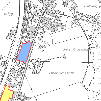
Baulandkataster (Wolfenschiessen, NW)
Der Geodatensatz umfasst das Baulandkataster der Gemeinden Emmetten, Hergiswil, Stansstad und Wolfenschiessen. Das Bauland wird wie folgt unterteilt: Wohnzonen, Arbeitszonen, Mischzonen, Zentrumszonen, Zonen für öffentliche Nutzungen, eingeschränkte Bauzonen, Tourismus und Freizeit, Verkehrszonen und weitere Zonen nach Art. 18 RPG.
Simple
- Date (Creation)
- 2012-10-12
- Status
- On going
Owner
- Spatial representation type
- Vector
- Topic category
-
- E Planning cadastre
Extent
Extent
- Description
-
Wolfenschiessen
N
S
E
W
))

- Maintenance and update frequency
- As needed
- GEMET
-
-
building area
-
building land
-
development area
-
building site preparation
-
municipality
-
planning
-
physical planning
-
human settlement
-
settlement concentration
-
- geocat.ch
-
-
local planning
-
Resource constraints
- Access constraints
- Other restrictions
- Use constraints
- Other restrictions
- Other constraints
- Die Geodaten sind öffentlich zugänglich (Zugangsberechtigungsstufe A gemäss GeoIV Art. 21).
- Language
- Deutsch
- Character encoding
- UTF8
- Environment description
-
WebEdit
- Subtopic Category
- E1 Spatial Planning, Spatial Development
- Basic Geodata
- false
- Distribution format
-
-
andere Formate auf Anfrage
-
Distributor
Digital transfer options
- OnLine resource
-
Webkarte Baulandkataster
Identifier
- Code
- 2056
Metadata
- Metadata identifier
- D6682485-5F62-4DAE-96B8-FBBD8A11907B
- Language
- Deutsch
- Character encoding
- UTF8
- Language
- Français
- Character encoding
- UTF8
- Language
- English
- Character encoding
- UTF8
- Language
- Italiano
- Character encoding
- UTF8
Custodian
Type of resource
- Resource scope
- Dataset
- Date info (Revision)
- 2026-05-12T10:10:46.000Z
Metadata standard
- Title
-
GM03_2