geocat.ch
Baukoordination (OW)
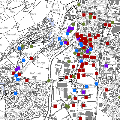
Der Geobasisdatensatz umfasst die Baukoordination vom Kanton Obwalden. Die Karte Baukoordination beinhaltet eine Auswertung (Flächenverschnitt) verschiedenster für die Beurteilung eines Baugesuches relevanten Themen wie Nutzungsplanung, Schutzzonen, Gewässer, Naturgefahren, etc. Das Ergebnis zeigt Nutzungsanteile einer beliebigen Liegenschaft oder Teilen davon.
Simple
- Date (Creation)
- 2009-07-23
- Date (Revision)
- 2024-02-15
- Status
- On going
Owner
Kanton Obwalden, Bau- und Raumentwicklungsdepartement (BRD) - Kanton Obwalden, Bau- und Raumentwicklungsdepartement (BRD)
Flüelistrasse 3
Sarnen
6061
Webseite Bau- und Raumentwicklungsdepartement
- Hours of service
-
MO-FR 08.00-11.45 Uhr, 13.30-17.00 Uhr
- Spatial representation type
- Vector
- Topic category
-
- E Planning cadastre
Extent
Extent
- Description
-
Canton of Obwalden (OW)
N
S
E
W
))

- Maintenance and update frequency
- Weekly
- GEMET
-
-
building planning
-
building site
-
management
-
planning
-
- geocat.ch
-
-
construction
-
coordination
-
construction permit
-
Resource constraints
- Access constraints
- Other restrictions
- Use constraints
- Other restrictions
- Other constraints
- Die Geodaten sind öffentlich zugänglich (Zugangsberechtigungsstufe A gemäss GeoIV Art. 21).
- Language
- Deutsch
- Character encoding
- UTF8
- Environment description
-
Abgeleitetes Produkt
- Subtopic Category
- E1 Spatial Planning, Spatial Development
- Basic Geodata
- false
- Distribution format
-
-
andere Formate auf Anfrage
-
Distributor
Digital transfer options
- OnLine resource
-
Webkarte Baukoordination
Identifier
- Code
- 2056
Metadata
- Metadata identifier
- D4E7DCE2-86C7-4A8C-9FD2-55DDDD67B7F1
- Language
- Deutsch
- Character encoding
- UTF8
- Language
- Français
- Character encoding
- UTF8
- Language
- English
- Character encoding
- UTF8
- Language
- Italiano
- Character encoding
- UTF8
Custodian
Type of resource
- Resource scope
- Dataset
- Date info (Revision)
- 2026-05-12T13:10:54.000Z
Metadata standard
- Title
-
GM03_2