geocat.ch
Verkehrsrichtplan kommunal (Dallenwil, NW)
Der Geobasisdatensatz umfasst der kommunale Verkehrsrichtplan, teilweise mit den Velowegnetze und den Langsamverkehr.
Simple
- Date (Creation)
- 2000-01-01
- Date (Revision)
- 2024-09-25
- Identifier
- da_richtplan
- Status
- On going
Owner
Das Amt für Raumentwicklung (ARE NW) sorgt für die haushälterische Nutzung des Bodens und die geordnete Besiedlung des Kantons unter Wahrung der natürlichen Lebensgrundlagen. Es koordiniert die Zusammenarbeit bei der Erfüllung raumwirksamer Aufgaben und sorgt für den Interessenausgleich bei räumlichen Nutzungskonflikten.
- Spatial representation type
- Vector
- Topic category
-
- E Planning cadastre
- P Transportation
Extent
Extent
- Description
-
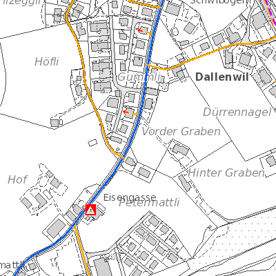
Dallenwil
))

- Maintenance and update frequency
- As needed
- GEMET
-
-
land management and planning
-
physical planning
-
traffic
-
- geocat.ch
-
-
structure plan
-
traffic network
-
Resource constraints
- Access constraints
- Other restrictions
- Use constraints
- Other restrictions
- Other constraints
- Die Geodaten sind öffentlich zugänglich (Zugangsberechtigungsstufe A gemäss GeoIV Art. 21).
- Language
- Deutsch
- Character encoding
- UTF8
- Environment description
-
Adalin
- Subtopic Category
- E1 Spatial Planning, Spatial Development
- Basic Geodata
- true
- Basic Geodata ID
-
36-NW>A.1
- Basic Geodata Legal Level
- Kanton
- Distribution format
-
-
INTERLIS
-
andere Formate auf Anfrage
-
Distributor
Digital transfer options
- OnLine resource
-
Geoshop NW
Datenbezug
Digital transfer options
- OnLine resource
-
Webkarte Verkehrsrichtplan
Digital transfer options
- OnLine resource
-
ch.nw.richtplaene-kommunal
WMS-Dienst Kanton Nidwalden
Digital transfer options
- OnLine resource
-
Geobasisdatenkatalog
Identifier
- Code
- 2056
Metadata
- Metadata identifier
- CD94A7E7-AD19-4B89-BBC3-7224D7B1B1DE
- Language
- Deutsch
- Character encoding
- UTF8
- Language
- Français
- Character encoding
- UTF8
- Language
- English
- Character encoding
- UTF8
- Language
- Italiano
- Character encoding
- UTF8
Custodian
Type of resource
- Resource scope
- Dataset
- Date info (Revision)
- 2026-05-12T10:10:46.000Z
Metadata standard
- Title
-
GM03_2