geocat.ch
Safety zone plan V2.0 PLR
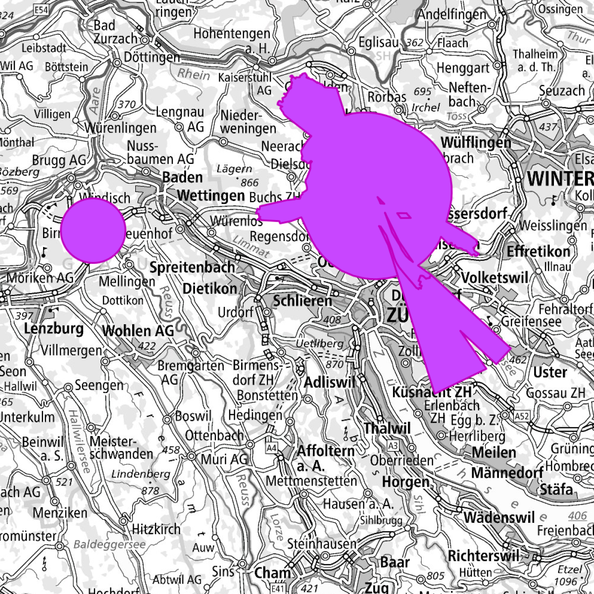
For each airport, a security zone is to be established, which protects the airspace from obstacles. The FOCA will decide in each case whether a safety zone is necessary for air navigation equipment and flight paths. Authoritative for the establishment of safety zones is the cadastre of obstacle limitation surfaces. The safety zones are represented in a zone map, where the restrictions of property rights on area and height are shown. The approved security zone plans are binding upon publication in the cantonal publications and constitute a public property restriction.
Simple
- Alternate title
-
Safety zone plan V2.0 PLR
- Date (Creation)
- 2013-11-18
- Date (Publication)
- 2023-08-15
- Identifier
- ch.bazl.sicherheitszonenplan_v2_0.oereb
- Purpose
-
ÖREB-Daten gemäss Transferstruktur
- Status
- On going
Owner
- Spatial representation type
- Vector
Spatial resolution
Equivalent scale
- Denominator
- 1000
Spatial resolution
Equivalent scale
- Denominator
- 100000
- Topic category
-
- E Planning cadastre
Extent
Extent
- Description
-
Switzerland
))

- Maintenance and update frequency
- Unknown
- geocat.ch
-
-
OeREB
-
zoning plan
-
airfield
-
air navigation obstacle
-
air navigation
-
opendata.swiss
-
- GEMET
-
-
airport
-
air traffic
-
safety
-
civil air traffic
-
- geocat.ch
-
-
FSDI Federal Spatial Data Infrastructure
-
Resource constraints
- Use constraints
- Other restrictions
- Other constraints
- Opendata BY: Open use. Must provide the source.
- Other constraints
-
https://data.geo.admin.ch/ch.bazl.sicherheitszonenplan_v2_0.oereb/Rechtsvorschriften/108-INFO-D.pdf
- Other constraints
- Language
- Deutsch
- Character encoding
- UTF8
- Language
- Français
- Character encoding
- UTF8
- Language
- Italiano
- Character encoding
- UTF8
- Subtopic Category
- E1 Spatial Planning, Spatial Development
- Distribution format
-
-
INTERLIS 2 (XTF)
-
andere Formate auf Anfrage
-
Digital transfer options
Digital transfer options
Digital transfer options
Digital transfer options
Digital transfer options
- OnLine resource
-
ch.bazl.sicherheitszonenplan_v2_0.oereb
Link to Feature Service
Digital transfer options
- OnLine resource
-
ch.bazl.sicherheitszonenplan_v2_0.oereb
Link to WMS
- Geometric object type
- Surface
- Reference system identifier
- EPSG:2056
Metadata
- Metadata identifier
- 993bd105-3c7a-41ad-9470-9cf7faee0466
- Language
- Deutsch
- Character encoding
- UTF8
- Language
- Français
- Character encoding
- UTF8
- Language
- Italiano
- Character encoding
- UTF8
- Language
- English
- Character encoding
- UTF8
- Language
- Rumantsch
- Character encoding
- UTF8
Point of contact
Type of resource
- Resource scope
- Dataset
- Metadata linkage
-
https://www.geocat.ch/geonetwork/srv/api/records/993bd105-3c7a-41ad-9470-9cf7faee0466
- Date info (Creation)
- 2021-10-19T12:56:12Z
- Date info (Revision)
- 2026-04-13T09:37:28.232321Z
Metadata standard
- Title
-
eCH-0271