geocat.ch
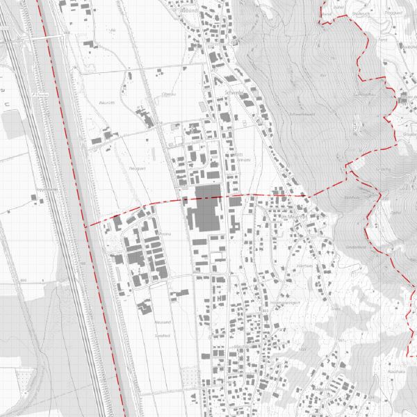
INSPIRE dataset Administrative Units
INSPIRE dataset Administrative Units. The dataset was created from the data of the official cadastral survey, Topic Sovereign Boundaries and brought into the INSPIRE structure
Simple
- Alternate title
-
INSPIRE compliant administrative boundaries dataset
- Date (Publication)
- 2013-11-13
- Identifier
- https://metadata.geo.llv.li/964fe1c4-f708-4f5b-b628-26b656adb9eb
- Purpose
-
Implementation of INSPIRE
- Status
- On going
Point of contact
- Hours of service
-
8:00-11:30 und 13:30-17:00
- Spatial representation type
- Vector
Spatial resolution
Equivalent scale
- Denominator
- 500
- Topic category
-
- D Boundaries
Extent
Extent
- Description
-
Liechtenstein
))

- Maintenance and update frequency
- As needed
- GEMET
-
-
administration
-
- geocat.ch
-
-
sovereign border
-
INSPIRE
-
- GEMET - INSPIRE themes, version 1.0
-
-
Administrative units
-
- Räumlicher Anwendungsbereich
-
-
National
-
Resource constraints
- Access constraints
- Other restrictions
- Other constraints
- no limitations to public access
- Country
- LI
- Legislation Type
- Ordinance
- Legislation Level
- national
- Title
-
Verordnung vom 30. August 2011 über die Gebühren für die Nutzung der Geodateninfrastruktur Liechtenstein
- Date (Creation)
- 2011-08-30
Resource constraints
- Use limitation
-
Zugangs- und Nutzungsbedingungen
- Use constraints
- Other restrictions
- Other constraints
-
gebührenpflichtig
Resource constraints
- Use constraints
- Other restrictions
- Other constraints
-
no restrictions apply
- Language
- Deutsch
- Character encoding
- UTF8
- Distribution format
-
-
ESRI Shapefile (SHP)
-
Geographic Markup Language (GML)
-
Administrative units GML application schema
-
Distributor
- Hours of service
-
8:00-11:30 und 13:30-17:00
Digital transfer options
- OnLine resource
-
Geodatenportal der Liechtensteinische Landesverwaltung
Geodatenportal
Digital transfer options
- OnLine resource
-
Homepage ATG, Datenausgabestelle
Datenausgabestelle der Liechteinsteinischen Landesverwaltung
Digital transfer options
- OnLine resource
-
AU
INSPIRE View Service
Digital transfer options
- OnLine resource
-
INSPIRE Download Service (ATOM)
GML Download
- Hierarchy level
- Dataset
- Other
-
Alle Ebenen
Report
Result
- Title
-
Commission Regulation (EU) No 1089/2010 of 23 November 2010 implementing Directive 2007/2/EC of the European Parliament and of the Council as regards interoperability of spatial data sets and services
- Date (Publication)
- 2010-12-18
- Explanation
-
INSPIRE Konformität
- Pass
- true
- Statement
-
Die Daten werden im Rahmen der Amtlichen Vermessung erholgen und permanenten nachgefeführt
- Hierarchy level
- Dataset
- Other
-
Alle Ebenen
- Topology level
- Full planar graph
- Geometric object type
- Surface
- Geometric object count
- 21
- Reference system identifier
- http://www.opengis.net/def/crs/EPSG/0/2056
- Reference system identifier
- http://www.opengis.net/def/crs/EPSG/0/4258
- Maintenance and update frequency
- As needed
Metadata
- Metadata identifier
- 964fe1c4-f708-4f5b-b628-26b656adb9eb
- Language
- Deutsch
- Character encoding
- UTF8
- Language
- Français
- Character encoding
- UTF8
- Language
- Italiano
- Character encoding
- UTF8
- Language
- English
- Character encoding
- UTF8
- Language
- Rumantsch
- Character encoding
- UTF8
Point of contact
- Hours of service
-
8:00-11:30 und 13:30-17:00
Type of resource
- Resource scope
- Dataset
- Metadata linkage
-
https://www.geocat.ch/geonetwork/srv/api/records/964fe1c4-f708-4f5b-b628-26b656adb9eb
- Date info (Creation)
- 2015-09-02T15:48:19Z
- Date info (Revision)
- 2026-04-13T09:36:29.611181Z
Metadata standard
- Title
-
eCH-0271