geocat.ch
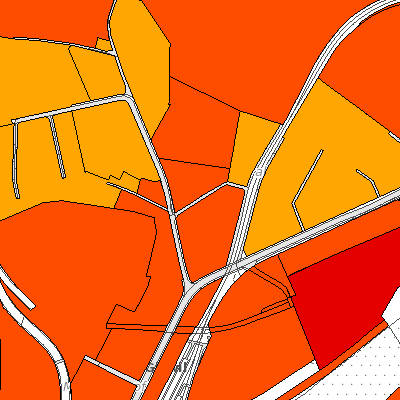
Lärmempfindlichkeitsstufen (Giswil, OW)
Der Geobasisdatensatz enthält die Lärmempfindlichkeitsstufen (in Nutzungszonen) im minimalen Datenmodell des Bundes.
Simple
- Date (Creation)
- 2010-01-01
- Date (Revision)
- 2025-08-30
- Identifier
- gi_laermempfindlichkeitsstufen
- Status
- On going
Owner
- Hours of service
-
Montag bis Donnerstag: Vormittag von 08.00 - 11.30 Uhr Nachmittag von 13.30 - 17.00 Uhr Freitag und vor allgemeinen Feiertagen: Vormittags von 08.00 - 11.30 Uhr Nachmittag von 13.30 - 16.30 Uhr
- Contact instructions
-
Termine im Bauamt sind nur auf telefonischer Voranmeldung möglich.
- Spatial representation type
- Vector
- Topic category
-
- E Planning cadastre
Extent
Extent
- Description
-
Giswil
))

- Maintenance and update frequency
- Continual
- GEMET
-
-
noise
-
noise pollution
-
noise measurement
-
noise level
-
noise protection
-
noise effect
-
- geocat.ch
-
-
noise sensitivity level
-
Resource constraints
- Access constraints
- Other restrictions
- Use constraints
- Other restrictions
- Other constraints
- Die Geodaten sind öffentlich zugänglich (Zugangsberechtigungsstufe A gemäss GeoIV Art. 21).
- Language
- Deutsch
- Character encoding
- UTF8
- Environment description
-
Adalin
- Subtopic Category
- E1 Spatial Planning, Spatial Development
- Basic Geodata
- true
- Basic Geodata ID
-
145.1
- Basic Geodata Legal Level
- Bund
- Distribution format
-
-
INTERLIS
-
andere Formate auf Anfrage
-
Distributor
Digital transfer options
- OnLine resource
-
Geoshop OW
Datenbezug
Digital transfer options
- OnLine resource
-
laermempfindlichkeitsstufen
WMS-Dienst geodienste.ch
Digital transfer options
- OnLine resource
-
Geodienste.ch
Datenbezug
Digital transfer options
- OnLine resource
-
ch.ow.laermempfindlichkeitsstufen
WMS-Dienst Kanton Obwalden
Digital transfer options
- OnLine resource
-
Geobasisdatenkatalog
Digital transfer options
- OnLine resource
-
Webkarte Nutzungsplanung
Identifier
- Code
- 2056
Metadata
- Metadata identifier
- 9474178B-6AB6-4B8C-9EA5-0D4A777C98B8
- Language
- Deutsch
- Character encoding
- UTF8
- Language
- Français
- Character encoding
- UTF8
- Language
- English
- Character encoding
- UTF8
- Language
- Italiano
- Character encoding
- UTF8
Custodian
Type of resource
- Resource scope
- Dataset
- Date info (Revision)
- 2026-05-12T13:10:54.000Z
Metadata standard
- Title
-
GM03_2