geocat.ch
Confini amministrativi generalizzati G1
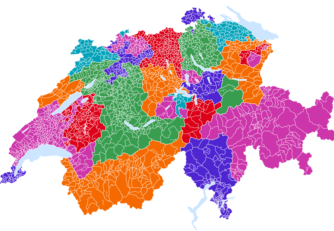
Der Datensatz „Generalisierte administrative Grenzen G1“ des Bundesamtes für Statistik bietet vereinfachte Geometrien für alle administrativen Einheiten der Schweiz seit 1850 und wird jährlich aktualisiert. Dieser Datensatz eignet sich für die Erstellung einer Vielzahl von kleinmassstäblichen thematischen Karten (ca.1:250’000 to 1:500’000), mit denen statistische Daten für Gemeinden, Bezirke und Kantone visualisiert werden können. Geographische Attribute wie Fläche und Höhe ergänzen den Datensatz.
Semplice
- Altri nomi o acronimi
-
Confini G1 dal 1850
- Data (Creazione)
- 2025-02-14T20:30:00
- Identificatore
- ch.bfs.generalisierte_administrative_grenzen_g1
- Scopo
-
Réalisation de cartes thématiques de la Suisse et/ou de la Principauté du Liechtenstein à petite échelle.
- Stato
- In corso
Punto di contatto
- Tipo di rappresentazione spaziale
- Vettoriale
- Categoria ISO
-
- D Confini
Estensione
Estensione
- Descrizione
-
Svizzera
))

- Frequenza di aggiornamento
- Annualmente
- Durata di conservazione
- 100
- Valutazione del valore archivistico
- A
- Motivo del valore archivistico
- Evoluzione/svolgimento
Formato della risorsa
- Titolo
-
ESRI Shapefile (SHP)
- Data
Formato della risorsa
- Titolo
-
OGC Geopackage (GPKG)
- Data
Formato della risorsa
- Titolo
-
GeoJSON (GEOJSON)
- Data
- geocat.ch
-
-
opendata.swiss
-
IFDG Infrastruttura federale dei dati geografici
-
generalizzazione cartografica
-
confine politico
-
distretto
-
cantone
-
- GEMET
-
-
comune
-
lago
-
confine amministrativo
-
confine sub-nazionale
-
confine nazionale
-
Vincoli sulle risorse
- Vincoli di accesso
- Diritti di proprietà intellettuale
- Vincoli d'uso
- Altre restrizioni
Risorsa associata
- Tipo di associazione
- Citazione di un'opera più ampia
- Riferimento metadati
- Lingua
- Deutsch
- Codifica dei caratteri
- UTF8
- Lingua
- Français
- Codifica dei caratteri
- UTF8
- Descrizione dell'ambiente di lavoro
-
ESRI ArcGIS
- Formato (codifica)
-
-
ESRI Shapefile (SHP)
-
GeoJSON (GEOJSON)
-
OGC Geopackage (GPKG)
-
Opzioni di trasferimento digitale
- Risorsa online
-
GEOSTAT
GEOSTAT ist das BFS-Kompetenzzentrum für Geoinformation und digitale Bildverarbeitung.
Opzioni di trasferimento digitale
- Risorsa online
-
Variablenliste
Opzioni di trasferimento digitale
- Risorsa online
-
Geodaten
Download von Geodaten der generalisierten adminstrativen Grenzen G1 der Schweiz seit 1850
Opzioni di trasferimento digitale
- Risorsa online
-
Datenbeschreibung
Geodatenbeschreibung der historisierten generalisierten adminstrativen Grenzen der Schweiz
- Nome del sistema di riferimento
- EPSG: 2056 | EPSG: 4326
- Frequenza di aggiornamento
- Annualmente
Metadati
- Identificativo della scheda
- 8bf05e6c-72d6-40c0-a3c0-3641bf260a81
- Lingua
- Deutsch
- Codifica dei caratteri
- UTF8
- Lingua
- Français
- Codifica dei caratteri
- UTF8
- Lingua
- Italiano
- Codifica dei caratteri
- UTF8
- Lingua
- English
- Codifica dei caratteri
- UTF8
- Lingua
- Rumantsch
- Codifica dei caratteri
- UTF8
Punto di contatto
Tipo di risorsa
- Ambito di applicazione della risorsa
- Set di dati
- Collegamento ai metadati
-
https://www.geocat.ch/geonetwork/srv/api/records/8bf05e6c-72d6-40c0-a3c0-3641bf260a81
- Informazioni sulla data (Creazione)
- 2023-11-02T14:53:26.952Z
- Informazioni sulla data (Revisione)
- 2026-06-08T06:22:43.211913Z
Standard dei metadati
- Titolo
-
eCH-0271