geocat.ch
Educational attainment
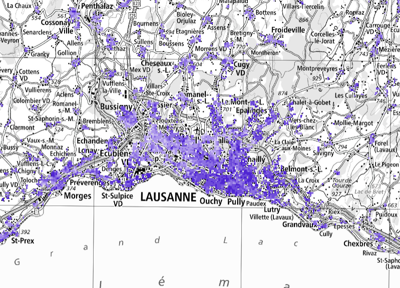
The “Educational attainment – Geodata” product provides detailed information on the highest level of education completed by the permanent resident population aged 25 to 64 across Switzerland. This data is based on several statistical surveys conducted by the federal administration and is supplemented by a two-stage imputation model that estimates missing data. The level of education is reported according to a three-stage nomenclature: compulsory schooling, secondary level II, and tertiary level. Data is available for the reference years 1990 and 2000, as well as for each year from 2017 onwards. It is provided for all of Switzerland at three spatial resolutions: hectares (100 x 100 m grid), first-level spatial statistical units (USPAT1 regions), and municipalities.
Simple
- Date (Publication)
- 2025-09-23T08:30:00+02:00
- Identifier
- ch.bfs.bildungsstand
- Status
- On going
Point of contact
Spatial resolution
- Spatial resolution
- 100 m
- Topic category
-
- M Society
Extent
Extent
- Description
-
Switzerland
))

- Maintenance and update frequency
- Annually
- Duration of Conservation
- 100
- Appraisal of Archival Value
- A
Resource format
- Title
-
TEXT, semicolon separated (CSV)
- Date
Resource format
- Title
-
OGC Geopackage (GPKG)
- Date
- geocat.ch
-
-
opendata.swiss
-
Resource specific usage
- Specific usage
-
Kommerzielle Verwendung nur mit separater Vereinbarung
Resource specific usage
- Specific usage
-
Kommerzielle Verwendung nur mit separater Vereinbarung
Resource constraints
- Use constraints
- Other restrictions
- Language
- Deutsch
- Character encoding
- UTF8
- Basic Geodata
- false
- Basic Geodata Legal Level
- Other
- Distribution format
-
-
TEXT, semicolon separated (CSV)
-
OGC Geopackage (GPKG)
-
Digital transfer options
- OnLine resource
-
Thematische Informationen, Visualisierungen
Digital transfer options
- OnLine resource
-
Datenbeschreibung
Digital transfer options
- OnLine resource
-
Geodata (CSV, GeoPackage)
Digital transfer options
- OnLine resource
-
GEOSTAT
GEOSTAT ist das BFS-Kompetenzzentrum für Geoinformation und digitale Bildverarbeitung.
Digital transfer options
- OnLine resource
-
Variablenliste
Digital transfer options
- OnLine resource
-
-- z. B. Link zu Fachportal, "-" in URL und Beschreibung einfügen falls nicht vorhanden --
- Geometric object type
- Surface
- Reference system identifier
- EPSG:2056
Metadata
- Metadata identifier
- 83a05456-9a08-44f0-8311-f85ca73e1604
- Language
- Deutsch
- Character encoding
- UTF8
- Language
- Français
- Character encoding
- UTF8
- Language
- Italiano
- Character encoding
- UTF8
- Language
- English
- Character encoding
- UTF8
- Language
- Rumantsch
- Character encoding
- UTF8
Custodian
Type of resource
- Resource scope
- Dataset
- Metadata linkage
-
https://www.geocat.ch/geonetwork/srv/api/records/83a05456-9a08-44f0-8311-f85ca73e1604
- Date info (Creation)
- 2025-09-05T08:50:25.889Z
- Date info (Revision)
- 2026-06-15T08:56:04.088557Z
Metadata standard
- Title
-
eCH-0271