geocat.ch
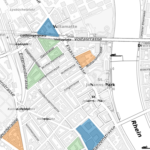
Historische Bruttogeschossfläche auf Blockbasis
Weist die Bruttogeschossfläche auf Blockbasis der Jahre 1995, 2005, 2010 und 2015 aus.
Simple
- Date (Creation)
- 1980-01-01
- Date (Revision)
- 2026-03-10
- Purpose
-
Grundlagen für Nutzungsplanung und Konzepte.
- Status
- Completed
Owner
- Spatial representation type
- Vector
- Topic category
-
- A Imagery base maps earth cover
Extent
Extent
- Description
-
Canton of Basel-Stadt (BS)
))

- Maintenance and update frequency
- Not planned
- geocat.ch
-
-
floor
-
- geocat.ch
-
-
floor
-
- GEMET
-
-
dwelling
-
Resource constraints
- Other constraints
-
Die Geodaten sind öffentlich zugänglich. (Zugangsberechtigungsstufe [A] = öffentlich)
- Other constraints
-
Es gelten die Nutzungsbedingungen für Geodaten des Kantons Basel-Stadt. ( http://www.geo.bs.ch/agb)
Associated resource
- Title
-
Historische Bruttogeschossfläche auf Blockbasis
- Association Type
- Reference to a master resource of which this one is a part
- Language
- Deutsch
- Character encoding
- UTF8
- Subtopic Category
- A1 Base Maps, Landscape Models
- Subtopic Category
- A2 Land Cover, Land Use
- Distribution format
-
-
TEXT, comma separated (CSV)
-
FlatGeobuf
-
GeoJSON (GEOJSON)
-
ESRI Shapefile (SHP)
-
OGC Geopackage (GPKG)
-
ESRI File Geodatabase FileGDB (GDB)
-
Digital transfer options
- OnLine resource
-
MapBS
Öffentliches Auskunftssystem des Kantons Basel-Stadt
Digital transfer options
- OnLine resource
-
WMS BS
Die derzeit im WMS BS verfügbaren Datenebenen entsprechen, bis auf wenige Ausnahmen, den Geodaten, welche auch in MapBS dargestellt sind. Der WMS BS ist kostenlos nutzbar und bietet Zugriff auf öffentliche sowie beschränkt öffentliche Geodaten, wobei gegebenenfalls Benutzername und Passwort benötigt werden (Zugangsdaten von MapBS).
Digital transfer options
- OnLine resource
-
WFS BS
Die derzeit im WFS BS verfügbaren Datenebenen entsprechen, bis auf wenige Ausnahmen, den Geodaten, welche auch in MapBS dargestellt sind. Der WFS BS ist kostenlos nutzbar und bietet Zugriff auf öffentliche sowie beschränkt öffentliche Geodaten, wobei gegebenenfalls Benutzername und Passwort benötigt werden (Zugangsdaten von MapBS).
- Reference system identifier
- CH1903+ / LV95/EPSG: 2056
Metadata
- Metadata identifier
- 7fc11716-c1a8-4474-80d7-543c4fe2453a
- Language
- Deutsch
- Character encoding
- UTF8
- Language
- Français
- Character encoding
- UTF8
- Language
- Italiano
- Character encoding
- UTF8
- Language
- English
- Character encoding
- UTF8
Custodian
Type of resource
- Resource scope
- Dataset
- Metadata linkage
-
https://www.geocat.ch/geonetwork/srv/api/records/7fc11716-c1a8-4474-80d7-543c4fe2453a
- Date info (Creation)
- 2012-12-05T15:29:55Z
- Date info (Revision)
- 2026-05-20T12:47:54.098229Z
Metadata standard
- Title
-
eCH-0271