geocat.ch
Terrestrial images swisstopo black and white
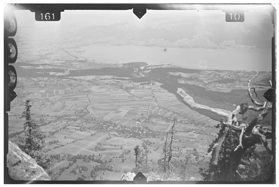
The imagery catalogue of swisstopo comprises around 57'000 scanned analogue black and white terrestrial images. They are represented by the centre-image coordinates, the image footprint as well as the attributed metadata. These images can also be downloaded, as can the corresponding orientation elements, where available.
Simple
- Alternate title
-
Terrestrial images swisstopo
- Date (Creation)
- 1927-01-01T00:00:00
- Identifier
- ch.swisstopo.lubis-terrestrische_aufnahmen
- Status
- Completed
Owner
- Topic category
-
- A Imagery base maps earth cover
Extent
Extent
- Description
-
Switzerland
))

Extent
Extent
- Description
-
Liechtenstein
))

- Maintenance and update frequency
- Irregular
- Duration of Conservation
- 275
- Appraisal of Archival Value
- A
- Reason for Archiving Value
- Evidence of business practice
- GEMET
-
-
photogrammetry
-
photography
-
- geocat.ch
-
-
FSDI Federal Spatial Data Infrastructure
-
Conservation and archiving planning AAP - Confederation
-
Resource constraints
- Other constraints
- Opendata BY: Open use. Must provide the source.
Associated resource
- Association Type
- Reference to a master resource of which this one is a part
- Metadata Reference
- Language
- Deutsch
- Character encoding
- UTF8
- Subtopic Category
- A2 Land Cover, Land Use
- Subtopic Category
- A3 Aerial and Satellite Imagery
- Basic Geodata
- true
- Basic Geodata ID
-
36.1
- Basic Geodata Legal Level
- Federal
- Distribution format
-
-
Cloud Optimized GeoTIFF (TIFF / TIF)
-
Digital transfer options
- OnLine resource
-
Vorschau map.geo.admin.ch
Preview map.geo.admin.ch
Digital transfer options
- OnLine resource
-
ch.swisstopo.lubis-terrestrische_aufnahmen
WMS-FSDI service, layer "Terrestrial images swisstopo"
Digital transfer options
- OnLine resource
-
ch.swisstopo.lubis-terrestrische_aufnahmen
WMTS-FSDI service, layer "Terrestrial images swisstopo"
Digital transfer options
- OnLine resource
-
Webseite Terrestrische Aufnahmen
Digital transfer options
- OnLine resource
-
RESTful API von geo.admin.ch
RESTful API from geo.admin.ch
Digital transfer options
- OnLine resource
-
Metadaten
Digital transfer options
- OnLine resource
-
LUBIS-Viewer
Digital transfer options
- OnLine resource
-
Link für Datenbezug
Metadata
- Metadata identifier
- 7e0b1343-0d6c-4d3d-9c63-9ed49ca2c0a9
- Language
- Deutsch
- Character encoding
- UTF8
- Language
- Français
- Character encoding
- UTF8
- Language
- Italiano
- Character encoding
- UTF8
- Language
- English
- Character encoding
- UTF8
- Language
- Rumantsch
- Character encoding
- UTF8
Point of contact
Type of resource
- Resource scope
- Dataset
- Metadata linkage
-
https://www.geocat.ch/geonetwork/srv/api/records/7e0b1343-0d6c-4d3d-9c63-9ed49ca2c0a9
- Date info (Creation)
- 2018-01-29T10:12:40Z
- Date info (Revision)
- 2026-04-13T09:25:06.921907Z
Metadata standard
- Title
-
eCH-0271