geocat.ch
Grundwasservorkommen
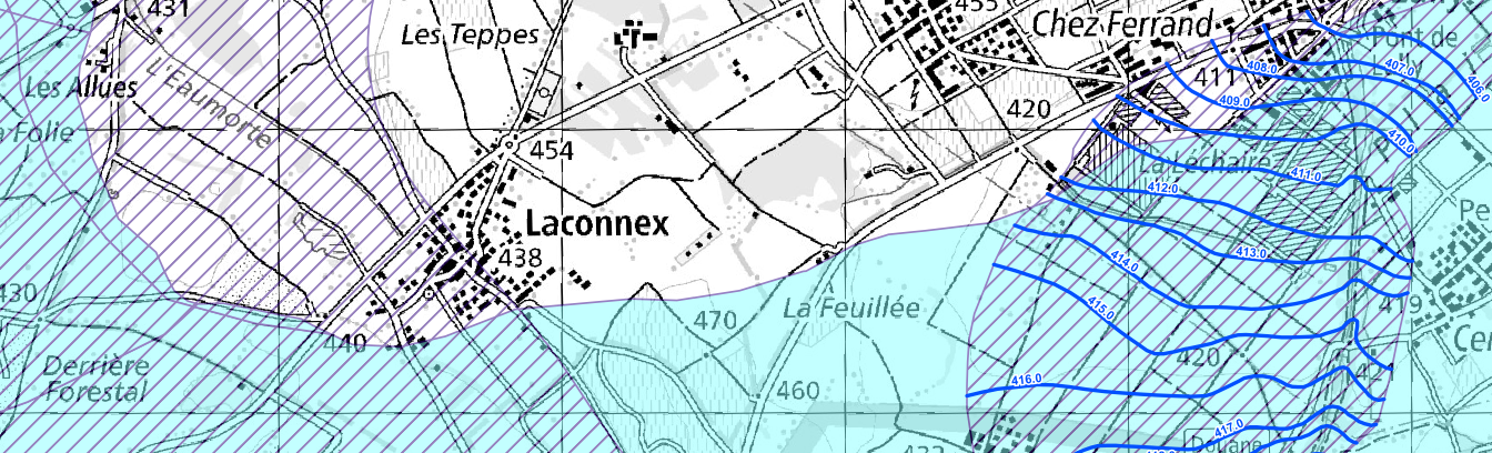
Das Angebot bildet die Ausdehnung und Mächtigkeit der Grundwasservorkommen im Lockergestein und im Festgestein ab. Ergänzend werden Isohypsen, Quellhorizonte und undurchlässige Deckschichten dargestellt. Die Daten basieren auf dem MGDM Grundwasservorkommen (ID 139.1, Version 2.0).
Simple
- Date (Creation)
- 2024-11-27
Resource provider
- Topic category
-
- I Inland waters
Extent
Extent
- Description
-
Switzerland
))

- Maintenance and update frequency
- Daily
- geocat.ch
-
-
canton
-
official geodata
-
geodienste.ch
-
minimum geodata model MGDM
-
- GEMET
-
-
groundwater
-
water (substance)
-
- Language
- Deutsch
- Character encoding
- UTF8
- Basic Geodata
- true
- Basic Geodata ID
-
139.1
- Basic Geodata Legal Level
- Federal
- Distribution format
-
-
STAC
-
OGC Web Map Service (WMS)
-
OGC Web Feature Service (WFS)
-
OGC Geopackage (GPKG)
-
ESRI Shapefile (SHP)
-
Digital transfer options
- OnLine resource
-
Dokumentation
Report on the implementation of services, data, and attributes.
Digital transfer options
- OnLine resource
-
Daten
WMS
Digital transfer options
- OnLine resource
-
Datenbezug
Data access
Digital transfer options
- OnLine resource
-
STAC
STAC
- Reference system identifier
- EPSG:2056
Metadata
- Metadata identifier
- 7cb578f8-ca6f-40ef-8d39-d27414cc3047
- Language
- Deutsch
- Character encoding
- UTF8
- Language
- Français
- Character encoding
- UTF8
- Language
- Italiano
- Character encoding
- UTF8
- Language
- English
- Character encoding
- UTF8
Resource provider
Type of resource
- Resource scope
- Dataset
- Metadata linkage
-
https://www.geocat.ch/geonetwork/srv/api/records/7cb578f8-ca6f-40ef-8d39-d27414cc3047
- Date info (Creation)
- 2024-11-27T00:00:00.000Z
- Date info (Revision)
- 2026-06-20T23:07:58.096342Z
Metadata standard
- Title
-
GM03_2