geocat.ch
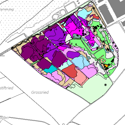
Vegetationkartierung (NW)
Der Geodatensatz umfasst die Vegetationskartierung mit den Angaben zum Gehölze und Flächenart.
Simple
- Date (Creation)
- 2012-01-01
- Date (Revision)
- 2026-03-05
- Identifier
- nw_vegetationskartierung
- Status
- On going
Owner
Das Amt für Raumentwicklung (ARE NW) sorgt für die haushälterische Nutzung des Bodens und die geordnete Besiedlung des Kantons unter Wahrung der natürlichen Lebensgrundlagen. Es koordiniert die Zusammenarbeit bei der Erfüllung raumwirksamer Aufgaben und sorgt für den Interessenausgleich bei räumlichen Nutzungskonflikten.
- Spatial representation type
- Vector
- Topic category
-
- G Biota
Extent
Extent
- Description
-
Canton of Nidwalden (NW)
))

- Maintenance and update frequency
- As needed
- GEMET
-
-
conservation of species
-
biotope
-
wetland
-
flora (biology)
-
plant protection
-
vegetation
-
wild plant
-
Resource constraints
- Access constraints
- Other restrictions
- Use constraints
- Other restrictions
- Other constraints
- Die Geodaten sind öffentlich zugänglich (Zugangsberechtigungsstufe A gemäss GeoIV Art. 21).
- Language
- Deutsch
- Character encoding
- UTF8
- Environment description
-
QGIS
- Basic Geodata
- true
- Basic Geodata ID
-
001-GIS
- Basic Geodata Legal Level
- Andere
- Distribution format
-
-
INTERLIS
-
andere Formate auf Anfrage
-
Distributor
Digital transfer options
- OnLine resource
-
Webkarte Artenschutz
Identifier
- Code
- 2056
Metadata
- Metadata identifier
- 755E0739-DD07-4CBA-8CDB-938971F05593
- Language
- Deutsch
- Character encoding
- UTF8
- Language
- Français
- Character encoding
- UTF8
- Language
- English
- Character encoding
- UTF8
- Language
- Italiano
- Character encoding
- UTF8
Custodian
Type of resource
- Resource scope
- Dataset
- Date info (Revision)
- 2026-05-12T10:10:46.000Z
Metadata standard
- Title
-
GM03_2