geocat.ch
Transportation network CH - swissTNE Base
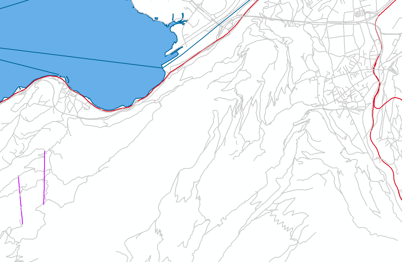
swissTNE Base is the spatial reference base of Transportation Network CH, the future national geodata infrastructure for transport and mobility. This base network maps the four transport modes of rail, road, cable and water in a multimodal way without further thematic information. It serves as a common denominator for referencing and linking spatial transport and mobility data, regardless of whether these are available in geometrically, detailed or aggregated form. The dataset is still based exclusively on the topographic landscape model TLM, but will be further developed and supplemented as part of the implementation of Transportation network CH. In addition, the swissTNE BaseTLM product provides essential domain specific information on these geometries derived from swissTLM3D.
Simple
- Alternate title
-
Base network swissTNE
- Date (Publication)
- 2025-03-05
- Identifier
- ch.swisstopo.swisstne-base
- Purpose
-
This first version of the basic network is intended to give future users the opportunity to get to know and test this spatial reference for mobility data. It also provides the basis on which the first specialized networks and system components for the networking of mobility data can be built. The data schema already has a high degree of maturity and will remain as stable as possible. The data itself is not yet to be regarded as complete and mature in every aspect.
Point of contact
Owner
- Spatial representation type
- Vector
- Topic category
-
- P Transportation
Extent
Extent
- Description
-
Liechtenstein
))

Extent
Extent
- Description
-
Switzerland
))

- Maintenance and update frequency
- Annually
- geocat.ch
-
-
traffic network
-
GIS (Geographic Information System)
-
confederation
-
mobility
-
FSDI Federal Spatial Data Infrastructure
-
- GEMET
-
-
geographic information system
-
GEMET themes
-
transport
-
- GEMET - INSPIRE themes, version 1.0
-
-
Transport networks
-
Resource constraints
- Other constraints
- Opendata BY: Open use. Must provide the source.
Associated resource
- Title
-
Transportation network CH
- Association Type
- Reference to a master resource of which this one is a part
- Language
- english
- Supplemental Information
-
-
- Basic Geodata
- false
- Basic Geodata Type
- openGovernmentData
- Distribution format
-
-
ESRI File Geodatabase FileGDB (GDB)
-
OGC Geopackage (GPKG)
-
Digital transfer options
- OnLine resource
-
ch.swisstopo.swisstne-base
WMS-FSDI service, layer "Base network swissTNE"
Digital transfer options
- OnLine resource
-
ch.swisstopo.swisstne-base
WMTS-FSDI service, layer "Base network swissTNE"
Digital transfer options
- OnLine resource
-
RESTful API von geo.admin.ch
Digital transfer options
- OnLine resource
-
Vorschau map.geo.admin.ch
Digital transfer options
- OnLine resource
-
Verkehrsnetz CH
- Statement
-
-
- Hierarchy level
- Dataset
- Topology level
- Full planar graph
- Geometric object type
- Composite
- Geometric object count
- 3
- Reference system identifier
- EPSG:2056, EPSG:5728
Metadata
- Metadata identifier
- 73a9f69a-5f43-42ae-8abf-fb08ffeb68df
- Language
- Deutsch
- Character encoding
- UTF8
- Language
- Français
- Character encoding
- UTF8
- Language
- Italiano
- Character encoding
- UTF8
- Language
- English
- Character encoding
- UTF8
- Language
- Rumantsch
- Character encoding
- UTF8
Point of contact
Type of resource
- Resource scope
- Dataset
- Metadata linkage
-
https://www.geocat.ch/geonetwork/srv/api/records/73a9f69a-5f43-42ae-8abf-fb08ffeb68df
- Date info (Creation)
- 2023-03-09T07:49:15.469Z
- Date info (Revision)
- 2026-04-13T09:27:12.962147Z
Metadata standard
- Title
-
eCH-0271