geocat.ch
Verkehrsnetz CH - swissTNE Base
Réseau des transports CH - swissTNE Base
Rete dei trasporti CH - swissTNE Base
Transportation network CH - swissTNE Base
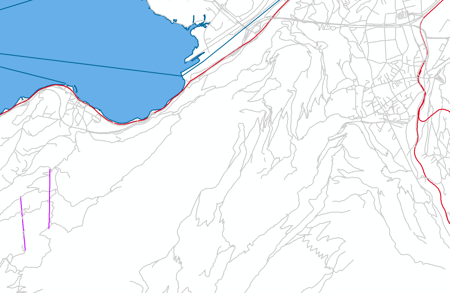
swissTNE Base ist die räumliche Referenzbasis von Verkehrsnetz CH – der zukünftigen, nationalen Geodateninfrastruktur für Verkehr und Mobilität. Dieses Basisnetz bildet die vier Verkehrsträger Schiene, Strasse, Seil und Wasser multimodal ohne weiteren Fachlichkeiten ab. Es dient als gemeinsamer Nenner für die Referenzierung und Verknüpfung von räumlichen Verkehrs- und Mobilitätsdaten, dies unabhängig davon ob diese in geometrisch oder fachlich detaillierter oder aggregierter Form vorliegen. Der Datensatz basiert jetzt ausschliesslich auf dem topografischen Landschaftsmodell TLM, wird im Rahmen der Realisierung von Verkehrsnetz CH weiterentwickelt und ergänzt. Darüber hinaus liefert das Produkt swissTNE BaseTLM grundlegende aus swissTLM3D abgeleitete Fachinformationen über diese Geometrien.
swissTNE Base est la base de référence spatiale du Réseau des transports CH, la future infrastructure nationale de géodonnées pour les transports et la mobilité. Ce réseau de base représente les quatre catégories de voies de transport – rail, route, câble et eau – de manière multimodale sans information métier. Il sert de dénominateur commun pour le référencement et la mise en relation de données spatiales sur les transports et la mobilité, que celles-ci soient disponibles sous forme géométrique, détaillée ou agrégée. Pour l'instant, le jeu de données se base exclusivement sur le modèle topographique du paysage TLM, il sera développé et complété dans le cadre de la réalisation du Réseau des transports CH. En outre, le produit swissTNE BaseTLM fournit des informations métiers essentielles sur ces géométries, dérivées de swissTLM3D.
swissTNE Base è la base di riferimento spaziale della Rete dei trasporti CH, la futura infrastruttura nazionale di geodati per i trasporti e la mobilità. Questa rete di base mappa le quattro modalità di trasporto (ferrovia, strada, cavo e acqua) in modo multimodale, senza l’aggiunta di informazioni tematiche e settoriali. Serve come denominatore comune per assicurare l’interoperabilità tra i dati spaziali sui trasporti e la mobilità, indipendentemente dal fatto che siano disponibili in forma geometrica, dettagliata o aggregata. Il set di dati si basa ancora esclusivamente sul modello topografico del paesaggio TLM, ma sarà ulteriormente sviluppata ed integrata nell'ambito dell'implementazione della Rete dei trasporti CH. Inoltre, il prodotto swissTNE BaseTLM fornisce informazioni specifici essenziali derivate da swissTLM3D e relative a queste geometrie.
swissTNE Base is the spatial reference base of Transportation Network CH, the future national geodata infrastructure for transport and mobility. This base network maps the four transport modes of rail, road, cable and water in a multimodal way without further thematic information. It serves as a common denominator for referencing and linking spatial transport and mobility data, regardless of whether these are available in geometrically, detailed or aggregated form. The dataset is still based exclusively on the topographic landscape model TLM, but will be further developed and supplemented as part of the implementation of Transportation network CH. In addition, the swissTNE BaseTLM product provides essential domain specific information on these geometries derived from swissTLM3D.
Simple
-
Autre titreAltri nomi o acronimiAlternate titleAlternate titleAlternativtitel
-
Basisnetz swissTNE
Réseau de base swissTNE
Rete di base swissTNE
Base network swissTNE
-
Date (Publication)Data (Pubblicazione)Date (Publication)Date (Publication)Datum (Publikation)
- 2025-03-05
-
IdentifiantIdentificatoreIdentifierIdentifierKennung
- ch.swisstopo.swisstne-base
-
ButScopoPurposePurposeZweck
-
Diese erste Version des Basisnetzes soll zukünftigen Nutzerinnen und Nutzern die Möglichkeit geben, diese räumliche Referenz für Mobilitätsdaten kennenzulernen und zu testen. Zudem liefert diese die Basis, auf der erste Fachnetze und erster Systemkomponenten für die Vernetzung von Mobilitätsdaten referenzieren können. Das Datenschema hat bereits einen hohen Reifegrad und wird möglichst stabil bleiben. Die Dateninhalte sind noch nicht als vollständig und überall ausgereift zu betrachten.
Cette première version du réseau de base doit permettre aux futurs utilisateurs de découvrir et de tester cette référence spatiale pour les données de mobilité. De plus, elle fournit la base sur laquelle les premiers réseaux spécialisés et les premiers composants du système de mise en réseau pourront se baser. Le schéma de données a déjà atteint un haut degré de maturité et restera aussi stable que possible. Les données ne doivent pas encore être considérées comme complètes et abouties en tout point.
Questa prima versione della rete di base ha lo scopo di dare ai futuri utenti la possibilità di conoscere e testare questo riferimento spaziale per i dati sulla mobilità. Fornisce inoltre la base di interconnessione alla quale si riferiranno le prime reti di trasporto specializzate. Lo schema dei dati ha già un alto grado di maturità e rimarrà stabile nel tempo. I dati non possono ancora essere considerati completi ed esaustivi.
This first version of the basic network is intended to give future users the opportunity to get to know and test this spatial reference for mobility data. It also provides the basis on which the first specialized networks and system components for the networking of mobility data can be built. The data schema already has a high degree of maturity and will remain as stable as possible. The data itself is not yet to be regarded as complete and mature in every aspect.
Point de contact
Punto di contatto
Point of contact
Point of contact
Ansprechpartner
Propriétaire
Proprietario
Owner
Owner
Eigentümer
-
Type de représentation spatialeTipo di rappresentazione spazialeSpatial representation typeSpatial representation typeRäumliche Darstellungsart
-
vecteurVettorialeVectorVectorVektor
-
Catégorie de thèmeCategoria ISOTopic categoryTopic categoryThematik
-
-
P TransportP TrasportiP TransportationP TransportationP Verkehrswesen
-
Étendue
Estensione
Extent
Extent
Ausdehnung
Étendue
Estensione
Extent
Extent
Ausdehnung
-
DescriptionDescrizioneDescriptionDescriptionBeschreibung
-
Liechtenstein
Liechtenstein
Liechtenstein
Liechtenstein
Liechtenstein
))

Étendue
Estensione
Extent
Extent
Ausdehnung
Étendue
Estensione
Extent
Extent
Ausdehnung
-
DescriptionDescrizioneDescriptionDescriptionBeschreibung
-
Switzerland
Schweiz
Suisse
Svizzera
Svizra
))

-
Fréquence de mise à jourFrequenza di aggiornamentoMaintenance and update frequencyMaintenance and update frequencyWartungsintervall
-
AnnuelleAnnualmenteAnnuallyAnnuallyJährlich
- geocat.ch
-
-
réseau de transport
rete di trasporto
traffic network
-
SIG (Système d'Information Géographique)
SIG (Sistema Informativo Geografico)
GIS (Geographic Information System)
-
confédération
confederazione
confederation
-
mobilité
mobilità
mobility
-
IFDG l’Infrastructure Fédérale de données géographiques
IFDG Infrastruttura federale dei dati geografici
FSDI Federal Spatial Data Infrastructure
-
- GEMET
-
-
système d'information géographique
sistema informativo geografico
geographic information system
-
GEMET themes
GEMET themes
GEMET themes
-
transport
trasporti
transport
-
- GEMET - INSPIRE themes, version 1.0
-
-
Réseaux de transport
Reti di trasporto
Transport networks
-
Contraintes sur la ressource
Vincoli sulle risorse
Resource constraints
Resource constraints
Ressourcenbeschränkungen
-
Autres contraintesAltri vincoliOther constraintsOther constraintsAndere Einschränkungen
- Opendata BY: Freie Nutzung. Quellenangabe ist Pflicht.Opendata BY: Utilisation libre. Obligation d’indiquer la source.Opendata BY: Libero utilizzo. Indicazione della fonte obbligatoria.Opendata BY: Open use. Must provide the source.
Ressource associée
Risorsa associata
Associated resource
Associated resource
Verlinkte Ressource
-
TitreTitoloTitleTitleTitel
-
Verkehrsnetz CH
Réseau des transports CH
Rete dei trasporti CH
Transportation network CH
-
Type d'associationTipo di associazioneAssociation TypeAssociation TypeAssoziationstyp
-
Citation de travail plus largeCitazione di un'opera più ampiaReference to a master resource of which this one is a partReference to a master resource of which this one is a partÜbergeordneter Datenbestand
-
LangueLinguaLanguageLanguageSprache
- english
-
Informations supplémentairesInformazioni supplementariSupplemental InformationSupplemental InformationZusätzliche Informationen
-
-
-
-
-
-
-
Géodonnées de baseGeodati di baseBasic GeodataBasic GeodataGeobasisdaten
- false
-
Type de géodonnées de baseTipo di geodati di baseBasic Geodata TypeBasic Geodata TypeGeobasisdatentyp
-
openGovernmentDataopenGovernmentDataopenGovernmentDataopenGovernmentDataopenGovernmentData
-
Format de distributionFormato (codifica)Distribution formatDistribution formatAbgabeformat
-
-
ESRI File Geodatabase FileGDB (GDB)
-
OGC Geopackage (GPKG)
-
Options de transfert numérique
Opzioni di trasferimento digitale
Digital transfer options
Digital transfer options
Optionen für die digitale Übertragung
-
Ressource en ligneRisorsa onlineOnLine resourceOnLine resourceOnline
-
ch.swisstopo.swisstne-base
WMS-BGDI Dienst, Layer "Basisnetz swissTNE"Service WMS-IFDG, couche "Réseau de base swissTNE"Servizio WMS-IFDG, strato "Rete di base swissTNE"WMS-FSDI service, layer "Base network swissTNE"WMS-BGDI Dienst, Layer "Basisnetz swissTNE"
Options de transfert numérique
Opzioni di trasferimento digitale
Digital transfer options
Digital transfer options
Optionen für die digitale Übertragung
-
Ressource en ligneRisorsa onlineOnLine resourceOnLine resourceOnline
-
ch.swisstopo.swisstne-base
WMTS-BGDI Dienst, Layer "Basisnetz swissTNE"Service WMTS-IFDG, couche , Layer "Réseau de base swissTNE"Servizio WMTS-IFDG, strato "Rete di base swissTNE"WMTS-FSDI service, layer "Base network swissTNE"WMTS-BGDI Dienst, Layer "Basisnetz swissTNE"
Options de transfert numérique
Opzioni di trasferimento digitale
Digital transfer options
Digital transfer options
Optionen für die digitale Übertragung
-
Ressource en ligneRisorsa onlineOnLine resourceOnLine resourceOnline
-
RESTful API von geo.admin.ch
Options de transfert numérique
Opzioni di trasferimento digitale
Digital transfer options
Digital transfer options
Optionen für die digitale Übertragung
-
Ressource en ligneRisorsa onlineOnLine resourceOnLine resourceOnline
-
Vorschau map.geo.admin.ch
Options de transfert numérique
Opzioni di trasferimento digitale
Digital transfer options
Digital transfer options
Optionen für die digitale Übertragung
-
Ressource en ligneRisorsa onlineOnLine resourceOnLine resourceOnline
-
Verkehrsnetz CH
Options de transfert numérique
Opzioni di trasferimento digitale
Digital transfer options
Digital transfer options
Optionen für die digitale Übertragung
-
Généralités sur la provenanceInformazioni generali sulla provenienzaStatementStatementErklärung
-
-
-
NiveauLivelloHierarchy levelHierarchy levelBezugsebene
-
Jeu de donnéesSet di datiDatasetDatasetDatenbestand
-
Niveau de topologieLivello di topologiaTopology levelTopology levelTopologieebene
-
Topologie de réseau complèteGrafo planare completoFull planar graphFull planar graphVollständige Netzwerktopologie
-
Type d’objet géométriqueTipo di oggetto geometricoGeometric object typeGeometric object typeTyp des geometrischen Objekts
-
CompositeCompositoCompositeCompositecomposite
-
Nombre d’objets géométriquesNumero di oggetti geometriciGeometric object countGeometric object countAnzahl geometrischer Objekte
- 3
-
Nom du système de référenceNome del sistema di riferimentoReference system identifierReference system identifierName des Referenzsystems
- EPSG:2056, EPSG:5728
Metadata
-
Identifiant des métadonnéesIdentificativo della schedaMetadata identifierMetadata identifierIdentifikator des Metadatensatzes
- 73a9f69a-5f43-42ae-8abf-fb08ffeb68df
-
LangueLinguaLanguageLanguageSprache
- Deutsch
-
Encodage de caractèresCodifica dei caratteriCharacter encodingCharacter encodingZeichenkodierung
-
Utf8UTF8UTF8UTF8Utf8
-
LangueLinguaLanguageLanguageSprache
- Français
-
Encodage de caractèresCodifica dei caratteriCharacter encodingCharacter encodingZeichenkodierung
-
Utf8UTF8UTF8UTF8Utf8
-
LangueLinguaLanguageLanguageSprache
- Italiano
-
Encodage de caractèresCodifica dei caratteriCharacter encodingCharacter encodingZeichenkodierung
-
Utf8UTF8UTF8UTF8Utf8
-
LangueLinguaLanguageLanguageSprache
- English
-
Encodage de caractèresCodifica dei caratteriCharacter encodingCharacter encodingZeichenkodierung
-
Utf8UTF8UTF8UTF8Utf8
-
LangueLinguaLanguageLanguageSprache
- Rumantsch
-
Encodage de caractèresCodifica dei caratteriCharacter encodingCharacter encodingZeichenkodierung
-
Utf8UTF8UTF8UTF8Utf8
Point de contact
Punto di contatto
Point of contact
Point of contact
Ansprechpartner
-
Heures de serviceOrario di servizioHours of serviceHours of serviceBetriebszeiten
-
08h30 - 11h00 / 14h00 - 16h00 GMT+1
Type de ressource
Tipo di risorsa
Type of resource
Type of resource
Anwendungsbereich der Metadaten
-
Domaine d'application de la ressourceAmbito di applicazione della risorsaResource scopeResource scopeDomäne der Ressourcenanwendung
-
Jeu de donnéesSet di datiDatasetDatasetDatenbestand
-
Lien vers la métadonnéeCollegamento ai metadatiMetadata linkageMetadata linkageLink zu den Metadaten
-
Informations de date (Création)Informazioni sulla data (Creazione)Date info (Creation)Date info (Creation)Datumsangaben (Erstellung)
- 2023-03-09T07:49:15.469Z
-
Informations de date (Révision)Informazioni sulla data (Revisione)Date info (Revision)Date info (Revision)Datumsangaben (Aktualisierung)
- 2026-04-13T09:27:12.962147Z
Norme des métadonnées
Standard dei metadati
Metadata standard
Metadata standard
Metadatenstandard
-
TitreTitoloTitleTitleTitel
-
eCH-0271