geocat.ch
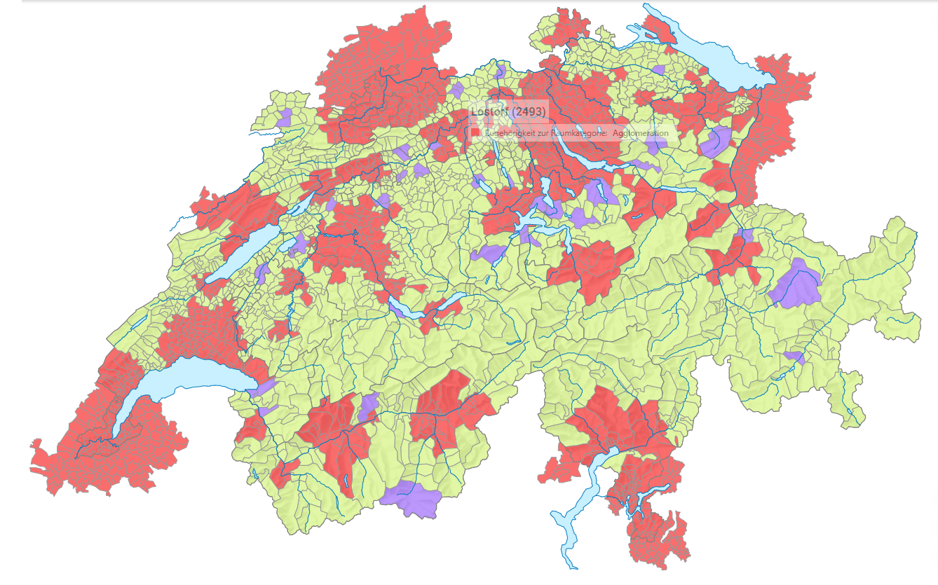
Agglomerations: generalized boundaries
Administrative borders which have a low level of detail are often needed for thematic maps and representations on a small scale. The digital boundaries of Switzerland and the Principality of Liechtenstein, which are updated annually by the Federal Office of Topography, are often too detailed for this purpose. Therefore, GEOSTAT provides digital boundaries for communes, districts, cantons, regions, lakes of more than 5 km2 surface as well as national boundaries at different levels of generalisation. In addition to the administrative boundaries, boundaries on the area with urban character (agglomerations including associated communes of neighbouring countries and core municipalities outside agglomerations) are included as well.The generalisation level G1 is most appropriate for cartographic visualisations at a scale between 1:250'000 and 1:500'000.
Simple
- Alternate title
-
Administrative borders G1, agglomerations
- Date (Creation)
- 2017-12-14
- Identifier
- ch.bfs.generalisierte-grenzen_agglomerationen_g1
- Purpose
-
Für vielfältige Darstellungen in kleinen Massstäben sowie für die Bearbeitung thematischer Fragestellungen sind oft administrative Grenzen erwünscht, die einen niedrigen Detaillierungsgrad aufweisen. Da die durch das Bundesamt für Landestopografie jährlich nachgeführten digitalen Gemeindegrenzen der Schweiz und des Fürstentums Liechtenstein für solche Aufgaben zu detailliert sind, leitet GEOSTAT von diesen Grundlagedaten jährlich drei Generalisierungen der Gemeindegrenzen ab.
- Status
- On going
Point of contact
- Spatial representation type
- Vector
- Topic category
-
- D Boundaries
Extent
Extent
- Description
-
Switzerland
))

- Maintenance and update frequency
- Annually
- Duration of Conservation
- 100
- Appraisal of Archival Value
- A
- Reason for Archiving Value
- Evidence of business practice
Resource format
- Title
-
TEXT, semicolon separated (CSV)
- Date
Resource format
- Title
-
ESRI Shapefile (SHP)
- Date
- geocat.ch
-
-
cartographic generalisation
-
district
-
opendata.swiss
-
major region
-
FSDI Federal Spatial Data Infrastructure
-
political boundary
-
- GEMET
-
-
municipality
-
region
-
lake
-
administrative boundary
-
- geocat.ch
-
-
canton
-
Resource constraints
- Access constraints
- Intellectual property rights
- Use constraints
- Other restrictions
Associated resource
- Association Type
- Reference to a master resource of which this one is a part
- Metadata Reference
- Language
- Deutsch
- Character encoding
- UTF8
- Language
- Français
- Character encoding
- UTF8
- Environment description
-
ESRI ArcGIS
- Distribution format
-
-
ESRI Shapefile (SHP)
-
ESRI File Geodatabase FileGDB (GDB)
-
Google Keyhole Markup Language (KML)
-
Digital transfer options
- OnLine resource
-
GEOSTAT
GEOSTAT ist das BFS-Kompetenzzentrum für Geoinformation und digitale Bildverarbeitung.
Digital transfer options
- OnLine resource
-
Variablenliste
Digital transfer options
- OnLine resource
-
ch.bfs.generalisierte-grenzen_agglomerationen_g1
WMS-FSDI service, layer "Administrative borders G1, agglomerations"
Digital transfer options
- OnLine resource
-
ch.bfs.generalisierte-grenzen_agglomerationen_g1
WMTS-FSDI service, layer "Administrative borders G1, agglomerations"
Digital transfer options
- OnLine resource
-
RESTful API von geo.admin.ch
Digital transfer options
- OnLine resource
-
Vorschau map.geo.admin.ch
Digital transfer options
- OnLine resource
-
Geodaten
Download of the generalized boundaries of the agglomerations
Digital transfer options
- OnLine resource
-
Datenbeschreibung
Geodata description of the generalized boundaries of the agglomerations
- Statement
-
Die Generalisierung bewirkt eine Vereinfachung der Geometrie und eine Reduktion der Datenmenge. Dies geschieht durch die Vereinfachung der Formen der Polygone und durch die Reduzierung von Punkten in den verwendeten Liniensegmenten. In früheren Generalisierungen wurde aufgrund der damals verfügbaren einfacheren GIS-Funktionen nur die Anzahl der Knoten reduziert, was zwar zur gewünschten Datenreduktion, aber gleichzeitig auch zu einem unerwünschten, nicht mehr befriedigenden kartografischen Resultat führte. Nach mehreren, teils aufwendigen Vorbereitungsarbeiten werden heute dank der Kombination der Verfahren Bendsimplify (Vereinfachung der Formen) und Douglas Peucker Pointremove (Reduzierung der Anzahl der Punkte) visuell ansprechende Datensätze in unterschiedlichen Generalisierungsstufen erzeugt.
- Hierarchy level
- Dataset
- Description
-
Jährlich aktualisierte politische und administrative Grenzen der Schweiz in digitaler Form, welche unter den Bezeichnungen GG25 (Gemeindegrenzen 1:25'000) und swissBOUNDARIES3D (ab 2010) durch das Bundesamt für Landestopografie vertrieben werden.
- Reference system identifier
- EPSG: 2056
- Maintenance and update frequency
- Annually
Metadata
- Metadata identifier
- 68924d22-bc42-425e-bbcc-a2f75c5c796c
- Language
- Deutsch
- Character encoding
- UTF8
- Language
- Français
- Character encoding
- UTF8
- Language
- Italiano
- Character encoding
- UTF8
- Language
- English
- Character encoding
- UTF8
- Language
- Rumantsch
- Character encoding
- UTF8
Point of contact
Type of resource
- Resource scope
- Dataset
- Metadata linkage
-
https://www.geocat.ch/geonetwork/srv/api/records/68924d22-bc42-425e-bbcc-a2f75c5c796c
- Date info (Creation)
- 2017-12-14T08:46:23Z
- Date info (Revision)
- 2026-04-13T09:28:35.770862Z
Metadata standard
- Title
-
eCH-0271