geocat.ch
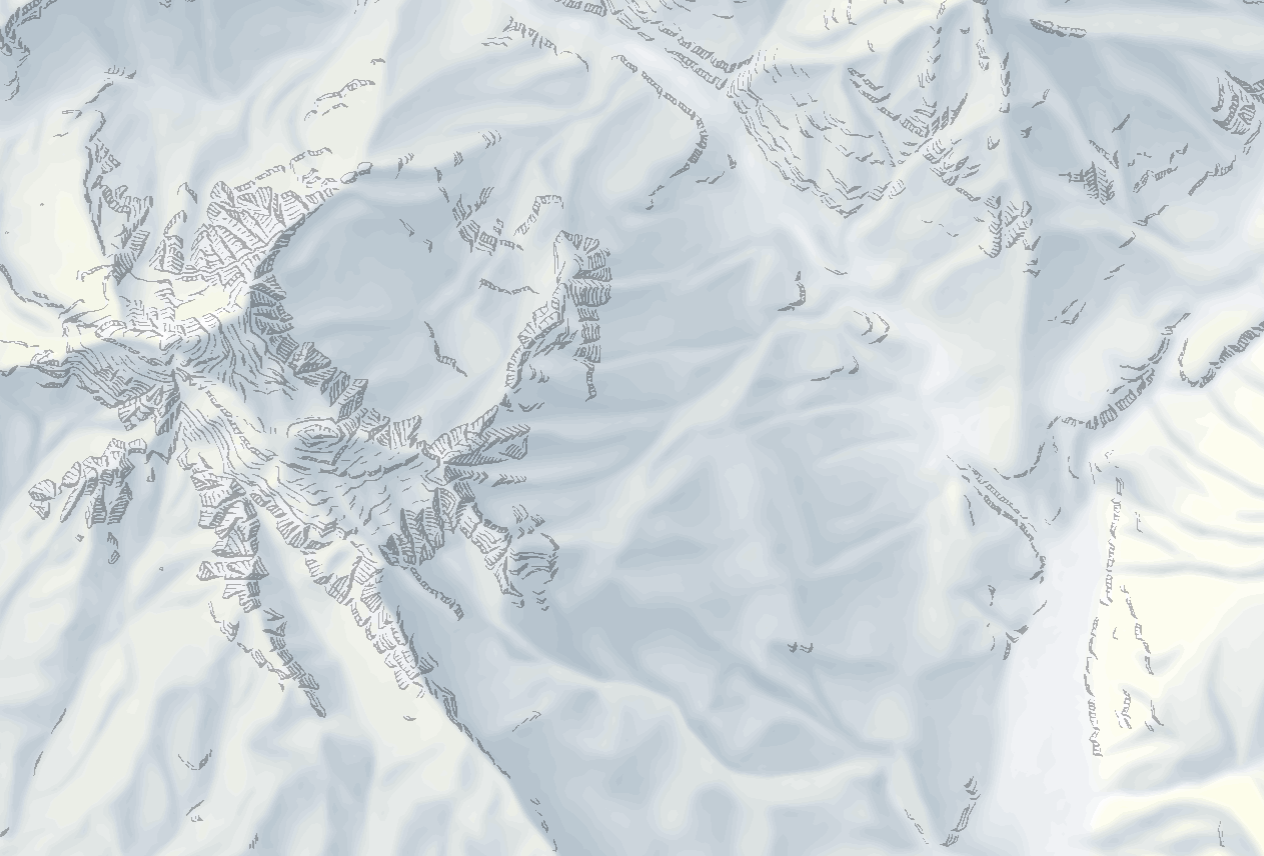
Vector relief (Vector Tileset)
Vector representation derived from the digital elevation model swissALTI3D and from elements of the digital cartographic model, with which the relief of Switzerland, the Principality of Liechtenstein and bordering countries can be depicted. It combines elements from the National Maps (the original hand-made relief, the yellow colouring, the terrain elements of rocks, scree slopes and glaciers). The content varies according to the zoom levels.
Simple
- Alternate title
-
Relief Vector Tileset
- Date (Creation)
- 2023-06-01
- Date (Revision)
- 2026-04-01
- Edition
-
1.0.0
- Identifier
- ch.swisstopo.relief.vt
- Status
- On going
Point of contact
Owner
- Spatial representation type
- Vector
Spatial resolution
Equivalent scale
- Denominator
- 5000
Spatial resolution
Equivalent scale
- Denominator
- 1000000
- Topic category
-
- A Imagery base maps earth cover
Extent
Extent
- Description
-
National map 1:1'000'000
- Geographic identifier
- NM1000
))

- Maintenance and update frequency
- Annually
- geocat.ch
-
-
terrain representation
-
official geodata
-
FSDI Federal Spatial Data Infrastructure
-
base map
-
Resource constraints
- Use constraints
- Other restrictions
- Other constraints
- Opendata BY: Open use. Must provide the source.
- Language
- English
- Character encoding
- UTF8
- Subtopic Category
- A1 Base Maps, Landscape Models
- Basic Geodata
- false
- Basic Geodata Legal Level
- Federal
- Basic Geodata Type
- Reference Geodata
- Distribution format
-
-
Mapbox Vector Tiles (MBtiles)
-
Digital transfer options
- OnLine resource
-
Web Service Beschreibung
Web Service Description
Digital transfer options
- OnLine resource
-
Vorschau map.geo.admin.ch
- Reference system identifier
- EPSG:3857
Metadata
- Metadata identifier
- 64cc025d-fbab-412f-a31a-adeea889cdc9
- Language
- Deutsch
- Character encoding
- UTF8
- Language
- Français
- Character encoding
- UTF8
- Language
- Italiano
- Character encoding
- UTF8
- Language
- English
- Character encoding
- UTF8
- Language
- Rumantsch
- Character encoding
- UTF8
Point of contact
Type of resource
- Resource scope
- Dataset
- Metadata linkage
-
https://www.geocat.ch/geonetwork/srv/api/records/64cc025d-fbab-412f-a31a-adeea889cdc9
- Date info (Creation)
- 2023-06-07T09:10:54.846Z
- Date info (Revision)
- 2026-05-08T08:46:46.55875Z
Metadata standard
- Title
-
eCH-0271