geocat.ch
Amtliche Vermessung: Fixpunkte, reduziertes Datenmodell
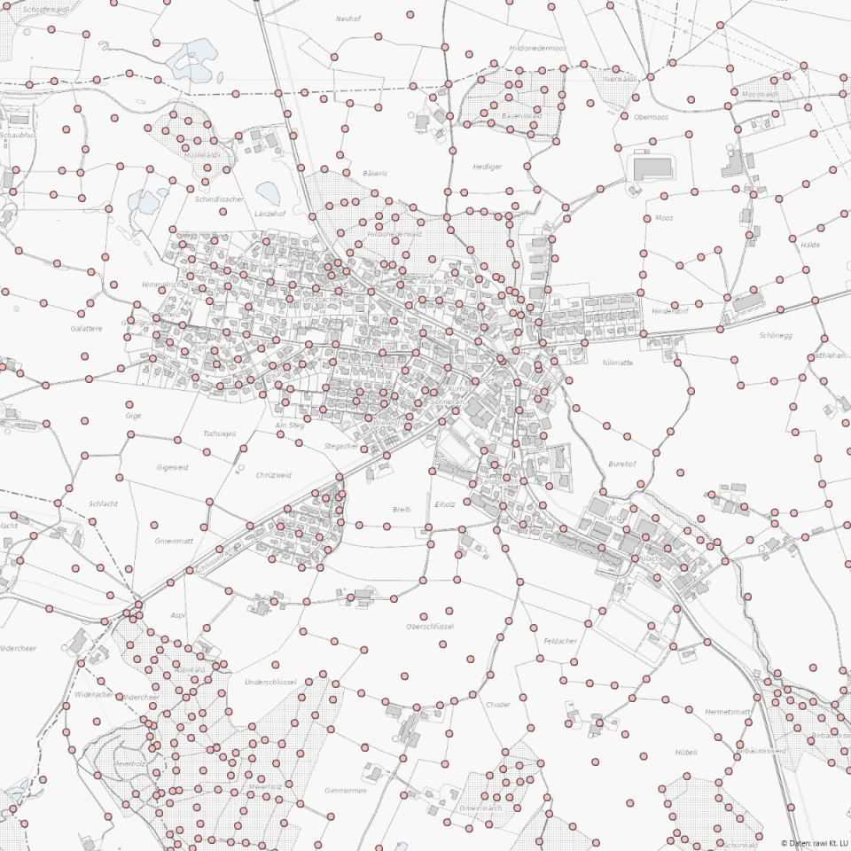
Daten der amtlichen Vermessung (MOpublic): Lage- und Höhenfixpunkte (national, kantonal, kommunal), mit reduziertem Datenmodell für Feldinstrumente.
Simple
Identification info
- Alternate title
-
AVFIXRED_DS
- Date (Creation)
- 2025-12-23
- Presentation form
- Digital map
- Purpose
-
Anschlusspunkte der amtlichen Vermessung, die durch Messungen und Ausgleichungsverfahren im Bezugssystem der schweizerischen Landesvermessung bestimmt und im Feld durch Fixpunktzeichen dauerhaft und eindeutig gekennzeichnet sind.Datensatz liegt ohne Hilfsfixpunkte und mit reduziertem Datenmodell vor. Zudem liegen die Daten in einem csv-Format bereit, um dies in Feldinstrumenten einfach einlesen zu können.
- Status
- On going
Point of contact
Responsible party
- Organisation name
-
Kanton Luzern, Abteilung Geoinformation
- Voice
-
041 228 51 83
Address
- City
-
Luzern
- Postal code
-
6002
- Country
-
CH
- Electronic mail address
- Streetname
-
Murbacherstrasse
- Streetnumber
-
21
- Website
- https://geoportal.lu.ch/ ( https )
- Role
- Publisher
Point of contact
Responsible party
- Organisation name
-
Dienststelle Raum und Wirtschaft (rawi)
- Voice
-
041 228 51 83
Address
- City
-
Luzern
- Postal code
-
6002
- Country
-
CH
- Electronic mail address
- Streetname
-
Murbacherstrasse
- Streetnumber
-
21
- Website
- https://geoportal.lu.ch ( https )
- Role
- Owner
- Last Name
-
Dienststelle Raum und Wirtschaft (rawi)
- Organisation Acronym
-
rawi
- Maintenance and update frequency
- Continual
-
geocat.ch
-
-
opendata.swiss
-
Amtliche Vermessung/AV
-
Fixpunkte
-
Geodäsie
-
Grundbuch
-
- Access constraints
- none
- Use constraints
- Copyright
- Use limitation
-
öffentlich zugängliche Geobasisdaten
- Access constraints
- none
- Use constraints
- none
- Use limitation
-
Freie Nutzung. Quellenangabe ist Pflicht
- Spatial representation type
- Text, table
- Language
- Deutsch
- Character set
- UTF8
- Topic category
-
- B Location, Reference Systems
- Description
-
Kanton Luzern
- Distribution format
-
-
Kommaseparierte Textdatei (*.csv)
(
)
-
Kommaseparierte Textdatei (*.csv)
(
)
Distributor contact
Responsible party
- Organisation name
-
Dienststelle Raum und Wirtschaft (rawi)
- Voice
-
041 228 51 83
Address
- City
-
Luzern
- Postal code
-
6002
- Country
-
CH
- Electronic mail address
- Streetname
-
Murbacherstrasse
- Streetnumber
-
21
- Website
- https://geoportal.lu.ch ( https )
- Role
- Point of contact
- First Name
-
Geodaten
- Last Name
-
Kanton Luzern
- Organisation Acronym
-
rawi
- OnLine resource
-
Datenshop
(
https
)
Produktansicht Geodatenshop
- Hierarchy level
- Dataset
- Statement
-
unbekannt
- Reference system identifier
- CH1903+
Content Information
- Metadata language
-
ger
- Included with dataset
- Date (Publication)
- 2022-03-21
Class
- Name
-
Tabelle
Attribute
- Name
-
BFS_NR
- Description
-
BFS-Gemeindenummer
Attribute
- Name
-
E_COORD
- Description
-
Ostkoordinate
Attribute
- Name
-
GEMEINDE
- Description
-
Gemeindename
Attribute
- Name
-
HOEHE
- Description
-
Höhe ü. Meer [m]
Attribute
- Name
-
KATEGORIE
- Description
-
Fixpunktkategorie
Attribute
- Name
-
N_COORD
- Description
-
Nordkoordinate
Attribute
- Name
-
NUMMER
- Description
-
Nummer
Attribute
- Name
-
OBJECTID
- Description
-
OBJECTID
Attribute
- Name
-
PUNKTZEICHEN
- Description
-
Punktzeichen
- Model type
- Feature description
Metadata
- Metadata language
- Deutsch
- Character set
- UTF8
- Hierarchy level
- Dataset
- Date stamp
- 2025-12-16
- Metadata standard name
-
GM03 2+
Metadata author
Responsible party
- Organisation name
-
Dienststelle Raum und Wirtschaft (rawi)
- Voice
-
041 228 51 83
Address
- City
-
Luzern
- Postal code
-
6002
- Country
-
CH
- Electronic mail address
- Streetname
-
Murbacherstrasse
- Streetnumber
-
21
- Website
- https://geoportal.lu.ch ( https )
- Role
- Point of contact
- First Name
-
Jonas
- Last Name
-
Thalmann
- Organisation Acronym
-
rawi
- Maintenance and update frequency
- Continual