geocat.ch
swissSURFACE3D, die klassifizierte Punktwolke der Schweiz
swissSURFACE3D, le nuage de points classifiés de la Suisse
swissSURFACE3D, la nuvola di punti registrati della Svizzera
swissSURFACE3D
swissSURFACE3D, the classified point cloud of Switzerland
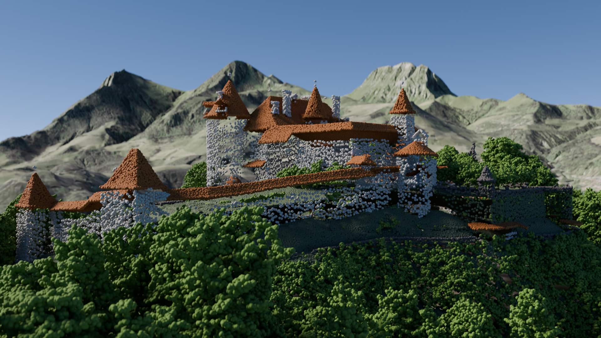
swissSURFACE3D beschreibt die Oberfläche der Schweiz mit allen natürlichen und künstlichen Elementen in Form einer klassifizierten Punktwolke. Die mit einem airborne LiDAR erhobenen Daten zeichnen sich durch eine hohe Punktdichte und Genauigkeit aus. swissSURFACE3D wird in Kacheln von jeweils 1 km2 produziert. Die Kachelnummerierung entspricht den Kilometerkoordinaten des südwestlichen Eckpunkts einer Kachel.
swissSURFACE3D décrit tous les éléments naturels et construits de la surface de la Suisse sous forme d’un nuage de points classifiés. Acquises par LiDAR aéroporté, ces données bénéficient d’une densité spatiale et d’une précision élevée. swissSURFACE3D est produit en tuiles de 1 km2. La numérotation des tuiles correspond aux coordonnées kilométriques de leur angle sud-ouest.
swissSURFACE3D descrive tutti gli elementi naturali e costruiti presenti sulla superficie della Svizzera, sotto forma di una nuvola di punti registrati. Acquisiti da LiDAR questi dati beneficiano di una densità e di una precisione elevati. swissSURFACE3D viene prodotto in tasselli di 1 km2. La loro numerazione corrisponde alle coordinate chilometriche del loro angolo sud-ovest.
swissSURFACE3D models all natural and man-made objects of the surface of Switzerland in the form of a classified point cloud. These high-accuracy and high spatial density data are collected by airborne LiDAR. swissSURFACE3D is produced in 1 km2 tiles. The tiles are numbered based on the coordinates in kilometers of their southwest angle.
Simple
-
Autre titreAltri nomi o acronimiAlternate titleAlternate titleAlternativtitel
-
swissSURFACE3D LiDAR
swissSURFACE3D LiDAR
swissSURFACE3D LiDAR
swissSURFACE3D LiDAR
swissSURFACE3D LiDAR
-
Date (Création)Data (Creazione)Date (Creation)Date (Creation)Datum (Erstellung)
- 2019-02-06
-
IdentifiantIdentificatoreIdentifierIdentifierKennung
- ch.swisstopo.swisssurface3d
Propriétaire
Proprietario
Owner
Owner
Eigentümer
-
Catégorie de thèmeCategoria ISOTopic categoryTopic categoryThematik
-
-
C ÉlévationC AltitudineC ElevationC ElevationC Höhenangaben
-
Étendue
Estensione
Extent
Extent
Ausdehnung
Étendue
Estensione
Extent
Extent
Ausdehnung
-
DescriptionDescrizioneDescriptionDescriptionBeschreibung
-
SWISSIMAGE 10 cm
SWISSIMAGE 10 cm
SWISSIMAGE 10 cm
SWISSIMAGE 10 cm
SWISSIMAGE 10 cm
-
Identifiant géographiqueIdentificatore geograficoGeographic identifierGeographic identifierGeografische Kennung
- SWISSIMAGE 10 cmSWISSIMAGE 10 cmSWISSIMAGE 10 cmSWISSIMAGE 10 cmSWISSIMAGE 10 cm
))

-
Fréquence de mise à jourFrequenza di aggiornamentoMaintenance and update frequencyMaintenance and update frequencyWartungsintervall
-
InconnueSconosciutoUnknownUnknownUnbekannt
- GEMET
-
-
laser
laser (radiazione)
laser
-
relief
rilievo
relief (land)
-
système d'information géographique
sistema informativo geografico
geographic information system
-
végétation
vegetazione
vegetation
-
altitude
altitudine
altitude
-
- GEMET - INSPIRE themes, version 1.0
-
-
Altitude
Elevazione
Elevation
-
- geocat.ch
-
-
Airborne-Laser-Scanning
Airborne-Laser-Scanning
Airborne-Laser-Scanning
-
LIDAR (Light Detection And Ranging)
LIDAR (Light Detection And Ranging)
LIDAR (Light Detection And Ranging)
-
opendata.swiss
opendata.swiss
opendata.swiss
opendata.swiss
-
- geocat.ch
-
-
BGDI Bundesgeodaten-Infrastruktur
IFDG l’Infrastructure Fédérale de données géographiques
IFDG Infrastruttura federale dei dati geografici
FSDI Federal Spatial Data Infrastructure
-
Contraintes sur la ressource
Vincoli sulle risorse
Resource constraints
Resource constraints
Ressourcenbeschränkungen
-
Autres contraintesAltri vincoliOther constraintsOther constraintsAndere Einschränkungen
- Opendata BY: Freie Nutzung. Quellenangabe ist Pflicht.Opendata BY: Utilisation libre. Obligation d’indiquer la source.Opendata BY: Libero utilizzo. Indicazione della fonte obbligatoria.Opendata BY: Open use. Must provide the source.
Ressource associée
Risorsa associata
Associated resource
Associated resource
Verlinkte Ressource
-
Type d'associationTipo di associazioneAssociation TypeAssociation TypeAssoziationstyp
-
Citation de travail plus largeCitazione di un'opera più ampiaReference to a master resource of which this one is a partReference to a master resource of which this one is a partÜbergeordneter Datenbestand
-
Metadata ReferenceRiferimento metadatiMetadata ReferenceMetadata ReferenceMetadatenreferenz
-
LangueLinguaLanguageLanguageSprache
- Deutsch
-
Encodage de caractèresCodifica dei caratteriCharacter encodingCharacter encodingZeichenkodierung
-
Utf8UTF8UTF8UTF8Utf8
-
Géodonnées de baseGeodati di baseBasic GeodataBasic GeodataGeobasisdaten
- true
-
Identifiant Géodonnées de baseIdentificativo dei geodati di baseBasic Geodata IDBasic Geodata IDIdentifikator des Geobasisdatensatzes
-
41.7
-
Niveau des géodonnées de baseLivello legale dei geodati di baseBasic Geodata Legal LevelBasic Geodata Legal LevelGeobasisdatenebene
-
FédéralFederaleFederalFederalNational
-
Type de géodonnées de baseTipo di geodati di baseBasic Geodata TypeBasic Geodata TypeGeobasisdatentyp
-
Géodonnées de référenceGeodati di riferimentoReference GeodataReference GeodataGeoreferenzdaten
-
Format de distributionFormato (codifica)Distribution formatDistribution formatAbgabeformat
-
-
TEXT, semicolon separated (CSV)
-
ASPRS LASer (LAS)
-
Options de transfert numérique
Opzioni di trasferimento digitale
Digital transfer options
Digital transfer options
Optionen für die digitale Übertragung
-
Ressource en ligneRisorsa onlineOnLine resourceOnLine resourceOnline
-
swissSURFACE3D
Options de transfert numérique
Opzioni di trasferimento digitale
Digital transfer options
Digital transfer options
Optionen für die digitale Übertragung
Options de transfert numérique
Opzioni di trasferimento digitale
Digital transfer options
Digital transfer options
Optionen für die digitale Übertragung
-
Ressource en ligneRisorsa onlineOnLine resourceOnLine resourceOnline
-
swissSURFACE3D
-
Type d’objet géométriqueTipo di oggetto geometricoGeometric object typeGeometric object typeTyp des geometrischen Objekts
-
PointPuntoPointPointpoint
-
Nom du système de référenceNome del sistema di riferimentoReference system identifierReference system identifierName des Referenzsystems
- EPSG:2056
Metadata
-
Identifiant des métadonnéesIdentificativo della schedaMetadata identifierMetadata identifierIdentifikator des Metadatensatzes
- 5cb73a88-887c-432d-b3a4-f4ea2b508a51
-
LangueLinguaLanguageLanguageSprache
- Deutsch
-
Encodage de caractèresCodifica dei caratteriCharacter encodingCharacter encodingZeichenkodierung
-
Utf8UTF8UTF8UTF8Utf8
-
LangueLinguaLanguageLanguageSprache
- Français
-
Encodage de caractèresCodifica dei caratteriCharacter encodingCharacter encodingZeichenkodierung
-
Utf8UTF8UTF8UTF8Utf8
-
LangueLinguaLanguageLanguageSprache
- Italiano
-
Encodage de caractèresCodifica dei caratteriCharacter encodingCharacter encodingZeichenkodierung
-
Utf8UTF8UTF8UTF8Utf8
-
LangueLinguaLanguageLanguageSprache
- English
-
Encodage de caractèresCodifica dei caratteriCharacter encodingCharacter encodingZeichenkodierung
-
Utf8UTF8UTF8UTF8Utf8
-
LangueLinguaLanguageLanguageSprache
- Rumantsch
-
Encodage de caractèresCodifica dei caratteriCharacter encodingCharacter encodingZeichenkodierung
-
Utf8UTF8UTF8UTF8Utf8
Dépositaire
Custode
Custodian
Custodian
Verwalter
-
Heures de serviceOrario di servizioHours of serviceHours of serviceBetriebszeiten
-
08h30 - 11h00 / 14h00 - 16h00 GMT+1
Type de ressource
Tipo di risorsa
Type of resource
Type of resource
Anwendungsbereich der Metadaten
-
Domaine d'application de la ressourceAmbito di applicazione della risorsaResource scopeResource scopeDomäne der Ressourcenanwendung
-
Jeu de donnéesSet di datiDatasetDatasetDatenbestand
-
Lien vers la métadonnéeCollegamento ai metadatiMetadata linkageMetadata linkageLink zu den Metadaten
-
Informations de date (Création)Informazioni sulla data (Creazione)Date info (Creation)Date info (Creation)Datumsangaben (Erstellung)
- 2020-12-16T10:14:19Z
-
Informations de date (Révision)Informazioni sulla data (Revisione)Date info (Revision)Date info (Revision)Datumsangaben (Aktualisierung)
- 2026-06-15T07:49:12.22012Z
Norme des métadonnées
Standard dei metadati
Metadata standard
Metadata standard
Metadatenstandard
-
TitreTitoloTitleTitleTitel
-
eCH-0271