geocat.ch
Gewässerraum ohne Bewirtschaftungseinschränkungen
Der Gewässerraum ist extensiv zu gestalten und zu bewirtschaften (GSchG, Art. 36a Abs. 3). In der Landwirtschaft sind folgende Gewässerraumflächen von den Bewirtschaftungseinschränkungen ausgenommen: Flächen über eingedolten Gewässerabschnitten, Randstreifen entlang Verkehrsachen und äussere Korridore bei Gewässeräumen von grossen Fliessgewässern. Der Datensatz umfasst diese Festlegungen.
Simple
Informazioni di identificazione
- Titolo alternativo
-
GEWROHBE_DS
- Data (Creazione)
- 2025-11-29
- Formato di presentazione
- Mappa digitale
- Finalità
-
Die Flächen werden auf den Zonenplänen orientierend dargestellt und vom Regierungsrat bewilligt. Der Datensatz wird verwendet, um den Ableitungsdatensatz "Gewässerraum mit Bewirtschaftungseinschränkungen" herzuleiten. Die Unterscheidung des Gewässerraums ist für die landwirtschaftliche Bewirtschaftung (intensiv/extensiv) von Bedeutung.
- Status
- In corso
Punto di contatto
Servizio responsabile
- Nome dell'ente
-
Kanton Luzern, Abteilung Geoinformation
- Telefono
-
041 228 51 83
Indirizzo
- Risorsa online
- https://geoportal.lu.ch/ ( https )
- Ruolo
- Publisher
Punto di contatto
Servizio responsabile
- Nome dell'ente
-
Dienststelle Umwelt und Energie (uwe)
- Telefono
-
041 228 60 60
Indirizzo
- Risorsa online
- https://uwe.lu.ch/ ( https )
- Ruolo
- Owner
- Cognome
-
Dienststelle Umwelt und Energie (uwe)
- Abbreviazione dell'organizzazione
-
uwe
- Frequenza di aggiornamento
- Continuo
-
geocat.ch
-
-
opendata.swiss
-
Fliessgewässer
-
Gewässerschutz
-
Landwirtschaft
-
Landwirtschaftliche Nutzung
-
Nutzungsplanung
-
Raumplanung
-
Zonenplan
-
- Vincoli di accesso
- none
- Vincoli di fruibilità
- Proprietà intellettuale dei dati
- Limitazione d’uso
-
öffentlich zugängliche Geobasisdaten
- Vincoli di accesso
- none
- Vincoli di fruibilità
- none
- Limitazione d’uso
-
Freie Nutzung. Quellenangabe ist Pflicht
- Identificatore aggregato del dataset
- 27eecdb2-85f3-4e01-8139-511808d2f251
- Tipo di associazione
- Larger work citation
- Identificatore aggregato del dataset
- bb981891-20fb-47a6-b44c-d00086235b5b
- Tipo di associazione
- Larger work citation
- Identificatore aggregato del dataset
- d15fb7b2-bc57-442b-b1cf-731650752f3f
- Tipo di associazione
- Larger work citation
- Identificatore aggregato del dataset
- f5d8c5cd-a02e-4e0e-973b-9bfa5a1abc7a
- Tipo di associazione
- Larger work citation
- Identificatore aggregato del dataset
- e2578c4a-1aff-49d1-a465-a5c3166ad6b9
- Tipo di associazione
- Larger work citation
- Tipo di rappresentazione spaziale
- Dati vettoriali
- Lingua dei metadati
- Deutsch
- Set dei caratteri dei metadati
- UTF8
- Tema
-
- E Pianificazione territoriale, catasto fondiario
- E1 Pianificazione e sviluppo territoriale
- Descrizione
-
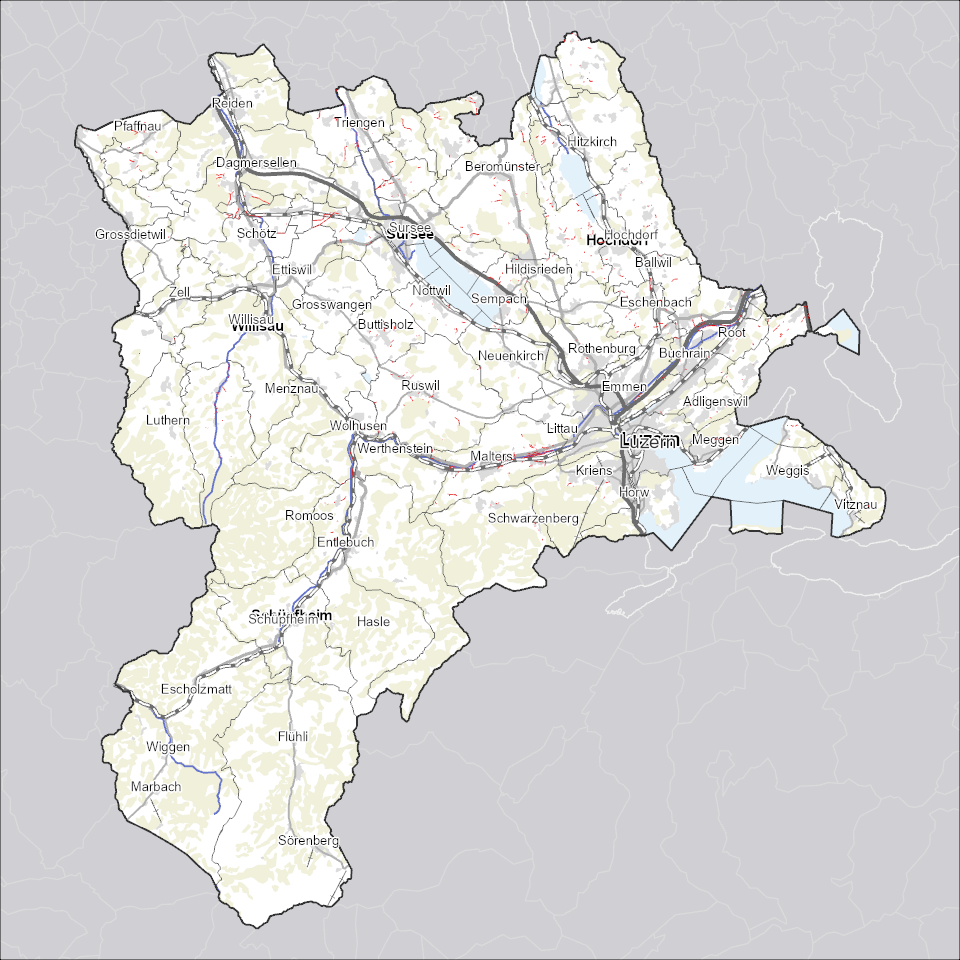
Kanton Luzern
))
- Formato di distribuzione
-
-
ESRI Geodatabase (.gdb)
(
)
-
ESRI Shapefile (.shp)
(
)
-
OGC GeoPackage (.gpkg)
(
)
-
INTERLIS (.itf/.xtf)
(
)
-
ESRI Geodatabase (.gdb)
(
)
Distributore
Servizio responsabile
- Nome dell'ente
-
Dienststelle Raum und Wirtschaft (rawi)
- Telefono
-
041 228 51 83
Indirizzo
- Risorsa online
- https://geoportal.lu.ch ( https )
- Ruolo
- Point of contact
- Nome
-
Geodaten
- Cognome
-
Kanton Luzern
- Abbreviazione dell'organizzazione
-
rawi
- Risorsa online
-
Datenshop
(
https
)
Produktansicht Geodatenshop
- Livello
- Set di dati
- Genealogia del dato – Processo di produzione
-
unbekannt
- Oggetto di tipo geometrico
- polygon
- Identificatore del sistema di riferimento
- CH1903+
Informazioni sul contenuto
- Lingua dei metadati
-
ger
- Included with dataset
- Data (Pubblicazione)
- 2024-09-16
Classe
- Designazione
-
Flächen
Attributo
- Nome
-
AUSNAHMEFALL
- Descrizione
-
Ausnahmefall
Attributo
- Nome
-
AUTHOFDEC
- Descrizione
-
Beschlussbehörde
Attributo
- Nome
-
BEMERKUNG
- Descrizione
-
Bemerkung
Attributo
- Nome
-
DATEOFVALID
- Descrizione
-
Inkraftsetzungsdatum
Attributo
- Nome
-
FESTLEGUNGSART
- Descrizione
-
Festlegungsart
Attributo
- Nome
-
NROFVALID
- Descrizione
-
Nummer Inkraftsetzung
Attributo
- Nome
-
OBJECTID
- Descrizione
-
OBJECTID
Attributo
- Nome
-
RECHTSTAT
- Descrizione
-
Rechtsstatus
Attributo
- Nome
-
SHAPE
- Descrizione
-
SHAPE
Attributo
- Nome
-
SHAPE_Area
- Descrizione
-
SHAPE_Area
Attributo
- Nome
-
SHAPE_Length
- Descrizione
-
SHAPE_Length
- Genere del modello
- Descrizione di oggetto
Metadata
- Lingua dei metadati
- Deutsch
- Set dei caratteri dei metadati
- UTF8
- Livello gerarchico
- Set di dati
- Data dei metadati
- 2025-11-29
- Nome dello Standard dei metadati
-
GM03 2+
Contatto
Servizio responsabile
- Nome dell'ente
-
Dienststelle Raum und Wirtschaft (rawi)
- Telefono
-
041 228 51 83
Indirizzo
- Città
-
Luzern
- Codice postale
-
6002
- Nazione
-
CH
- Via
-
Murbacherstrasse
- Numero
-
21
- Risorsa online
- https://geoportal.lu.ch ( https )
- Ruolo
- Point of contact
- Nome
-
Evi
- Cognome
-
Rothenbuehler
- Abbreviazione dell'organizzazione
-
rawi
- Frequenza di aggiornamento
- Secondo necessità