geocat.ch
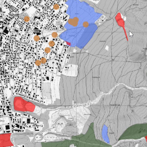
Inventory of priority nature areas 2025: Biotopes, landscape protection, natural monuments
The inventory of priority nature areas contains the areas and objects of national and local importance that are worthy of protection (status as of 2025).
Simple
- Alternate title
-
Natural priority area inventory
- Alternate title
-
Nature inventory
- Date (Publication)
- 2025-12-04
- Identifier
- https://metadata.geo.llv.li/57bbae45-bb7e-4a6f-b7c0-69e939fcbd76
- Purpose
-
The inventory is a guide for the authorities and must be taken into account for authorisations and the assessment of interventions. It is based on the Law on the Protection of Nature and Landscape (LGBL 1996 No. 17)
- Status
- On going
Publisher
- Hours of service
-
8:00-11:30 und 13:30-17:00
Owner
- Hours of service
-
8:00-11:30 und 13:30-17:00
- Spatial representation type
- Vector
Spatial resolution
- Spatial resolution
- 30 m
- Topic category
-
- F Geoscientific information
- L Environment
Extent
Extent
- Description
-
Liechtenstein
))

- Maintenance and update frequency
- Not planned
Resource format
- Title
-
INTERLIS 1 (ITF)
- Date
Resource format
- Title
-
ESRI Shapefile (SHP)
- Date
- GEMET - INSPIRE themes, version 1.0
-
-
Protected sites
-
- GEMET
-
-
landscape conservation
-
biotope
-
natural monument
-
- geocat.ch
-
-
INSPIRE
-
OpenData
-
- Räumlicher Anwendungsbereich
-
-
National
-
Resource constraints
- Use limitation
-
keine
- Access constraints
- Other restrictions
- Use constraints
- Other restrictions
- Other constraints
- No limitations to public access
Resource constraints
- Access constraints
- Other restrictions
- Use constraints
- Other restrictions
- Other constraints
- No conditions to access and use
- Other constraints
- Opendata BY: Open use. Must provide the source.
- Language
- Deutsch
- Character encoding
- UTF8
- Subtopic Category
- F1 Geology
- Subtopic Category
- L1 Environmental Protection, Noise
- Subtopic Category
- L2 Nature and Landscape Protection
- Language
- Deutsch
- Included with dataset
- 0
- Title
-
Datenmodell Natur- und Landschaft
- Date (Creation)
- 2025-05-31
- Distribution format
-
-
OGC Geopackage (GPKG)
-
ESRI File Geodatabase FileGDB (GDB)
-
INTERLIS 2 (XTF)
-
Point of contact
- Hours of service
-
8:00-11:30 und 13:30-17:00
Digital transfer options
- OnLine resource
-
Geodatenportal der Liechtensteinischen Landesverwaltung
Geodata portal of the Liechtenstein National Administration
Digital transfer options
- OnLine resource
-
li.au.nl_inv_schuetzenswerte_lebensraeume
Schützenswerte Lebensräume
Digital transfer options
- OnLine resource
-
li.au.nl_inv_schuetzenswerte_landschaften
Schützenswerte Landschaften
Digital transfer options
- OnLine resource
-
li.au.nl_inv_schuetzenswerte_naturdenkmaeler
Schuetzenswerter Naturdenkmäler
Digital transfer options
- OnLine resource
-
Zip Download über das Geodatenportal
Zip download via the geodata portal
Digital transfer options
- OnLine resource
-
li.au.nl_inv_schuetzenswerte_waldstandorte
Schützenswerte Waldstandorte
- Hierarchy level
- Dataset
Report
Result
- Title
-
VERORDNUNG (EG) Nr. 1089/2010 DER KOMMISSION vom 23. November 2010 zur Durchführung der Richtlinie 2007/2/EG des Europäischen Parlaments und des Rates hinsichtlich der Interoperabilität von Geodatensätzen und -diensten
- Date (Publication)
- 2010-12-08
- Explanation
-
gemäss INSPIRE Bestandteil des Themas Schutzgebiete.
- Pass
- false
- Statement
-
Digitalisierung auf Basis topographischer Karte
- Hierarchy level
- Dataset
- Topology level
- Full planar graph
- Geometric object type
- Surface
- Geometric object count
- 600
- Reference system identifier
- http://www.opengis.net/def/crs/EPSG/0/21782
- Reference system identifier
- http://www.opengis.net/def/crs/EPSG/0/4936
- Maintenance and update frequency
- As needed
Metadata
- Metadata identifier
- 57bbae45-bb7e-4a6f-b7c0-69e939fcbd76
- Language
- Deutsch
- Character encoding
- UTF8
- Language
- Français
- Character encoding
- UTF8
- Language
- Italiano
- Character encoding
- UTF8
- Language
- English
- Character encoding
- UTF8
Point of contact
- Hours of service
-
8:00-11:30 und 13:30-17:00
Type of resource
- Resource scope
- Dataset
- Metadata linkage
-
https://www.geocat.ch/geonetwork/srv/api/records/57bbae45-bb7e-4a6f-b7c0-69e939fcbd76
- Date info (Creation)
- 2012-01-16T13:59:06Z
- Date info (Revision)
- 2026-04-13T09:31:51.939038Z
Metadata standard
- Title
-
eCH-0271