geocat.ch
Landw. Bewirtschaftung: Perimeter landwirtschaftliche Nutzflächen (LN) und Sömmerungsflächen
Perimeter der landwirtschaftlichen Nutzflächen und Sömmerungsflächen
Simple
Informazioni di identificazione
- Titolo alternativo
-
PERIMELN_DS
- Data (Creazione)
- 2025-02-04
- Formato di presentazione
- Mappa digitale
- Finalità
-
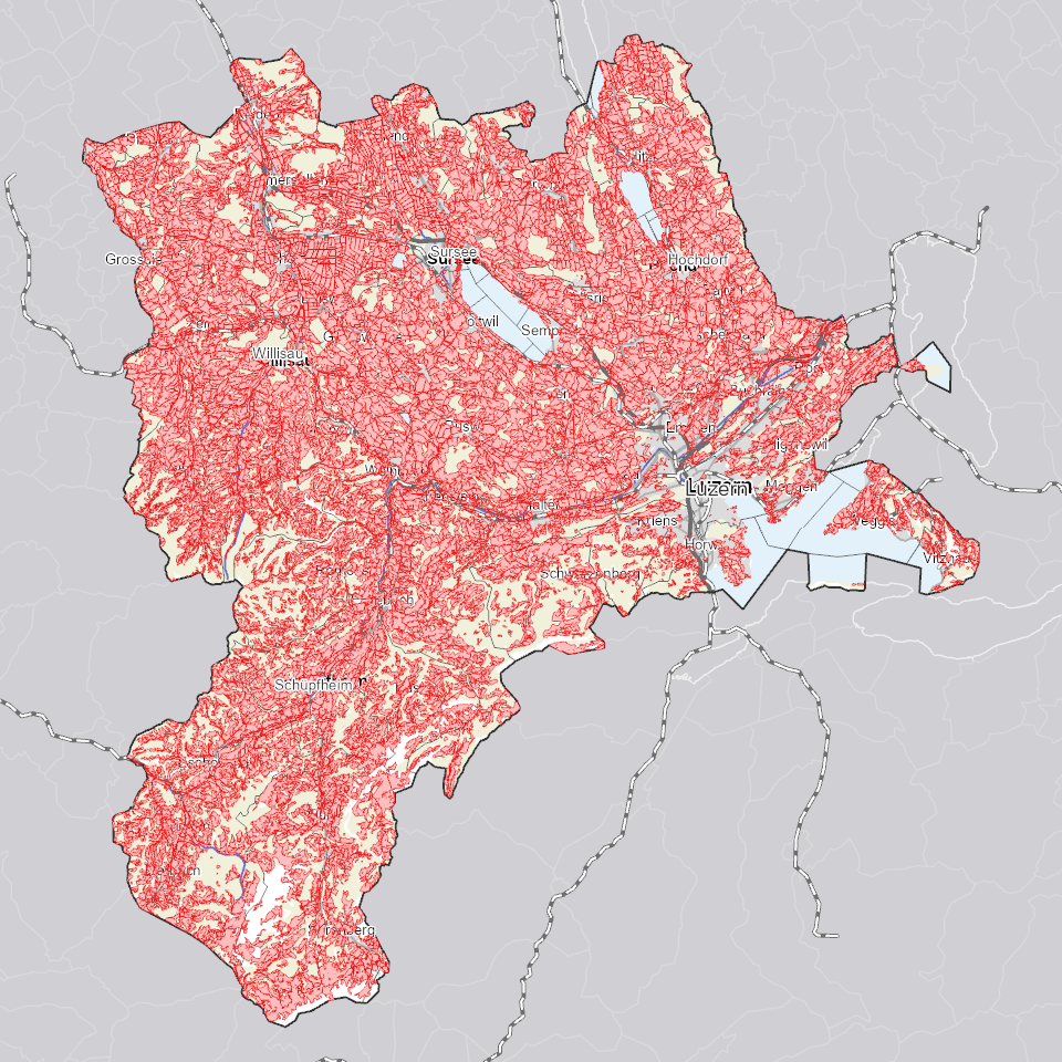
Der Perimeter landwirtschaftliche Nutzflächen (LN) und Sömmerungsflächen stellt die potenziell zu bewirtschaftende Landwirtschaftsfläche, ohne die landwirtschaftlich unproduktiven Flächen dar. Er dient, wie die Bewirtschaftungseinheit, als Erfassungshilfe der Nutzungsflächen oder der artenreichen Grün- und Streueflächen im Sömmerungsgebiet.
- Status
- In corso
Punto di contatto
Servizio responsabile
- Nome dell'ente
-
Kanton Luzern, Abteilung Geoinformation
- Telefono
-
041 228 51 83
Indirizzo
- Risorsa online
- https://geoportal.lu.ch/ ( https )
- Ruolo
- Publisher
Punto di contatto
Servizio responsabile
- Nome dell'ente
-
Dienststelle Landwirtschaft und Wald (lawa)
- Telefono
-
041 349 74 00
Indirizzo
- Ruolo
- Owner
- Cognome
-
Dienststelle Landwirtschaft und Wald (lawa)
- Abbreviazione dell'organizzazione
-
lawa
- Frequenza di aggiornamento
- Annuale
-
geocat.ch
-
-
opendata.swiss
-
Bodennutzung
-
Landwirtschaft
-
Landwirtschaftliche Nutzung
-
Wirtschaftliche Aktivitäten
-
- Vincoli di accesso
- none
- Vincoli di fruibilità
- Proprietà intellettuale dei dati
- Limitazione d’uso
-
öffentlich zugängliche Geobasisdaten
- Vincoli di accesso
- none
- Vincoli di fruibilità
- none
- Limitazione d’uso
-
Freie Nutzung. Quellenangabe ist Pflicht
- Identificatore aggregato del dataset
- 191c2eb3-fdcb-499c-8987-71fbdf1d0ce9
- Tipo di associazione
- Larger work citation
- Identificatore aggregato del dataset
- ff78dd19-1f8c-46a3-8fe0-d46e11a2ce58
- Tipo di associazione
- Larger work citation
- Identificatore aggregato del dataset
- 5a5bf324-6b9b-4c01-ae91-eeb402fc21ce
- Tipo di associazione
- Larger work citation
- Identificatore aggregato del dataset
- 0655f568-41fa-44f4-8f27-bec89cf08f65
- Tipo di associazione
- Larger work citation
- Identificatore aggregato del dataset
- 0e55c9a0-6df3-49de-bfb1-0780102cc781
- Tipo di associazione
- Larger work citation
- Identificatore aggregato del dataset
- 25164c08-5c7f-48cd-a82c-881dacc758f3
- Tipo di associazione
- Larger work citation
- Identificatore aggregato del dataset
- c9aa5c71-3e6c-4072-a57c-c59e08470ab4
- Tipo di associazione
- Larger work citation
- Tipo di rappresentazione spaziale
- Dati vettoriali
- Lingua dei metadati
- Deutsch
- Set dei caratteri dei metadati
- UTF8
- Tema
-
- S Agricoltura
- Descrizione
-
Kanton Luzern
))
- Formato di distribuzione
-
-
ESRI Geodatabase (.gdb)
(
)
-
ESRI Shapefile (.shp)
(
)
-
OGC GeoPackage (.gpkg)
(
)
-
ESRI Geodatabase (.gdb)
(
)
Distributore
Servizio responsabile
- Nome dell'ente
-
Dienststelle Raum und Wirtschaft (rawi)
- Telefono
-
041 228 51 83
Indirizzo
- Risorsa online
- https://geoportal.lu.ch ( https )
- Ruolo
- Point of contact
- Nome
-
Geodaten
- Cognome
-
Kanton Luzern
- Abbreviazione dell'organizzazione
-
rawi
- Risorsa online
-
Datenshop
(
https
)
Produktansicht Geodatenshop
- Livello
- Set di dati
- Genealogia del dato – Processo di produzione
-
unbekannt
- Oggetto di tipo geometrico
- polygon
- Identificatore del sistema di riferimento
- CH1903+
Informazioni sul contenuto
- Lingua dei metadati
-
ger
- Included with dataset
- Data (Pubblicazione)
- 2020-05-08
Classe
- Designazione
-
Flächen
Attributo
- Nome
-
DATEOFCHNG
- Descrizione
-
Datum letzte Änderung
Attributo
- Nome
-
ID_LN
- Descrizione
-
Identifikator LN
Attributo
- Nome
-
OBJECTID
- Descrizione
-
OBJECTID
Attributo
- Nome
-
REF_YEAR
- Descrizione
-
Bezugsjahr
Attributo
- Nome
-
SHAPE
- Descrizione
-
SHAPE
Attributo
- Nome
-
TYP
- Descrizione
-
Typ
Attributo
- Nome
-
UUID
- Descrizione
-
Universally Unique Identifier
Attributo
- Nome
-
SHAPE_Area
- Descrizione
-
SHAPE_Area
Attributo
- Nome
-
SHAPE_Length
- Descrizione
-
SHAPE_Length
- Genere del modello
- Descrizione di oggetto
Metadata
- Lingua dei metadati
- Deutsch
- Set dei caratteri dei metadati
- UTF8
- Livello gerarchico
- Set di dati
- Data dei metadati
- 2025-09-03
- Nome dello Standard dei metadati
-
GM03 2+
Contatto
Servizio responsabile
- Nome dell'ente
-
Dienststelle Raum und Wirtschaft (rawi)
- Telefono
-
041 228 51 83
Indirizzo
- Risorsa online
- https://geoportal.lu.ch ( https )
- Ruolo
- Point of contact
- Nome
-
Lea
- Cognome
-
Felber
- Abbreviazione dell'organizzazione
-
rawi
- Frequenza di aggiornamento
- Secondo necessità