geocat.ch
Digital aerial images swisstopo
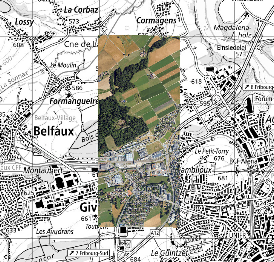
Digital aerial images include aerial photographs captured by swisstopo since 2026. Each individual image consists of 4 channels (red, green, blue, and near-infrared) in 8 bits. It is described by the coordinates of the image center, the area it covers (footprint), and metadata. These data are collected to update national surveying products (orthophotos, topographic landscape model, national maps, etc.). Currently, one third of the territory is produced each year. Switzerland is divided into three regions according to cantonal boundaries. Aerial images are also regularly produced for national environmental monitoring programs.
Simple
- Alternate title
-
Digital aerial Images swisstopo
- Date (Creation)
- 2026-01-01
- Identifier
- ch.swisstopo.lubis-luftbilder_digital
Owner
- Topic category
-
- A Imagery base maps earth cover
Extent
Extent
- Description
-
Switzerland
))

Extent
Extent
- Description
-
Liechtenstein
))

- Maintenance and update frequency
- Continual
- Duration of Conservation
- 275
- Appraisal of Archival Value
- A
- Reason for Archiving Value
- Evidence of business practice
- geocat.ch
-
-
Conservation and archiving planning AAP - Confederation
-
opendata.swiss
-
- GEMET - INSPIRE themes, version 1.0
-
-
Orthoimagery
-
- geocat.ch
-
-
FSDI Federal Spatial Data Infrastructure
-
Resource constraints
- Other constraints
- Opendata BY: Open use. Must provide the source.
Associated resource
- Title
-
Digital aerial photographs
- Association Type
- Reference to a master resource of which this one is a part
- Language
- Deutsch
- Character encoding
- UTF8
- Subtopic Category
- A3 Aerial and Satellite Imagery
- Basic Geodata
- true
- Basic Geodata ID
-
36.1
- Basic Geodata Legal Level
- Federal
- Distribution format
-
-
Cloud Optimized GeoTIFF (TIFF / TIF)
-
Digital transfer options
- OnLine resource
-
ch.swisstopo.lubis-digitale_luftbilder
WMS-FSDI service, layer "Digital aerial images swisstopo"
Digital transfer options
- OnLine resource
-
Vorschau map.geo.admin.ch
Preview map.geo.admin.ch
Digital transfer options
- OnLine resource
-
ch.swisstopo.lubis-luftbilder_digital
WMS-FSDI service, layer "Digital aerial images swisstopo"
Digital transfer options
Digital transfer options
- OnLine resource
-
Webseite Luftbilder
Digital transfer options
- OnLine resource
-
Link für Datenbezug
Digital transfer options
- OnLine resource
-
LUBIS-Viewer
Digital transfer options
- OnLine resource
-
RESTful API von geo.admin.ch
RESTful API from geo.admin.ch
Metadata
- Metadata identifier
- 53df902c-b2b4-4c95-8299-ededc0897040
- Language
- Deutsch
- Character encoding
- UTF8
- Language
- Français
- Character encoding
- UTF8
- Language
- Italiano
- Character encoding
- UTF8
- Language
- English
- Character encoding
- UTF8
- Language
- Rumantsch
- Character encoding
- UTF8
Point of contact
Type of resource
- Resource scope
- Dataset
- Metadata linkage
-
https://www.geocat.ch/geonetwork/srv/api/records/53df902c-b2b4-4c95-8299-ededc0897040
- Date info (Creation)
- 2026-03-10T14:44:03.666Z
- Date info (Revision)
- 2026-09-14T04:36:22.68523Z
Metadata standard
- Title
-
eCH-0271