geocat.ch
Baukoordination (NW)
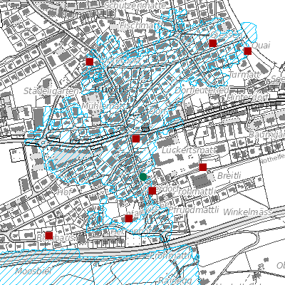
Der Geobasisdatensatz umfasst die Baukoordination vom Kanton Nidwalden. Die Karte Baukoordination beinhaltet eine Auswertung (Flächenverschnitt) verschiedenster für die Beurteilung eines Baugesuches relevanten Themen wie Nutzungsplanung, Schutzzonen, Gewässer, Naturgefahren etc. Das Ergebnis zeigt Nutzungsanteile einer beliebigen Liegenschaft oder Teilen davon. Enthält auch die mehrwertabgabepflichtigen Parzellen.
Simple
- Date (Creation)
- 2016-01-26
- Date (Revision)
- 2023-11-17
- Status
- On going
Owner
Das Amt für Raumentwicklung (ARE NW) sorgt für die haushälterische Nutzung des Bodens und die geordnete Besiedlung des Kantons unter Wahrung der natürlichen Lebensgrundlagen. Es koordiniert die Zusammenarbeit bei der Erfüllung raumwirksamer Aufgaben und sorgt für den Interessenausgleich bei räumlichen Nutzungskonflikten.
- Spatial representation type
- Vector
- Topic category
-
- E Planning cadastre
Extent
Extent
- Description
-
Canton of Nidwalden (NW)
))

- Maintenance and update frequency
- Weekly
- GEMET
-
-
building area
-
building land
-
building site
-
building site preparation
-
municipality
-
co-ordination
-
planning
-
physical planning
-
human settlement
-
settlement concentration
-
structure plan
-
- geocat.ch
-
-
construction
-
coordination
-
local planning
-
construction permit
-
planning-related added value
-
Resource constraints
- Access constraints
- Other restrictions
- Use constraints
- Other restrictions
- Other constraints
- Die Geodaten sind öffentlich zugänglich (Zugangsberechtigungsstufe A gemäss GeoIV Art. 21).
- Language
- Deutsch
- Character encoding
- UTF8
- Environment description
-
Abgeleitetes Produkt
- Subtopic Category
- E1 Spatial Planning, Spatial Development
- Basic Geodata
- false
- Distribution format
-
-
Portable Document Format (PDF)
-
Distributor
Digital transfer options
- OnLine resource
-
Webkarte Baukoordination
Identifier
- Code
- 2056
Metadata
- Metadata identifier
- 53F576EB-5165-44C9-961D-B829ED5128F8
- Language
- Deutsch
- Character encoding
- UTF8
- Language
- Français
- Character encoding
- UTF8
- Language
- English
- Character encoding
- UTF8
- Language
- Italiano
- Character encoding
- UTF8
Custodian
Type of resource
- Resource scope
- Dataset
- Date info (Revision)
- 2026-06-16T06:08:30.000Z
Metadata standard
- Title
-
GM03_2