geocat.ch
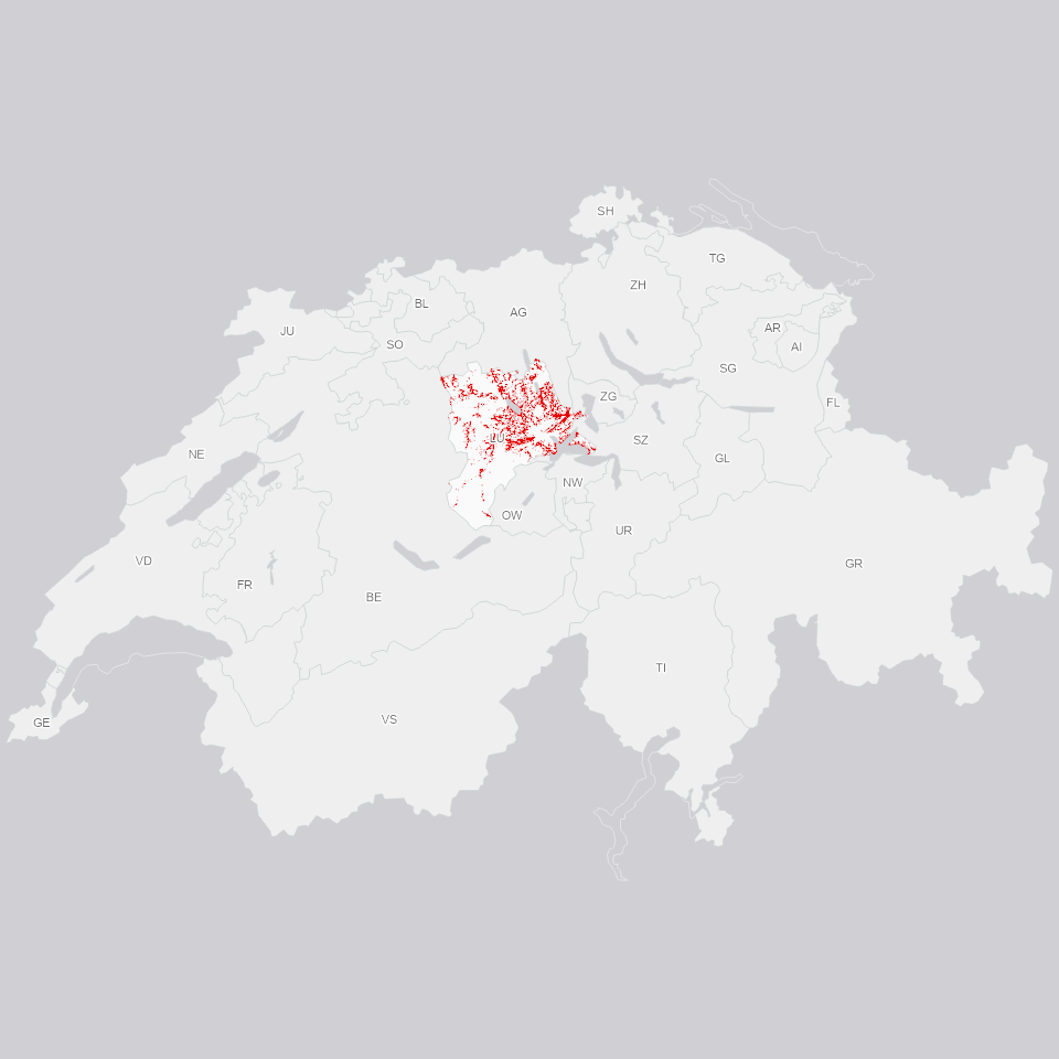
Zonenpläne: Gewässerraum
Gewässerraum aus den Zonenplan-Überlagerungen, unterschieden nach Freihaltezone (ausserhalb Bauzone) und Grünzone (innerhalb Bauzone).
Simple
Informazioni di identificazione
- Titolo alternativo
-
ZPUEBGEW_DS
- Data (Creazione)
- 2025-12-07
- Formato di presentazione
- Mappa digitale
- Finalità
-
Der Gewässerraum dient der langfristigen Gewährleistung der natürlichen Funktionen der Gewässer, dem Schutz vor Hochwasser und der Gewässernutzung. Gewässerraum wird innerhalb Bauzone als Grünzone Gewässerraum und ausserhalb Bauzone als Freihaltezone Gewässerraum festgelegt. Der Gewässerraum wird im Ortsplanungsverfahren mit dem Zonenplan festgelegt. Landwirtschaftliche Flächen im Gewässerraum können als Biodiversitätsförderflächen bewirtschaftet und dürfen somit höchstens extensiv genutzt werden. Der Gewässerraum soll weitgehend frei von neuen Anlagen bleiben. Dient der separaten Publikation des Gewässerraums im ÖREB-Kataster und Geodatenshop.
- Status
- In corso
Punto di contatto
Servizio responsabile
- Nome dell'ente
-
Kanton Luzern, Abteilung Geoinformation
- Telefono
-
041 228 51 83
Indirizzo
- Risorsa online
- https://geoportal.lu.ch/ ( https )
- Ruolo
- Publisher
Punto di contatto
Servizio responsabile
- Nome dell'ente
-
Raumdatenpool Kanton Luzern
Indirizzo
- Città
-
Luzern
- Codice postale
-
6002
- Nazione
-
CH
- Via
-
Murbacherstrasse
- Numero
-
21
- Ruolo
- Owner
- Cognome
-
Raumdatenpool Kanton Luzern
- Abbreviazione dell'organizzazione
-
RDP
- Frequenza di aggiornamento
- Continuo
-
geocat.ch
-
-
opendata.swiss
-
Fliessgewässer
-
Gewässerschutz
-
Nutzungsplanung
-
Oberflächengewässer
-
Raumplanung
-
Zonenplan
-
- Vincoli di accesso
- none
- Vincoli di fruibilità
- Proprietà intellettuale dei dati
- Limitazione d’uso
-
öffentlich zugängliche Geobasisdaten
- Vincoli di accesso
- none
- Vincoli di fruibilità
- none
- Limitazione d’uso
-
Freie Nutzung. Quellenangabe ist Pflicht
- Identificatore aggregato del dataset
- b19e0e24-d0ba-440a-b450-aa83176ca1d9
- Tipo di associazione
- Larger work citation
- Identificatore aggregato del dataset
- ad124f7c-5a3e-4fdd-bb99-9f15d99e2e31
- Tipo di associazione
- Larger work citation
- Identificatore aggregato del dataset
- 54185867-d324-444e-b2f7-d95e597ccc47
- Tipo di associazione
- Larger work citation
- Identificatore aggregato del dataset
- ff397148-97d0-487f-9f9c-2c457ed25b55
- Tipo di associazione
- Larger work citation
- Identificatore aggregato del dataset
- eb3b82b1-93d6-4bdb-9a83-5eab36266e9e
- Tipo di associazione
- Larger work citation
- Identificatore aggregato del dataset
- f5d8c5cd-a02e-4e0e-973b-9bfa5a1abc7a
- Tipo di associazione
- Larger work citation
- Identificatore aggregato del dataset
- d5cb5c1c-ccb9-45d3-9f9d-8055d24e5f93
- Tipo di associazione
- Larger work citation
- Tipo di rappresentazione spaziale
- Dati vettoriali
- Lingua dei metadati
- Deutsch
- Set dei caratteri dei metadati
- UTF8
- Tema
-
- E Pianificazione territoriale, catasto fondiario
- E1 Pianificazione e sviluppo territoriale
- Descrizione
-
Schweiz
))
- Formato di distribuzione
-
-
ESRI Geodatabase (.gdb)
(
)
-
ESRI Shapefile (.shp)
(
)
-
OGC GeoPackage (.gpkg)
(
)
-
ESRI Geodatabase (.gdb)
(
)
Distributore
Servizio responsabile
- Nome dell'ente
-
Dienststelle Raum und Wirtschaft (rawi)
- Telefono
-
041 228 51 83
Indirizzo
- Risorsa online
- https://geoportal.lu.ch ( https )
- Ruolo
- Point of contact
- Nome
-
Geodaten
- Cognome
-
Kanton Luzern
- Abbreviazione dell'organizzazione
-
rawi
- Risorsa online
-
Datenshop
(
https
)
Produktansicht Geodatenshop
- Livello
- Set di dati
- Genealogia del dato – Processo di produzione
-
Grundlagen: Zonenpläne (Überlagerungen)
- Oggetto di tipo geometrico
- polygon
- Identificatore del sistema di riferimento
- CH1903+
Informazioni sul contenuto
- Lingua dei metadati
-
ger
- Included with dataset
- Data (Pubblicazione)
- 2020-11-10
Classe
- Designazione
-
Flächen
Attributo
- Nome
-
AV_QUALITAET
- Descrizione
-
Qualitätsstandard AV
Attributo
- Nome
-
BEMERKUNG
- Descrizione
-
Bemerkung
Attributo
- Nome
-
BZR_ARTIKEL
- Descrizione
-
Artikel im BZR
Attributo
- Nome
-
BZR_WEITERE
- Descrizione
-
Weitere Bestimmungen im BZR
Attributo
- Nome
-
DATEOFDEC
- Descrizione
-
Beschlussdatum
Attributo
- Nome
-
DATEOFVALID
- Descrizione
-
Inkraftsetzungsdatum
Attributo
- Nome
-
DM_ORIGINAL
- Descrizione
-
Datenmodell Originaldaten
Attributo
- Nome
-
FILENAME_ORIGINAL
- Descrizione
-
Filename Originaldaten
Attributo
- Nome
-
ID_ORIGINAL
- Descrizione
-
Identifikator in Originaldaten
Attributo
- Nome
-
OBJECTID
- Descrizione
-
OBJECTID
Attributo
- Nome
-
RECHTSTAT
- Descrizione
-
Rechtsstatus
Attributo
- Nome
-
RRE_NR
- Descrizione
-
Nummer Regierungsratsentscheid
Attributo
- Nome
-
SHAPE
- Descrizione
-
SHAPE
Attributo
- Nome
-
ZONTYP_ABK
- Descrizione
-
Abkürzung Zonentyp Gemeinde
Attributo
- Nome
-
ZONTYP_BEZ
- Descrizione
-
Bezeichnung Zonentyp Gemeinde
Attributo
- Nome
-
ZONTYP_GDE
- Descrizione
-
Zonentyp Gemeinde
Attributo
- Nome
-
ZONTYP_KT
- Descrizione
-
Zonentyp Kanton
Attributo
- Nome
-
SHAPE.AREA
- Descrizione
-
SHAPE.AREA
Attributo
- Nome
-
SHAPE.LEN
- Descrizione
-
SHAPE.LEN
- Genere del modello
- Descrizione di oggetto
Metadata
- Lingua dei metadati
- Deutsch
- Set dei caratteri dei metadati
- UTF8
- Livello gerarchico
- Set di dati
- Data dei metadati
- 2025-12-11
- Nome dello Standard dei metadati
-
GM03 2+
Contatto
Servizio responsabile
- Nome dell'ente
-
Dienststelle Raum und Wirtschaft (rawi)
- Telefono
-
041 228 51 83
Indirizzo
- Città
-
Luzern
- Codice postale
-
6002
- Nazione
-
CH
- Via
-
Murbacherstrasse
- Numero
-
21
- Risorsa online
- https://geoportal.lu.ch ( https )
- Ruolo
- Point of contact
- Nome
-
Evi
- Cognome
-
Rothenbuehler
- Abbreviazione dell'organizzazione
-
rawi
- Frequenza di aggiornamento
- Secondo necessità