geocat.ch
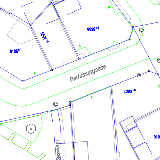
Amtliche Vermessung GEOgraf 1:500
Kombinationsprodukt (2 Dateien) aus "Parzellenplan Amtliche Vermessung" und "Amtliche Vermessung Vermessungspunkte".
Simple
- Date (Creation)
- 1996-02-01
- Status
- Completed
Owner
- Spatial representation type
- Vector
- Topic category
-
- A Imagery base maps earth cover
Extent
Extent
- Description
-
Canton of Basel-Stadt (BS)
))

- Maintenance and update frequency
- Daily
- geocat.ch
-
-
cadastral surveying
-
basis plan
-
Resource constraints
- Other constraints
-
Die Geodaten sind beschränkt öffentlich zugänglich. (Zugangsberechtigungsstufe [B2] = Dienststelle
- Other constraints
-
Es gelten die Nutzungsbedingungen für Geodaten des Kantons Basel-Stadt. ( http://www.geo.bs.ch/agb)
Associated resource
- Association Type
- Resource is a description of associated resource
- Metadata Reference
Associated resource
- Association Type
- Resource is a description of associated resource
- Metadata Reference
Associated resource
- Title
-
Parzellenplan Amtliche Vermessung
- Association Type
- Reference to a master resource of which this one is a part
- Language
- Deutsch
- Character encoding
- UTF8
- Subtopic Category
- A1 Base Maps, Landscape Models
- Distribution format
-
-
AutoCAD DWG (DWG)
-
Distributor
- Hours of service
-
Mo - Do: 8:00 bis 12:00, 13:30 bis 16:30, Fr: 8:00 bis 12:00, 13:30 bis 16:00
Digital transfer options
- OnLine resource
-
Geodaten-Shop
Öffentlich zugänglicher Geodaten-Downloaddienst des Kantons Basel-Stadt
- Reference system identifier
- CH1903+ / LV95/EPSG: 2056
Metadata
- Metadata identifier
- 4d63fbed-521a-496e-bf00-fd23f300da57
- Language
- Deutsch
- Character encoding
- UTF8
- Language
- Français
- Character encoding
- UTF8
- Language
- Italiano
- Character encoding
- UTF8
- Language
- English
- Character encoding
- UTF8
Custodian
Type of resource
- Resource scope
- Dataset
- Metadata linkage
-
https://www.geocat.ch/geonetwork/srv/api/records/4d63fbed-521a-496e-bf00-fd23f300da57
- Date info (Creation)
- 2016-05-13T12:48:02Z
- Date info (Revision)
- 2026-04-13T09:29:12.099062Z
Metadata standard
- Title
-
eCH-0271