geocat.ch
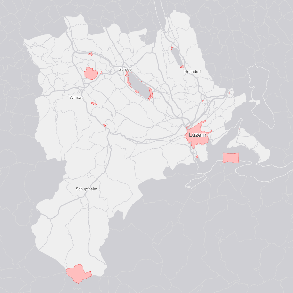
Jagdeinschränkungen
Zeigt Gebiete mit Jagdeinschränkungen oder -verboten.
Simple
Identification info
- Alternate title
-
JAGDEINS_DS
- Date (Creation)
- 2024-06-14
- Presentation form
- Digital map
- Purpose
-
In gewissen Gebieten können zusätzliche Jagdeinschränkungen oder sogar -verbote definiert werden. Die Dienststelle lawa publiziert diese im folgenden Datensatz.Die Gebiete haben Auswirkungen auf die Ausschreibung der Jagdreviere.
- Status
- Completed
Point of contact
Responsible party
- Organisation name
-
Kanton Luzern, Abteilung Geoinformation
- Voice
-
041 228 51 83
Address
- City
-
Luzern
- Postal code
-
6002
- Country
-
CH
- Electronic mail address
- Streetname
-
Murbacherstrasse
- Streetnumber
-
21
- Website
- https://geoportal.lu.ch/ ( https )
- Role
- Publisher
Point of contact
Responsible party
- Organisation name
-
Dienststelle Landwirtschaft und Wald (lawa)
- Voice
-
041 349 74 00
Address
- City
-
Sursee
- Postal code
-
6210
- Country
-
CH
- Electronic mail address
- Streetname
-
Centralstrasse
- Streetnumber
-
33
- Role
- Owner
- Last Name
-
Dienststelle Landwirtschaft und Wald (lawa)
- Organisation Acronym
-
lawa
- Maintenance and update frequency
- As needed
-
geocat.ch
-
-
opendata.swiss
-
Administrative Einteilung
-
Fauna
-
Jagd
-
Wild
-
Wirtschaftliche Aktivitäten
-
- Access constraints
- none
- Use constraints
- Copyright
- Use limitation
-
öffentlich zugängliche Geobasisdaten
- Access constraints
- none
- Use constraints
- none
- Use limitation
-
Freie Nutzung. Quellenangabe ist Pflicht
- Aggregate Datasetindentifier
- 3fec5466-58b2-4907-8c94-89367a859d2b
- Association Type
- Larger work citation
- Aggregate Datasetindentifier
- 53c85b7d-e109-4d5b-877a-93ce9b1ca3be
- Association Type
- Larger work citation
- Spatial representation type
- Vector
- Language
- Deutsch
- Character set
- UTF8
- Topic category
-
- T Economical Activities
- Description
-
Kanton Luzern
))
- Distribution format
-
-
ESRI Geodatabase (.gdb)
(
)
-
ESRI Shapefile (.shp)
(
)
-
OGC GeoPackage (.gpkg)
(
)
-
ESRI Geodatabase (.gdb)
(
)
Distributor contact
Responsible party
- Organisation name
-
Dienststelle Raum und Wirtschaft (rawi)
- Voice
-
041 228 51 83
Address
- City
-
Luzern
- Postal code
-
6002
- Country
-
CH
- Electronic mail address
- Streetname
-
Murbacherstrasse
- Streetnumber
-
21
- Website
- https://geoportal.lu.ch ( https )
- Role
- Point of contact
- First Name
-
Geodaten
- Last Name
-
Kanton Luzern
- Organisation Acronym
-
rawi
- OnLine resource
-
Datenshop
(
https
)
Produktansicht Geodatenshop
- Hierarchy level
- Dataset
- Statement
-
unbekannt
- Geometric object type
- polygon
- Reference system identifier
- CH1903+
Content Information
- Metadata language
-
ger
- Included with dataset
- Date (Publication)
- 2024-06-14
Class
- Name
-
Flächen
Attribute
- Name
-
EINSCHR_VERBOT
- Description
-
Jagdeinschränkungen oder -verbot
Attribute
- Name
-
OBJECTID
- Description
-
OBJECTID
Attribute
- Name
-
SHAPE
- Description
-
Shape
Attribute
- Name
-
SHAPE_Area
- Description
-
SHAPE_Area
Attribute
- Name
-
SHAPE_Length
- Description
-
SHAPE_Length
- Model type
- Feature description
Metadata
- Metadata language
- Deutsch
- Character set
- UTF8
- Hierarchy level
- Dataset
- Date stamp
- 2025-09-03
- Metadata standard name
-
GM03 2+
Metadata author
Responsible party
- Organisation name
-
Dienststelle Raum und Wirtschaft (rawi)
- Voice
-
041 228 51 83
Address
- City
-
Luzern
- Postal code
-
6002
- Country
-
CH
- Electronic mail address
- Streetname
-
Murbacherstrasse
- Streetnumber
-
21
- Website
- https://geoportal.lu.ch ( https )
- Role
- Point of contact
- First Name
-
PhulbaDoma
- Last Name
-
Lama
- Organisation Acronym
-
rawi
- Maintenance and update frequency
- Not planned