geocat.ch
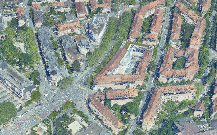
LIDAR-Punktwolke
Klassierte RGB-Punktwolke aus Airborne LIDAR Befliegung 2023.
Simple
- Date (Revision)
- 2023-06-02
- Status
- On going
Publisher
Owner
- Topic category
-
- C Elevation
Extent
Extent
- Description
-
Stadt Bern
N
S
E
W
))

- Maintenance and update frequency
- Periodic
- geocat.ch
-
-
Asprs Lidar
-
Resource constraints
- Use limitation
-
Zugangsberechtigungsstufe A: öffentlich zugänglich. Es gelten die Nutzungsbedingungen der Stadt Bern ( https://www.bern.ch/nutzungsbedingungen-geodaten).
- Language
- Deutsch
- Character encoding
- UTF8
- Distribution format
-
-
LAS
-
Point Cloud XYZ
-
Distributor
Digital transfer options
- OnLine resource
-
Geoportal
Link zur Detailseite vom Geoportal der Stadt Bern.
- Reference system identifier
- EPSG:2056
Metadata
- Metadata identifier
- 3f88f8cc-c023-4588-9884-6cfbb68ab5fe
- Language
- Deutsch
- Character encoding
- UTF8
Custodian
Type of resource
- Resource scope
- Dataset
- Date info (Creation)
- 2026-06-20T10:45:34
Metadata standard
- Title
-
GM03 2+