geocat.ch
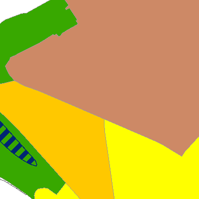
Siedlungsleitbild (Stansstad, NW)
Der Geodatensatz umfasst den kommunalen Richtplan inklusive Sidlungsbegrenzung und Siedlungstrenngürtel.
Dieser ist ein Teil des Siedlungsleitbildes. Das Siedlungsleitbild gibt Auskunft über die längerfristige bauliche Entwicklung und die gewünschte Gestaltung und Nutzung der Landschaft. Es beinhaltet thematische Aspekte der Siedlung, des Verkehrs, der Naturgefahren, der Ökologie, der Wirtschaft und der Gesellschaft.
Simple
- Date (Creation)
- 2020-04-01
- Date (Revision)
- 2024-09-25
- Identifier
- sd_richtplan
- Status
- On going
Owner
- Hours of service
-
Mo - Fr 08.00-11.45 Uhr / 14.00-17.00 Uhr (vor Feiertagen bis 16.30 Uhr)
- Spatial representation type
- Vector
- Topic category
-
- E Planning cadastre
Extent
Extent
- Description
-
Stansstad
))

- Maintenance and update frequency
- As needed
- GEMET
-
-
built-up area
-
society
-
social analysis
-
physical planning
-
human settlement
-
traffic
-
economy
-
economic viability
-
ecology
-
Resource constraints
- Access constraints
- Other restrictions
- Use constraints
- Other restrictions
- Other constraints
- Die Geodaten sind öffentlich zugänglich (Zugangsberechtigungsstufe A gemäss GeoIV Art. 21).
- Language
- Deutsch
- Character encoding
- UTF8
- Environment description
-
Adalin
- Subtopic Category
- E1 Spatial Planning, Spatial Development
- Basic Geodata
- true
- Basic Geodata ID
-
36-NW>A.1
- Basic Geodata Legal Level
- Kanton
- Distribution format
-
-
INTERLIS
-
andere Formate auf Anfrage
-
Distributor
Digital transfer options
- OnLine resource
-
Geoshop NW
Datenbezug
Digital transfer options
- OnLine resource
-
ch.nw.richtplaene-kommunal
WMS-Dienst Kanton Nidwalden
Digital transfer options
- OnLine resource
-
Webkarte Siedlungsleitbild
Identifier
- Code
- 2056
Metadata
- Metadata identifier
- 3B9F3966-54D1-465A-B589-5F03F04DF883
- Language
- Deutsch
- Character encoding
- UTF8
- Language
- Français
- Character encoding
- UTF8
- Language
- English
- Character encoding
- UTF8
- Language
- Italiano
- Character encoding
- UTF8
Custodian
Type of resource
- Resource scope
- Dataset
- Date info (Revision)
- 2026-05-12T10:10:46.000Z
Metadata standard
- Title
-
GM03_2